APIs, Tools, and Location Services
Making it easy to build mapping apps and solutions
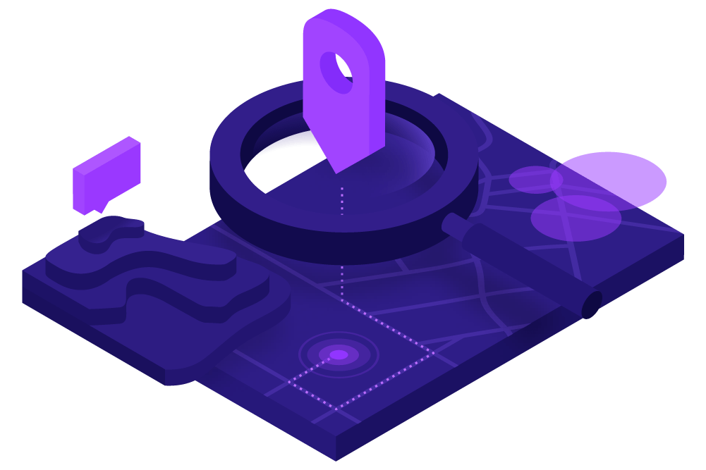
Start building for freeDeveloper guides
 Build apps
Low-code/no-code app builders
Create and configure web mapping applications with little to no code.

Features
See your data transform using Esri’s location services