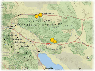
This example shows a feature collection as an operational layer. This particular layer displays oases in and around Joshua Tree National Park and was created by dragging and dropping a CSV file onto Map Viewer Classic. All the geometry and attributes of the features are stored in the web map. Pop-up information is also associated with this feature collection.
