ArcGIS Developers
Menu
Documentation
Features
Pricing
Support
Search
Search
Sign In
Documentation
Mapping APIs and location services
Introduction
Get started
Tutorials
Services
APIs
Maps
Introduction
Maps (2D)
Scenes (3D)
Basemap layers
Data layers
Graphics
Tutorials
APIs
Display a map
Change the basemap layer
Display a custom basemap style
Add a point, line, and polygon
Add a feature layer
Add a vector tile layer
Add an image tile layer
Display a pop-up
Display a web map
Display a scene (3D)
Display a web scene (3D)
Tools
Create a web map
Create a web scene
Services
Basemap layer service
Data
Introduction
Data hosting
Data publishing
Data management
Hosted feature layers
Hosted vector tile layers
Hosted image tile layers
Tutorials
APIs
Add a feature layer
Add a vector tile layer
Add an image tile layer
Query a feature layer (SQL)
Query a feature layer (spatial)
Style a feature layer
Display a pop-up
Edit feature data
Tools
Import data as a feature layer
Create a new feature layer
Publish a vector tile layer
Access feature layer data
Manage a feature layer
Services
Feature service
Vector tile service
Image tile service
Visualization
Introduction
Basemap styles
Point, line, and polygon styles
Data-driven visualization
Introduction
Unique types
Class breaks
Visual Variables
Time
Multivariate
Predominance
Dot density
Relationship
3D visualization
Introduction
Globes and local scenes
Terrain rendering
Cities in 3D
Tutorials
APIs
Display a custom basemap style
Style a feature layer
Tools
Create a custom basemap style
Style layers in a web map
Style layers in a web scene
Services
Feature service
Search
Introduction
Geocoding
Place search
Autosuggest
Reverse geocoding
Batch geocoding
Tutorials
Search for an address
Find places
Reverse geocode
Services
Geocoding service
Routing
Introduction
Routing
Fleet routing
Closest facility routing
Service areas
Travel cost matrix
Location-allocation
Tutorials
Find a route and directions
Find service areas
Services
Routing service
Demographics
Introduction
GeoEnrichment
Tutorials
Query demographic data
Tools
Data browser
Services
GeoEnrichment service
Offline
Introduction
How to build offline applications
Introduction
Use web maps or mobile packages
Use data services or files
Selecting the best approach
Offline maps
Introduction
Working with offline maps
Optimize an offline map
Preplanned vs on-demand
Scheduled updates
Offline data
Editing offline data
Mobile packages
Data files
Spatial analysis
Tutorials
APIs
Display an offline map (custom area)
Display a map from a mobile map package
Tools
Create a mobile map package
Tools
Overview
Developer dashboard
ArcGIS Online
Map Viewer
Scene Viewer
Vector Tile Style Editor
ArcGIS Pro
Licensing
License location services
License your app
Attribution
Security
Reference
Glossary
Navigation Menu
Query a feature layer (SQL)
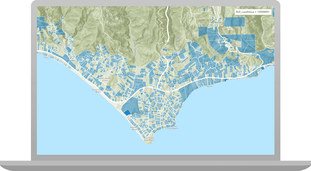
Learn how to execute a SQL query to access polygon
features
from a
feature layer
.
Web APIs
ArcGIS JS API
Esri Leaflet
Mapbox GL JS
OpenLayers
Rest APIs and Scripting
ArcGIS REST JS
Previous
Add an image tile layer
Next
Query a feature layer (spatial)
Query a feature layer (SQL)
Web APIs
Rest APIs and Scripting
Show table of contents
Query a feature layer (SQL)
Web APIs
Rest APIs and Scripting
Was this page helpful?
Yes
No
Query a feature layer (SQL)
Web APIs
Rest APIs and Scripting
Show table of contents
Query a feature layer (SQL)
Web APIs
Rest APIs and Scripting
Was this page helpful?
Yes
No
Was this page helpful?
Yes
No