You can use the ArcGIS Maps SDKs for Native Apps to build offline applications. Offline applications run natively on phones, tablets, laptops, or desktop computers, and work where network connectivity is unreliable or unavailable. The data for offline applications can be packaged using desktop tools or online data management tools, and then accessed in ArcGIS or sideloaded to the device. You can build many different types of applications to display interactive maps and scenes and perform operations such as geocoding, routing, navigation, editing, and spatial analysis. To learn how to build these applications, go to the Topics below.
Topics
How to build offline applications
Learn about ArcGIS technologies available to build offline applications.
Offline maps
Learn how to create, view, and edit an offline map from a web map.
Offline data
Learn how to create, view, and edit offline data from a data service.
Editing offline data
Learn how to edit and synchronize offline data with a feature service.
Mobile packages
Learn how to view maps and scenes using mobile packages.
Data files
Learn how to view and edit data using data files stored on a device.
Spatial analysis
Learn how to perform on-device spatial analysis, including geocoding and routing.
Tutorials

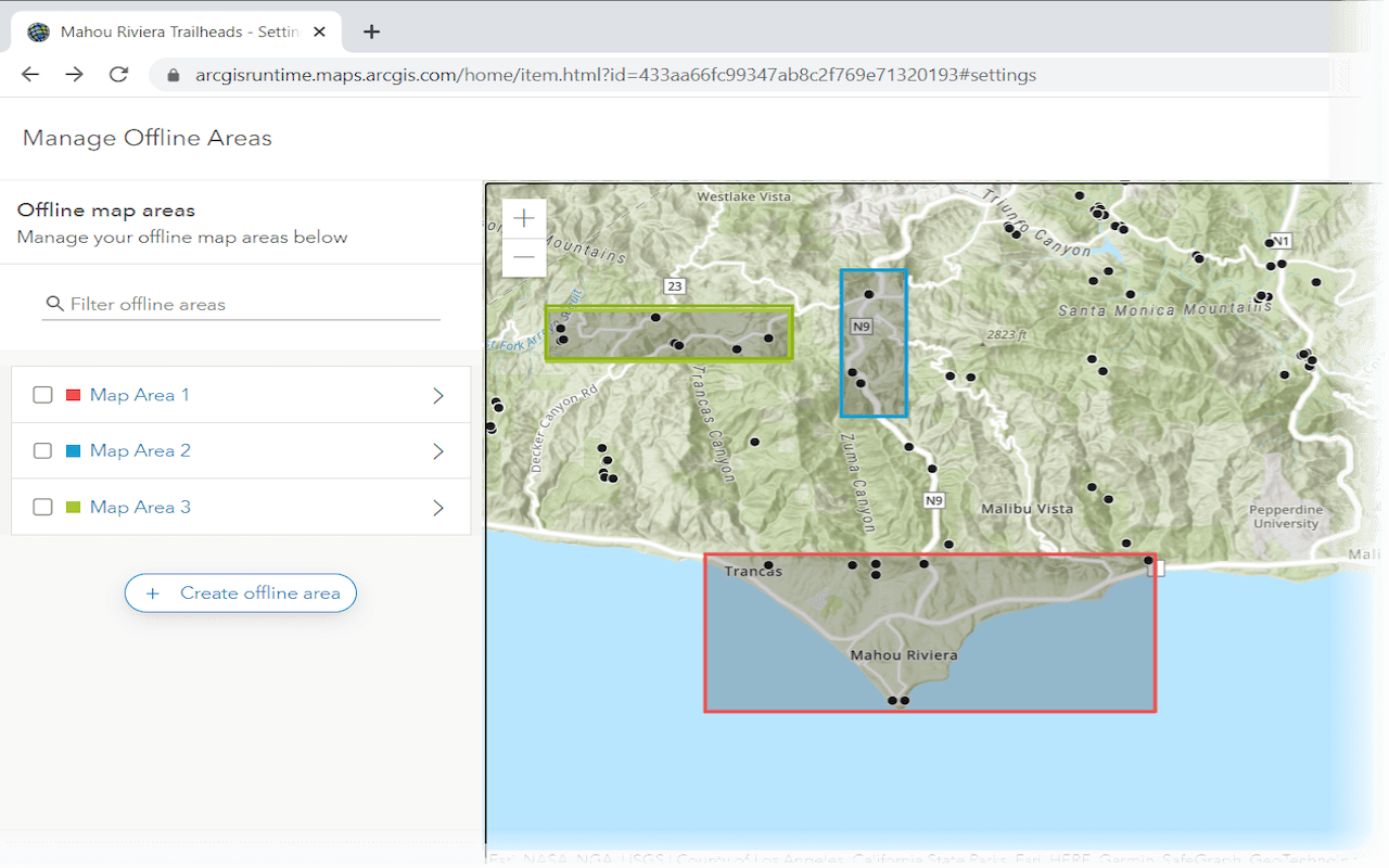
Create an offline map area
Use ArcGIS Online to create an offline map area that can be downloaded by any number of users.

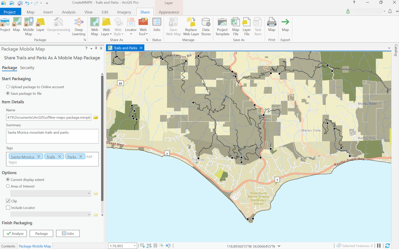
Create a mobile map package
Use ArcGIS Pro to create a mobile map package.

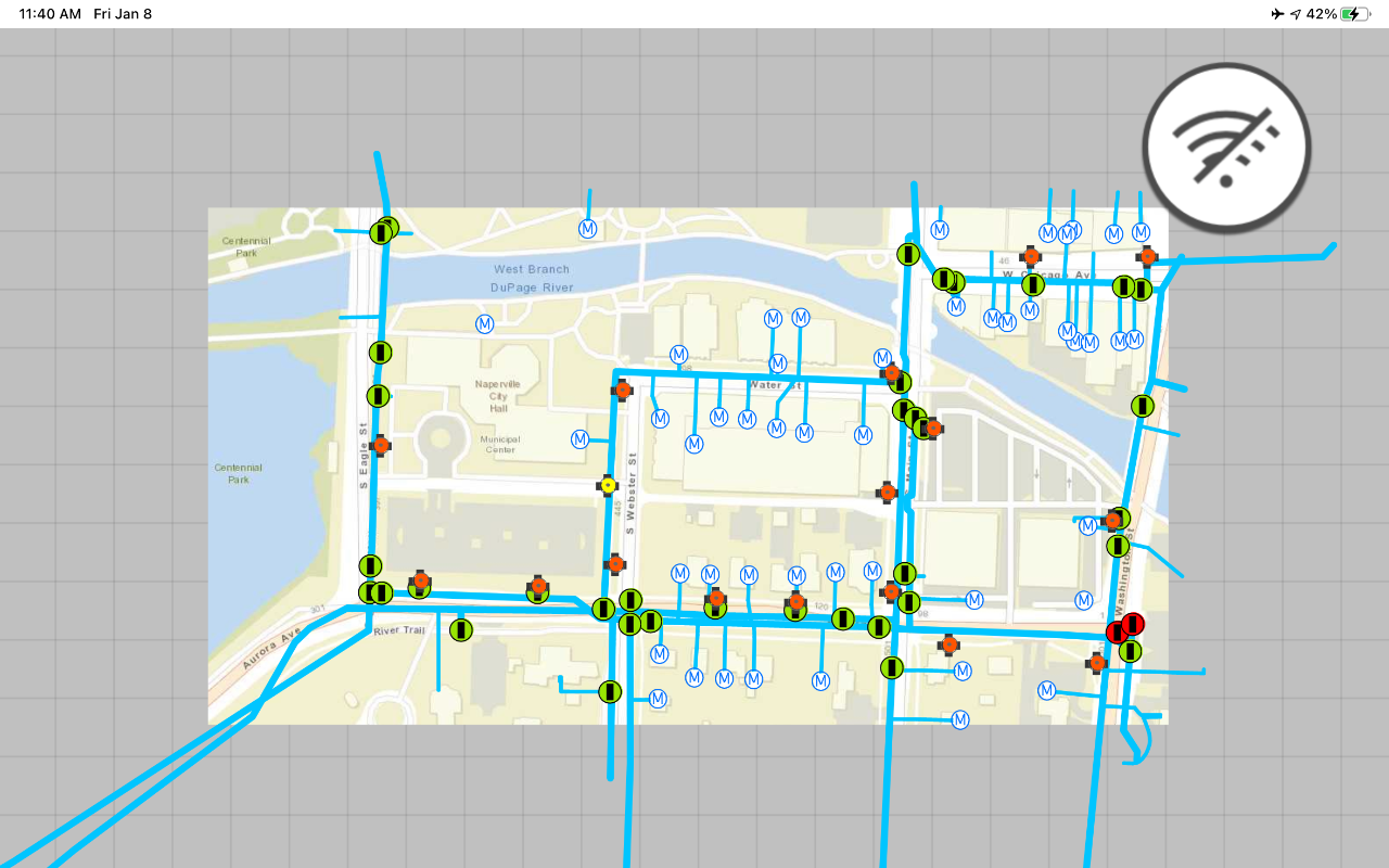
Display an offline map on demand
Download and display an offline map for a custom area of a web map stored in ArcGIS.

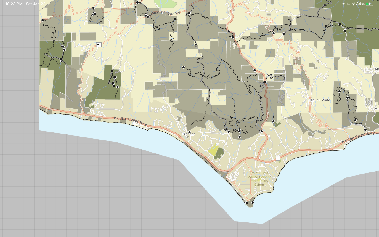
Display a map from a mobile map package
Access and display a map from a mobile map package for offline use.
API support
- 1. Geometry engine
- 2. Manage offline map areas