Description
An abstract representation of geographic entities on a map.
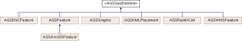
This protocol represents abstract geographic entities on a map. Conforming classes provide concrete implementations such as graphics in a graphics overlay, features in a layer, etc.
A geo-element can contain a set of attributes (key-value pairs) providing more information about the real-world entity it represents. Attribute types supported are NSNull, NSString, NSDate, and NSNumber. All other attribute types will be ignored. A geo-element can also have a geometry which describes the location and the shape of the entity.
- Since
- 100
Properties | |
| NSMutableDictionary< NSString *, id > * | attributes |
| AGSGeometry * | geometry |
Property Documentation
◆ attributes
|
readrequirednonatomicstrong |
A dictionary containing all the attributes. Attribute types supported are NSNull, NSString, NSDate, and NSNumber. Other attribute types will be ignored.
- Since
- 100
◆ geometry
|
readwritenonatomicstrong |
The geometry that defines shape and location.
- Since
- 100