Get experience with the latest version of ArcGIS Runtime API for .NET using the samples, which illustrate the variety of mapping and GIS capabilities you can add to your own applications.
Samples in GitHub
The code samples described on this page are also available on GitHub (choose the main branch). With a free GitHub account, you can:
- Keep a local repository (or 'repo') of the samples and sync whenever you see that updates have been made.
- Subscribe to the repo get notified of updates (merges to
main) or you can check the repo for updates at your convenience. - Subscribe to activity at the issue level.
- Suggest changes via pull requests and the ArcGIS Runtime .NET team will merge the changes they like after a full review and testing phase.
New to GitHub
GitHub is a web-based hosting service for software development projects that uses an open source revision control system called Git. For an introduction to Git and how it compares with other version control systems, see Git basics. To learn how to interact with Git repositories with GitHub and to sign up for a free account, visit github.com.
Sample Viewer application
A compiled Windows desktop (WPF) version of the sample viewer is available on the Microsoft Store. Before running the application, please refer to the system requirements to ensure your machine can run the sample viewer application properly.
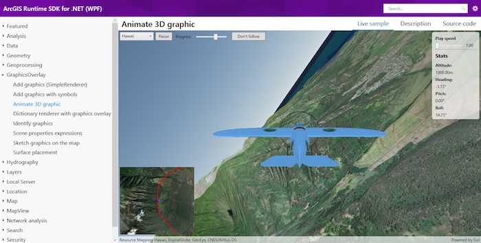
The ArcGIS Runtime SDK for .NET WPF sample viewer illustrates the functionality available using ArcGIS Runtime SDK for .NET in your WPF applications. Each sample page consists of a live sample, a brief description, and source code tabs (showing both XAML and C# code). If you find functionality that's useful for your app while running the sample viewer, you can copy and paste relevant code into your project and update it as needed.
Code samples documentation
To use the samples on this page (on this SDK website), select a category on the left and click a sample title to view or copy the full sample's code or to view the sample's description. Use the platform switcher at the top of the page to view code specific to your platform (WPF, UWP, Android, iOS, or Xamarin Forms). You can copy and paste the code directly into your project or click the View in GitHub button at the top of each sample page to navigate directly to the sample in GitHub.