Load a raster from a service, then apply a function to it.
Use case
Raster functions allow processing operations that can be applied to one or more rasters on the fly. Functions can be applied to rasters that come from a service. A land survey agency may apply hillshade and aspect functions to rasters with elevation data in order to better determine the topography of a landscape and to make further planning decisions.
How to use the sample
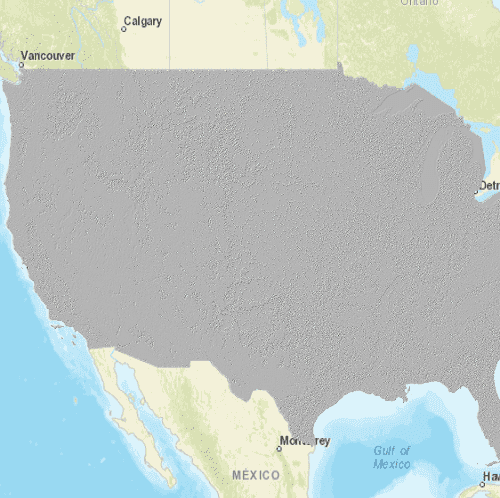
The raster function is applied automatically when the sample starts and the result is displayed.
How it works
- Create the
ImageServiceRasterreferring to the image server URL. - Create the
RasterFunctionfrom a JSON string. - Set the raster argument with
rasterFunction.setRaster(rasterName, imageServiceRaster). - Create a new
Rasterreferring to the raster function. - Create a
RasterLayerto visualize the computed raster. - Display the raster.
Relevant API
- ImageServiceRaster
- Raster
- RasterFunction
- RasterFunctionArguments
- RasterLayer
About the data
The sample applies a hillshade function to a raster produced from the National Land Cover Database, NLCDLandCover2001. You can learn more about the hillshade function in the ArcMap documentation.
Additional information
The raster function computation happens locally on the client device.
Tags
function, layer, raster, raster function, service
Sample Code
// [WriteFile Name=RasterFunctionService, Category=Layers]
// [Legal]
// Copyright 2017 Esri.
// Licensed under the Apache License, Version 2.0 (the "License");
// you may not use this file except in compliance with the License.
// You may obtain a copy of the License at
// http://www.apache.org/licenses/LICENSE-2.0
// Unless required by applicable law or agreed to in writing, software
// distributed under the License is distributed on an "AS IS" BASIS,
// WITHOUT WARRANTIES OR CONDITIONS OF ANY KIND, either express or implied.
// See the License for the specific language governing permissions and
// limitations under the License.
// [Legal]
import QtQuick
import QtQuick.Controls
import Esri.ArcGISRuntime
import Esri.ArcGISExtras
Rectangle {
id: rootRectangle
clip: true
width: 800
height: 600
readonly property url dataPath: {
Qt.platform.os === "ios" ?
System.writableLocationUrl(System.StandardPathsDocumentsLocation) + "/ArcGIS/Runtime/Data/raster/" :
System.writableLocationUrl(System.StandardPathsHomeLocation) + "/ArcGIS/Runtime/Data/raster/"
}
MapView {
id: mapView
anchors.fill: parent
Component.onCompleted: {
// Set the focus on MapView to initially enable keyboard navigation
forceActiveFocus();
}
Map {
// create a basemap from a tiled layer and add to the map
Basemap {
initStyle: Enums.BasemapStyleArcGISStreets
}
// create and add a raster layer to the map
RasterLayer {
// create the raster layer from an image service raster
ImageServiceRaster {
id: imageServiceRaster
url: "https://sampleserver6.arcgisonline.com/arcgis/rest/services/NLCDLandCover2001/ImageServer"
// zoom to the extent of the raster once it's loaded
onLoadStatusChanged: {
if (loadStatus === Enums.LoadStatusLoaded) {
const scale = 50000000;
mapView.setViewpointCenterAndScale(imageServiceRaster.serviceInfo.fullExtent.center, scale);
}
}
}
}
}
}
// Create a button to apply the raster function
Rectangle {
id: button
property bool pressed: false
anchors {
right: parent.right
bottom: parent.bottom
rightMargin: 20
bottomMargin: 40
}
width: 45
height: width
color: pressed ? "#959595" : "#D6D6D6"
radius: 100
border {
color: "#585858"
width: 1
}
Image {
anchors {
centerIn: parent
}
width: 26
height: width
source: "qrc:/Samples/Layers/RasterFunctionService/RasterImageAnalysisHillshade.png"
}
MouseArea {
anchors.fill: parent
onPressed: button.pressed = true
onReleased: button.pressed = false
onClicked: applyRasterFunction()
}
}
function applyRasterFunction() {
if (!hillShadeJson.exists) {
console.log("JSON file for the raster function does not exist");
return;
}
//! [ImageServiceRaster Apply a raster function]
// create raster function
const rasterFunction = ArcGISRuntimeEnvironment.createObject("RasterFunction", {path: dataPath + "/hillshade_simplified.json"});
// get the arguments
const rasterFunctionArguments = rasterFunction.arguments;
// set the raster
rasterFunctionArguments.setRaster("raster", imageServiceRaster);
// create the raster from the raster function
const raster = ArcGISRuntimeEnvironment.createObject("Raster", { rasterFunction: rasterFunction });
// create raster layer from raster
const rasterLayer = ArcGISRuntimeEnvironment.createObject("RasterLayer", { raster: raster });
//! [ImageServiceRaster Apply a raster function]
// add raster to map
mapView.map.operationalLayers.clear();
//! [ImageServiceRaster qml add raster operational]
mapView.map.operationalLayers.append(rasterLayer);
//! [ImageServiceRaster qml add raster operational]
}
FileInfo {
id: hillShadeJson
url: dataPath + "/hillshade_simplified.json"
}
}