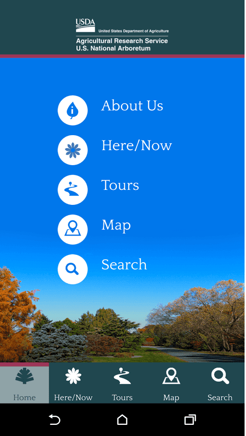
The U.S. National Arboretum mobile application provides an interactive map and quick guide to the exhibits, tours, and visitor services offered at the Arboretum. Users can search for information about collections, dedications, and plants at the Arboretum.
Key features
ArcGIS Maps SDK
Use ArcGIS Maps SDK for Qt to quickly build native apps for Android, iOS, Windows, OS X, and Linux.
Identify locations
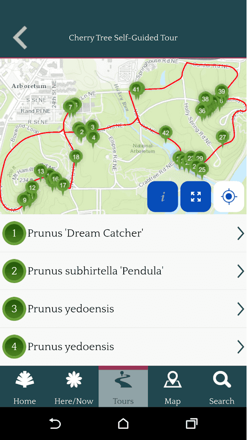
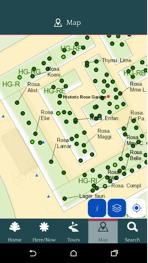
Query the map to quickly identify features and answer the question, "what is this item here?" Easily explore and learn about map contents.
Edit features
Show your device location in proximity to Arboretum points of interest and features near you.
App details
The U.S. National Arboretum mobile app was designed to help guests navigate the vast grounds of the Arboretum via a digital map. A search feature will allow visitors to explore the collections and other features, learn about available visitor services, and locate a memorial bench or tree with greater ease. Tours, exhibits, events and gardens are programmed into the app to let visitors know in “real time” what they can see during their visit.
Supported by both the iOS and Android platforms, the app will complement the existing signage and other ways of navigating the Arboretum's many gardens and other features.
Learn more
- Education
- ArcGIS Maps SDK for Qt
- Build cross-platform ArcGIS apps quickly and easily with ArcGIS AppStudio, powered by ArcGIS Maps SDK for Qt.
- Identify features
- Show Device Location