Get experience with the latest version of ArcGIS Maps SDK for Qt using the samples, which illustrate the variety of mapping and GIS capabilities you can add to your own applications.
Samples in GitHub
The code samples described on this page are also available on GitHub. With a free GitHub account, you can:
- Keep a local repository (or 'repo') of the samples and sync whenever you see that updates have been made.
- Subscribe to the repo get notified of updates or you can check the repo for updates at your convenience.
- Subscribe to activity at the issue level.
- Suggest changes via pull requests and the ArcGIS Maps SDK for Qt team will merge the changes they like after a full review and testing phase.
You can download each sample as an individual Qt Creator project.
New to GitHub
GitHub is a web-based hosting service for software development projects that uses an open source revision control system called Git. For an introduction to Git and how it compares with other version control systems, see Git basics. To learn how to interact with Git repositories with GitHub and to sign up for a free account, visit github.com.
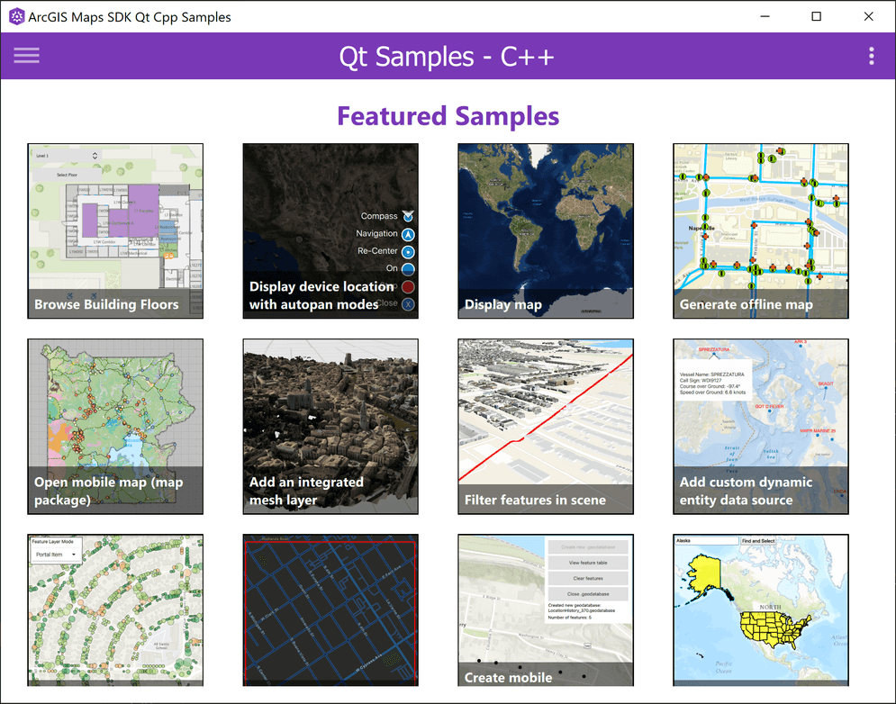
Sample Viewer application
The code samples accessible from this page are also available in a samples viewer application downloadable from ArcGIS Online. There you will find viewers that run on the various platforms supported by the API.
Code samples documentation
To use the samples on this page, select a category on the left and click a sample title to view or copy the full sample's code or to view the sample's description. Use the platform switcher at the top of the page to view code specific to your programming language (C++ or QML). You can copy and paste the code directly into your project or click the View in GitHub button at the top of each sample page to navigate directly to the sample in GitHub.
Qt Toolkit
The open source ArcGIS Maps SDK for Qt Toolkit contains UI components and utilities that will help simplify your Qt app development.