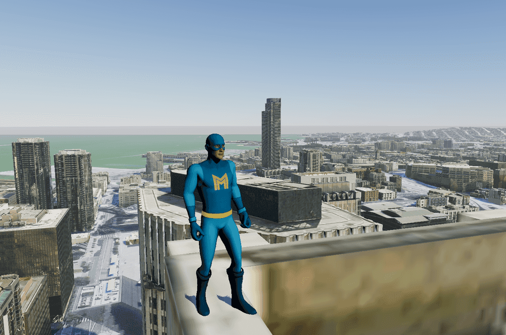
Explore from the perspective of a third person camera following a controllable character.
How to use the sample
- Open the ThirdPerson level.
- Click on ArcGISMap
- Set your API key under the Authentication section.
- Click play and move the character by using the WASD keys. Jump with the space key.
How it works
This samples makes use of Unity's Starter Assets - Third Person Character Controller.
- Set up the ArcGIS Map for the exploration area.
- Create a Third Person Character with its control and attach to ArcGIS Map.
- Add the Third Person Character to the level.
- Mesh colliders need to be enabled in the ArcGIS Map.
- If you want to place the character on a specific location, attach the ArcGIS Location Component to specify it.
- The Third Person Character provided in this sample detects the terrain mesh collider before it lands on the ground.
About the data
Building models for San Francisco are loaded from a 3D object scene layer hosted by Esri.
Elevation data is loaded from the Terrain 3D elevation layer hosted by Esri.
Tags
3rd person, camera, controller, exploration, follow, platformer, third person perspective, third person controller