What is a find centroid analysis?
A find centroid analysis is the process of finding the representative centers of each multipoint, polyline, or polygon feature. To execute the analysis, use the spatial analysis service and the Find operation.

Real-world examples of this analysis include the following:
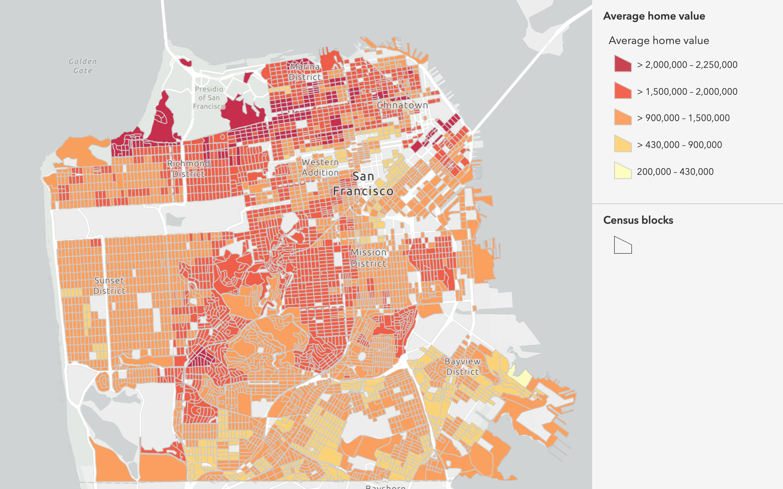
- Preparing home or spending values for analyses that require point data.
- Finding the representative centers of parcels.
- Finding the representative centers for open spaces.
How to find centroids
The general steps to find centroids are as follows:
- Review the parameters for the
Findoperation.Centroids - Send a request to get the spatial analysis service URL.
- Execute a job request with the following URL and parameters:
- URL:
https://< YOUR_ ANALYSIS_ SERVICE>/arcgis/rest/services/tasks/GPServer/Find Centroids/submit Job - Parameters:
input: Your points dataset as a hosted feature layer or feature collection.Layer point: Whether the output point locations are calculated by the geometric center of each input feature.Location output: A string representing the name of the hosted feature layer to reutrn with the results.Name
- URL:
- Check the status.
- Get the output layer results.
To see examples using ArcGIS API for Python, ArcGIS REST JS, and the ArcGIS REST API, go to Examples below.
URL request
http://<YOUR_ANALYSIS_SERVICE>/arcgis/rest/services/tasks/GPServer/FindCentroids/submitJob?<parameters>Required parameters
| Name | Description | Examples |
|---|---|---|
f | The format of the data returned. | f=json f=pjson |
token | An OAuth 2.0 access token. Learn how to get an access token in Security and authentication. | token=< |
input | The multipoint, line, or polygon features that will be used to generate centroid point features. | {"url":"https: |
Key parameters
| Name | Description | Examples |
|---|---|---|
point | Output points are determined by the calculated geometric center of each input feature. If set to true the points will be contained by the bounds of the input feature. | false (default) |
output | A string representing the name of the hosted feature layer to return with the results. NOTE: If you do not include this parameter, the results are returned as a feature collection (JSON). | {"service |
context | A bounding box or output spatial reference for the analysis. | "extent":{"xmin: |
Code examples
Find centroids within square bins
This example uses the Find operation to generate points within square bins. The input value is the Generate tessellations in Portland hosted feature layer. The feature layer was created using the Generate operation. To learn how to generate square bins, go to generate tessellations.
APIs
inputLayer = {
"url": "https://services3.arcgis.com/GVgbJbqm8hXASVYi/arcgis/rest/services/Generate_tessellations_on_Portland_boundary/FeatureServer/0"
}
results = find_centroids(
input_layer=inputLayer,
point_location=False,
#Outputs results as a hosted feature layer.
output_name=f"Find centroids results"
)
result_features = results.layers[0].query()
print(
f"The find centroids layer has {len(result_features.features)} new records"
)Service requests
Request
POST arcgis.com/sharing/rest/portals/self HTTP/1.1
Content-Type: application/x-www-form-urlencoded
&f=json
&token=<ACCESS_TOKEN>Response (JSON)
{
"helperServices": {
// Other parameters
"analysis": {
"url": "https://<YOUR_ANALYSIS_SERVICE>/arcgis/rest/services/tasks/GPServer"
},
"geoenrichment": {
"url": "https://geoenrich.arcgis.com/arcgis/rest/services/World/GeoenrichmentServer"
}
}
}Request
POST <YOUR_ANALYSIS_SERVICE>/arcgis/rest/services/tasks/GPServer/FindCentroids/submitJob HTTP/1.1
Content-Type: application/x-www-form-urlencoded
&f=json
&token=<ACCESS_TOKEN>
&inputLayer={"url":"https://services3.arcgis.com/GVgbJbqm8hXASVYi/arcgis/rest/services/Generate_tessellations_on_Portland_boundary/FeatureServer/0"}
&pointLocation=false
&outputName={"serviceProperties":{"name":"Find centroids"}}
&context={}
Response (JSON)
{
"jobId": "<JOB_ID>",
"jobStatus": "esriJobSubmitted",
"results": {},
"inputs": {},
"messages": []
}
Request
POST <YOUR_ANALYSIS_SERVICE>/arcgis/rest/services/tasks/GPServer/FindCentroids/jobs/<JOB_ID> HTTP/1.1
Content-Type: application/x-www-form-urlencoded
&f=json
&token=<ACCESS_TOKEN>
Response (JSON)
// Executing job
{
"jobId": "<JOB_ID>",
"jobStatus": "esriJobExecuting",
"results": {},
"inputs": {},
"messages": []
}
// Job succeeded
{
"jobId": "<JOB_ID>",
"jobStatus": "esriJobSucceeded",
"results": {
"outputLayer": {
"paramUrl": "results/outputLayer"
},
},
"inputs": {},
"messages": []
}
Request
POST <YOUR_ANALYSIS_SERVICE>/arcgis/rest/services/tasks/GPServer/FindCentroids/jobs/<JOB_ID>/results/outputLayer HTTP/1.1
Content-Type: application/x-www-form-urlencoded
&f=json
&returnType=data
&token=<ACCESS_TOKEN>Response (JSON)
{
"paramName": "outputLayer",
"dataType": "GPString",
"value": {
"url": "<SERVICE_URL>",
"itemId": "<ITEM_ID>"
}
}Find centroids for census blocks
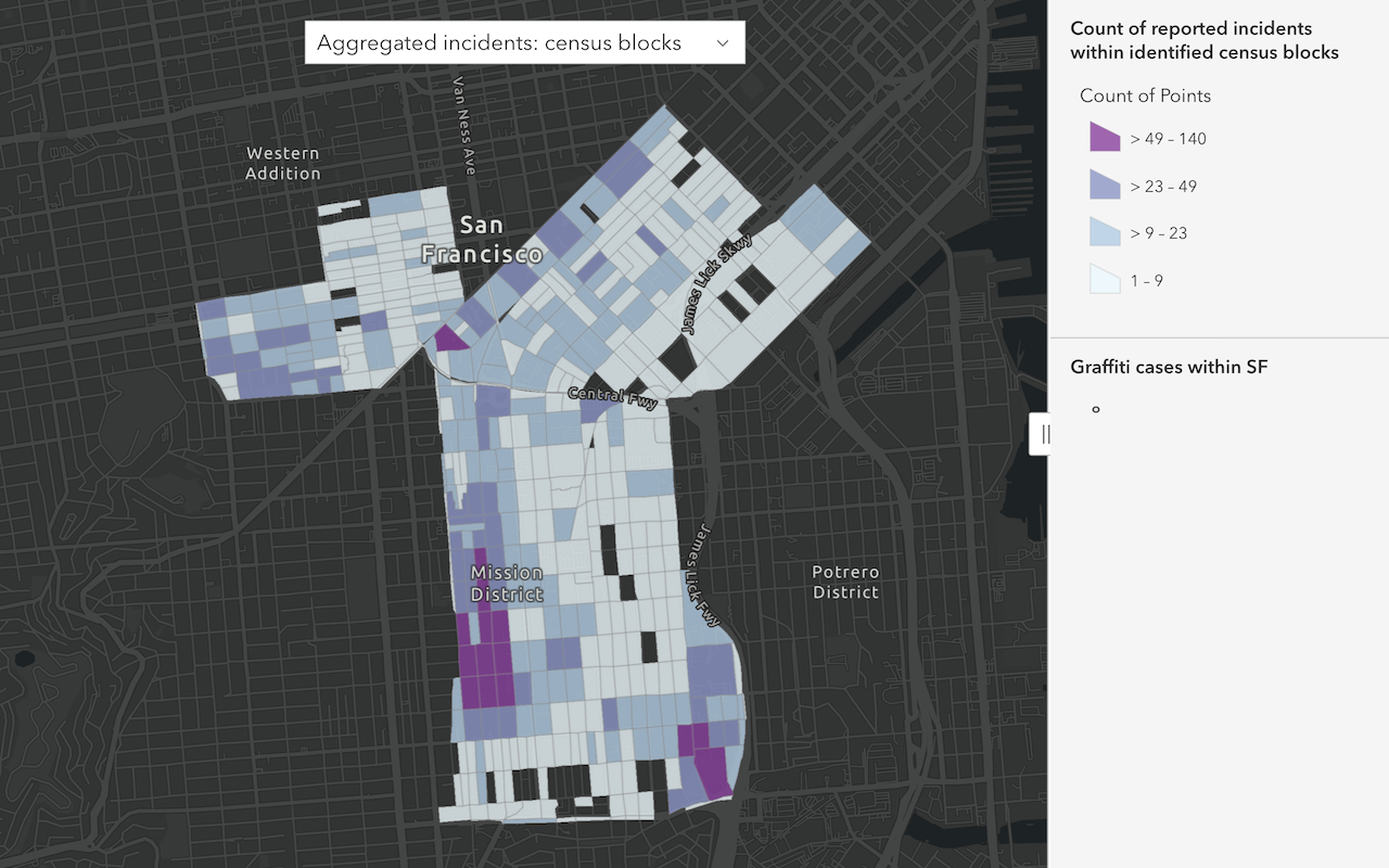
This example uses the Find operation to generate points that represent census blocks. The input value is the Census blocks in SF hosted feature layer.
APIs
inputLayer = "https://services3.arcgis.com/GVgbJbqm8hXASVYi/ArcGIS/rest/services/Intersect_of_U_S__Census_Blocks_and_SF_Neighborhoods/FeatureServer/0"
results = find_centroids(
input_layer=inputLayer,
point_location=False,
#Outputs results as a hosted feature layer.
output_name=f"Find centroids results"
)
result_features = results.layers[0].query()
print(
f"The find centroids layer has {len(result_features.features)} new records"
)Service requests
Request
POST arcgis.com/sharing/rest/portals/self HTTP/1.1
Content-Type: application/x-www-form-urlencoded
&f=json
&token=<ACCESS_TOKEN>Response (JSON)
{
"helperServices": {
// Other parameters
"analysis": {
"url": "https://<YOUR_ANALYSIS_SERVICE>/arcgis/rest/services/tasks/GPServer"
},
"geoenrichment": {
"url": "https://geoenrich.arcgis.com/arcgis/rest/services/World/GeoenrichmentServer"
}
}
}Request
POST <YOUR_ANALYSIS_SERVICE>/arcgis/rest/services/tasks/GPServer/FindCentroids/submitJob HTTP/1.1
Content-Type: application/x-www-form-urlencoded
&f=json
&token=<ACCESS_TOKEN>
&inputLayer={"url":"https://services3.arcgis.com/GVgbJbqm8hXASVYi/ArcGIS/rest/services/Intersect_of_U_S__Census_Blocks_and_SF_Neighborhoods/FeatureServer/0"}
&pointLocation=false
&outputName={"serviceProperties":{"name":"Find centroids results"}}
&context={}
Response (JSON)
{
"jobId": "<JOB_ID>",
"jobStatus": "esriJobSubmitted",
"results": {},
"inputs": {},
"messages": []
}
Request
POST <YOUR_ANALYSIS_SERVICE>/arcgis/rest/services/tasks/GPServer/FindCentroids/jobs/<JOB_ID> HTTP/1.1
Content-Type: application/x-www-form-urlencoded
&f=json
&token=<ACCESS_TOKEN>
Response (JSON)
// Executing job
{
"jobId": "<JOB_ID>",
"jobStatus": "esriJobExecuting",
"results": {},
"inputs": {},
"messages": []
}
// Job succeeded
{
"jobId": "<JOB_ID>",
"jobStatus": "esriJobSucceeded",
"results": {
"outputLayer": {
"paramUrl": "results/outputLayer"
},
},
"inputs": {},
"messages": []
}
Request
POST <YOUR_ANALYSIS_SERVICE>/arcgis/rest/services/tasks/GPServer/FindCentroids/jobs/<JOB_ID>/results/outputLayer HTTP/1.1
Content-Type: application/x-www-form-urlencoded
&f=json
&returnType=data
&token=<ACCESS_TOKEN>Response (JSON)
{
"paramName": "outputLayer",
"dataType": "GPString",
"value": {
"url": "<SERVICE_URL>",
"itemId": "<ITEM_ID>"
}
}Tutorials
Learn how to perform related analyses interactively with Map Viewer and programmatically with ArcGIS API for Python, ArcGIS REST JS, and ArcGIS REST API.
Find data sources
Discover data in ArcGIS that you can use for feature analysis.
Create data sources
Import, create, and generate data for feature analysis.
Enrich data sources
Enrich data with demographic information and local business facts using the spatial analysis service.
Find and extract data
Find data with attribute and spatial queries using find analysis operations.
Combine data
Overlay, join, and dissolve features using combine analysis operations.
Summarize data
Aggregate and summarize features using summarize analysis operations.
Discover patterns in data
Find patterns and trends in data using spatial analysis operations.
Services
Spatial analysis service
Process spatial datasets to discover relationships and patterns.
API support
- 1. Access with geoprocessing task
- 2. Access via ArcGIS REST JS