To store and manage content in the cloud for your applications, you can use the portal. You can store geospatial content, such as maps, scenes, layers, and services, application configurations for templates and builders, and files, such as Microsoft Word and PDF documents. You can access the portal with interactive tools, such as ArcGIS Online and the developer dashboard, or build custom applications that access the portal service. Once content is stored in the portal, you can also build content-driven applications that easily access and display maps, scenes, and data from services. All content is secure and can be private, shared publicly, or shared with specific groups of users. Learn how to perform these oprations in the topics below.
Topics
Get started
Learn how to build applications with the portal service.
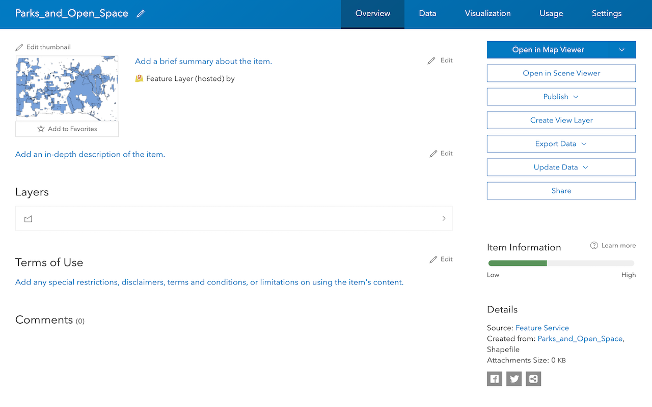
Manage items
Create, manage, and access different types of content in the portal.
Item search
Query and search for items in the portal.
Manage users
Find and manage users in the portal.
Manage groups
Find and manage groups in the portal.
Tutorials
Use tools to create different types of content and build content-driven applications.
Web maps
Create a web map
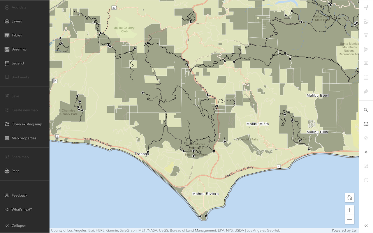
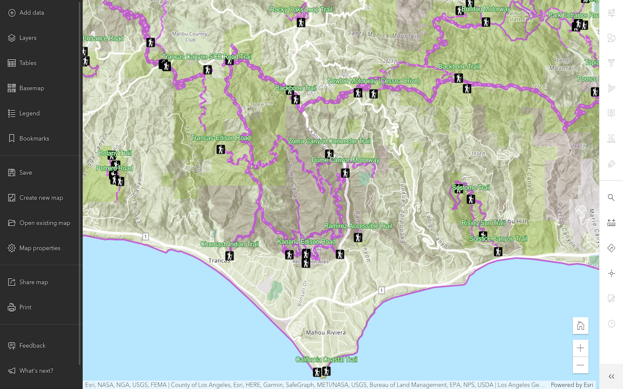
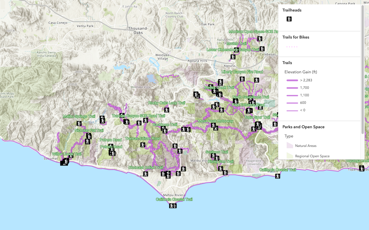
Use Map Viewer to create a web map for your application.
Style layers in a web map
Use Map Viewer to style layers in a web map.
Display a web map
Create and display a map from a web map.
Web scenes
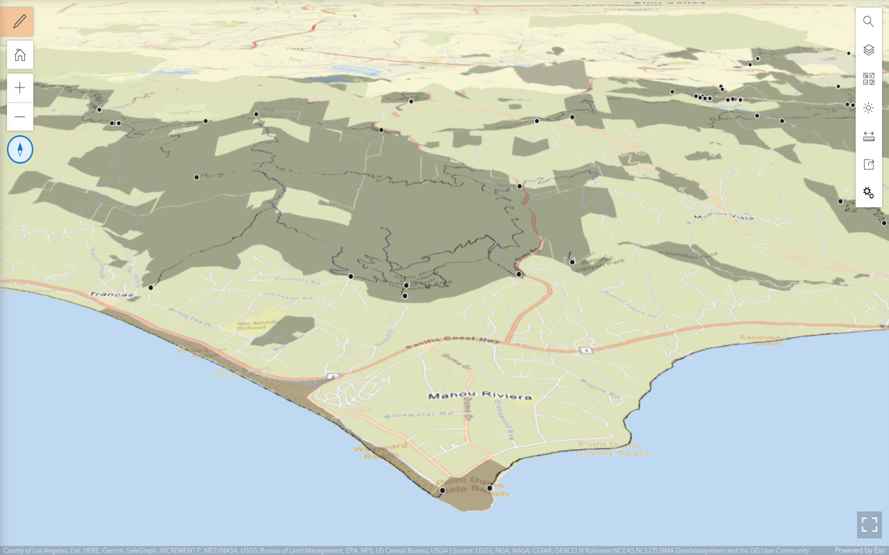
Create a web scene
Use Scene Viewer to create a web scene for your application.
Style layers in a web scene
Use Scene Viewer to style layers in a web scene.
Display a web scene
Create and display a scene from a web scene.
Feature layers

Import data to create a feature layer
Use data management tools to import files and create a feature layer in a feature service.
Manage a feature layer
Use a hosted feature layer item to set the properties and settings of a feature layer in a feature service.
Add a feature layer
Access and display point, line, and polygon features from a feature service.
Vector tile layers

Create a vector tile service
Use data management tools to create a new vector tile service from a feature service.

Add a vector tile layer
Access and display a vector tile layer in a map.
Basemap layers
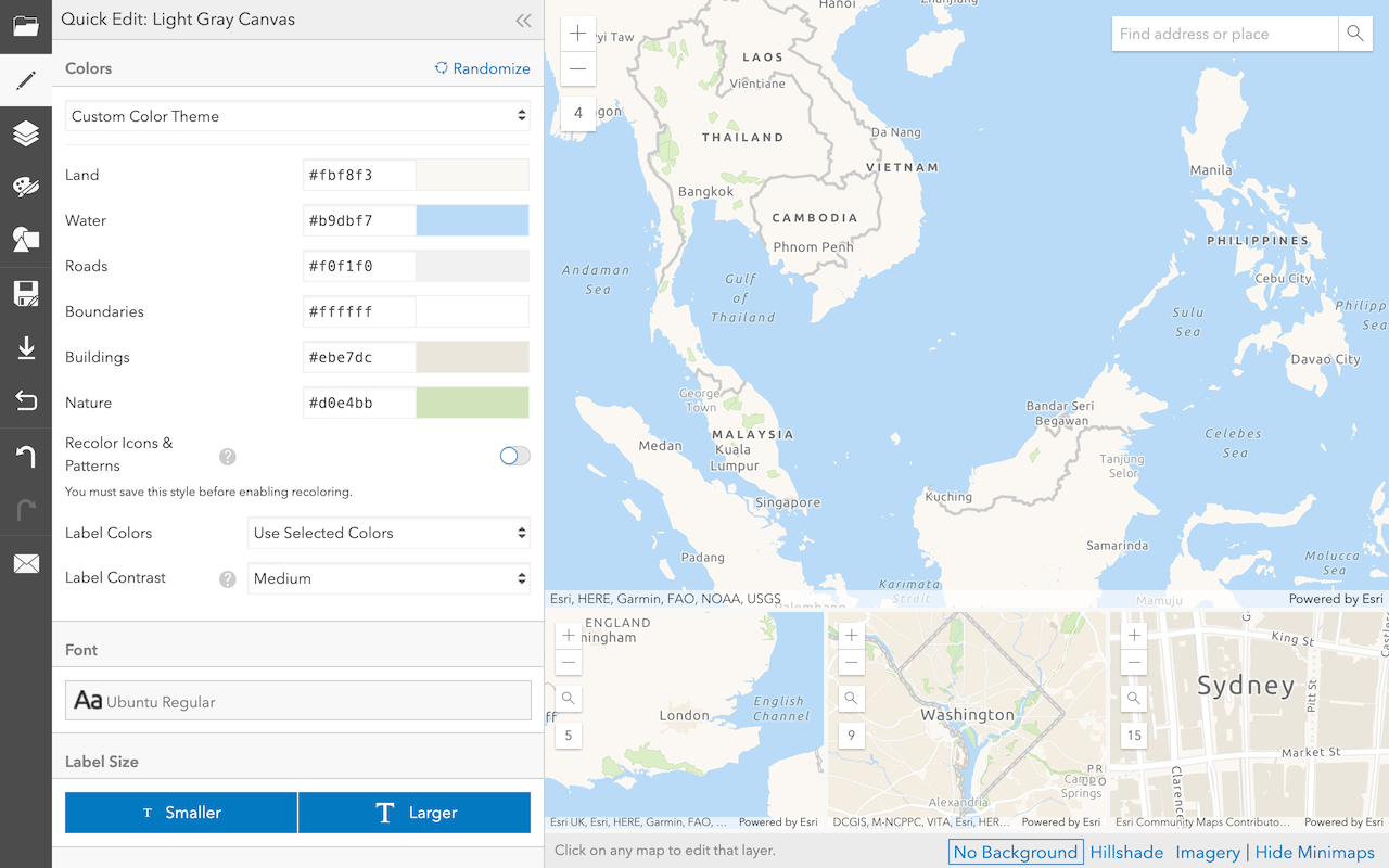
Create a custom basemap style
Use the Vector tile style editor to style a vector tile basemap layer.
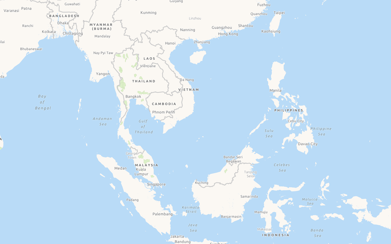
Display a custom basemap style
Add and display a styled vector tile basemap layer.
Services
Portal service
Store, manage, and access private and public content.
API support
- 1. Limited operations, use HTTP requests.
- 2. Access via ArcGIS REST JS.
Tools
Use tools to access the portal and create and manage content for applications.
Developer dashboard
Manage API keys, service usage, and data with the ArcGIS Developers website.
ArcGIS.com
Create, manage, and share content and data with GIS tools.
ArcGIS Enterprise
Create, manage, analyze, and share data, maps, and applications in your organization.
Map Viewer
Create, explore, and share web maps for 2D applications.
Scene Viewer
Create, explore, and share web scenes for 3D applications.
Vector tile style editor
Style vector tile basemap layers for applications.
ArcGIS Pro
Explore, visualize, and analyze both 2D and 3D data with desktop GIS tools.