Creating and publishing a vector tile service is the process of using data management tools to create a new vector tile service from existing data. Vector tile services can be created from an existing hosted feature layer in ArcGIS.com or by uploading a vector tile package file (.vtpk) created with ArcGIS Pro.
How to create vector tile services with ArcGIS.com
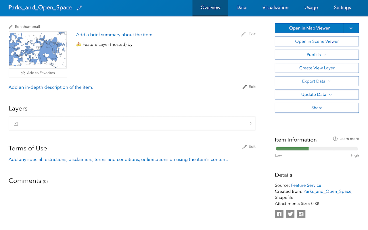
You can use ArcGIS.com to create a new hosted vector tile layer (item) and vector tile service when you have an existing hosted feature layer. The resulting vector tile service maintains a relationship with the source feature layer. When the source features change, you can rebuild the vector tile cache to synchronize the updates with the vector tile service.
Use this method when you want to:
- Publish tiles from an single hosted feature layer.
- Synchronize tiles with the source feature layer.
- Manage the tile scales.
- Manage visible range.
- Rebuild tiles on demand.
- Use the default indexed tiling format.
The general steps to publish a vector tile service in ArcGIS Online are:
- Go to ArcGIS.com or your ArcGIS Enterprise portal.
- Click > Content, click an existing feature layer, and then click Publish > Vector tile layer.
How to create vector tile services with ArcGIS Pro
You can use ArcGIS Pro to create a vector tile package using your local infrastructure and then upload it using ArcGIS.com or ArcGIS Enterprise Portal as a vector tile service.
Use this technique when you want to:
- Take advantage of your local infrastructure.
- Create tile services containing multiple layers.
- Manage the tiling format (Indexed or Flat).
- Mangage the minimum and maximum cache scale.
- Generate tiles from features that use complex symbology.
- Manually synchronize and then republish vector tiles with local source data.
The general steps to publish a vector tile service in ArcGIS Pro are:
- Add one or more layers to a map in ArcGIS Pro.
- Run the
Create Vector Tile Packagegeoprocessing tool to generate a vector tile package file (.vtpk) - Upload the generated tile package file to ArcGIS.com.
When you use these tools, the following are created:
- Hosted layer (item): A new hosted vector tile layer to manage the service.
- Data service: A vector tile service to access the tile data.

Tools, data, and services
Below is a list of the tools, input data source, and the hosted layer created.
| Tool | Input Data Source | Output Item type | Output Layer and Data Service | Use Case |
|---|---|---|---|---|
| ArcGIS.com, ArcGIS Enterprise portal | Feature layer (hosted) | Tile layer (Map tiles) (hosted) | Map tile service (Map Service) | Data acces, Display static tiles |
| ArcGIS.com | Feature layer (hosted) | Tile layer (Vector tiles) (hosted) | Vector tile service | Data access, Display vector tile data |
| ArcGIS Pro, ArcGIS.com, ArcGIS Enterprise portal | Map Tile Package (.tpk/.tpkx) | Tile layer (Map tiles) (hosted) | Map tile service (Map Service) | Data access, Display static tiles |
| ArcGIS Pro, ArcGIS.com, ArcGIS Enterprise portal | Vector Tile Package (.vtpk) | Tile layer (Vector tiles) (hosted) | Vector tile service | Data access, Display vector data |
Tutorials

Import data to create a feature layer
Use data management tools to import files and create a feature layer in a feature service.
Define a new feature layer
Use data management tools to define and create a new empty feature layer in a feature service.
Manage a feature layer
Use a hosted feature layer item to set the properties and settings of a feature layer in a feature service.

Create a vector tile service
Use data management tools to create a new vector tile service from a feature service.

Create a map tile service
Use ArcGIS Online or scripting APIs to publish a map tile service.
Workflows
Create a feature service for an app
Learn how to import parcel data, create and style a feature layer, and then access the features in an app.

Create a feature layer view for an editor app
Learn how to import parcel data, create and style a feature layer view, and then access the features in an editing app.

Create a vector tile service for an app
Learn how to import parcel data, style a feature layer, and then create a vector tile service for an app.

Create a map tile service for an app
Learn how to import contour data, style a feature layer, and create a map tile service for an app.

Services
Feature service
Add, update, delete, and query feature data.
Vector tile service
Store and access vector tile data.
Map tile service
Store and access map tile data.
API support
Use Client APIs to create, manage, and access data services. The table below outlines the level of support for each API.
- 1. Use portal class and direct REST API requests
- 2. Access via ArcGIS REST JS
- 3. Requires manually setting styles for renderers