Survey: Thoughts on using AI for building Esri-powered apps? We'd like your input. Take the survey
Get started with our developer guides
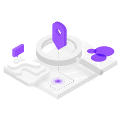
Mapping and location services
Learn how to build mapping applications with the basemap, places, geocoding, routing, GeoEnrichment and elevation services.

Portal and data services
Learn how to create, manage, and access geospatial content with the portal service and host your data as a feature, vector tile, map tile, or image service.
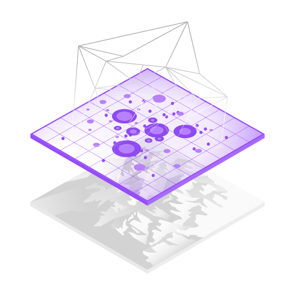
Spatial analysis services
Learn how to discover patterns, gain insights, and solve geographic problems with the spatial analysis and raster analysis services.

Low-code/no-code app builders
Learn how to create, configure, and deploy web mapping applications with app builders.
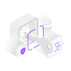
Security and authentication
Learn how to access secure content and services with API keys, OAuth 2.0, and user authentication.

Offline mapping apps
Learn how to build applications that work when network connectivity is unreliable or entirely absent.
Discover the developer capabilities of ArcGIS products
ArcGIS Location Platform
A platform as a service (PaaS) for developers to build mapping and analysis applications.
ArcGIS Online
A software as a service (SaaS) offering that developers can use to create, manage, and share geospatial content in the cloud.
ArcGIS Enterprise
Extendable server software that developers use to create, manage, and share geospatial content on-premise or in private clouds.
ArcGIS Pro
A professional GIS desktop application for Windows that can be extended by developers.