Load an ArcGIS tiled layer from a URL.
Use case
A tiled layer consumes raster tiles provided by an ArcGIS service or a tile package (.tpk & .tpkx). Dividing a raster into tiles provides the user with relevant tiles and level of detail while panning and zooming, allowing for rapid map visualization and navigation. For example, say you wanted an application with a map containing all museums in your city so that you could share this with tourists. Since only the museums would need to support being identifiable or queryable within the app, all other contextual information required to orient and direct the tourists could be sourced from a single ArcGIS tiled layer, leading to faster performance and minimizing the time to load the map.
How to use the sample
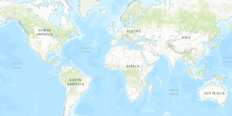
Launch the app to view the "World Topographic Map" tile layer as the basemap.
How it works
- Create a
ArcGISTiledLayerobject from a URL. - Create a
Basemappassing in the tiled layer. - Create an
ArcGISMapwith the basemap. - Set the map on the
MapView.
Relevant API
- ArcGISMap
- ArcGISTiledLayer
- Basemap
- MapView
About the data
The application utilizes the "World Topographic Map" tile layer. This presents a simple yet powerful illustration of adding visualization context to a basemap through the use of an ArcGIS tiled layer.
Additional information
An ArcGISTiledLayer can also be added to the ArcGISMap as a layer, but it's best practice to use as a basemap since its purpose is to provide geographical context. ArcGIS tiled layers do not support reprojection, query, select, identify, or editing.
Tags
basemap, layers, raster tiles, tiled layer, visualization
Sample Code
/*
* Copyright 2017 Esri.
*
* Licensed under the Apache License, Version 2.0 (the "License"); you may not
* use this file except in compliance with the License. You may obtain a copy of
* the License at
*
* http://www.apache.org/licenses/LICENSE-2.0
*
* Unless required by applicable law or agreed to in writing, software
* distributed under the License is distributed on an "AS IS" BASIS, WITHOUT
* WARRANTIES OR CONDITIONS OF ANY KIND, either express or implied. See the
* License for the specific language governing permissions and limitations under
* the License.
*/
package com.esri.samples.tiled_layer;
import javafx.application.Application;
import javafx.scene.Scene;
import javafx.scene.layout.StackPane;
import javafx.stage.Stage;
import com.esri.arcgisruntime.layers.ArcGISTiledLayer;
import com.esri.arcgisruntime.mapping.ArcGISMap;
import com.esri.arcgisruntime.mapping.Basemap;
import com.esri.arcgisruntime.mapping.view.MapView;
public class TiledLayerSample extends Application {
private MapView mapView;
private static final String SERVICE_FEATURE_URL =
"http://services.arcgisonline.com/arcgis/rest/services/World_Topo_Map/MapServer";
@Override
public void start(Stage stage) {
try {
// create stack pane and application scene
StackPane stackPane = new StackPane();
Scene scene = new Scene(stackPane);
// set title, size, and add scene to stage
stage.setTitle("Tiled Layer Sample");
stage.setWidth(800);
stage.setHeight(700);
stage.setScene(scene);
stage.show();
// create new Tiled Layer from service URL
final ArcGISTiledLayer tiledLayer = new ArcGISTiledLayer(SERVICE_FEATURE_URL);
// set Tiled Layer as basemap
final Basemap basemap = new Basemap(tiledLayer);
// add basemap to ArcGISMap
final ArcGISMap map = new ArcGISMap();
map.setBasemap(basemap);
// create a view and set ArcGISMap to it
mapView = new MapView();
mapView.setMap(map);
// add the map view and control panel to stack pane
stackPane.getChildren().addAll(mapView);
} catch (Exception e) {
// on any error, display stack trace
e.printStackTrace();
}
}
/**
* Stops and releases all resources used in application.
*/
@Override
public void stop() {
if (mapView != null) {
mapView.dispose();
}
}
/**
* Opens and runs application.
*
* @param args arguments passed to this application
*/
public static void main(String[] args) {
Application.launch(args);
}
}