Current version: 2.3.0 - April 11, 2024. Release notes.
The ArcGIS API for Python is a powerful, modern Pythonic library that supports the latest releases of ArcGIS Enterprise and ArcGIS Online and provides a consistent programmatic experience for scripting and automating across the ArcGIS product suite. It is used for three key workflows:
- GIS organization administration: management of users, groups, items, and servers, customizing the look and feel of your ArcGIS Enterprise or ArcGIS Online organization
- Content management: authoring and publishing content (layers, web maps, services), cloning and moving content within and between organizations, editing and updating layers and services
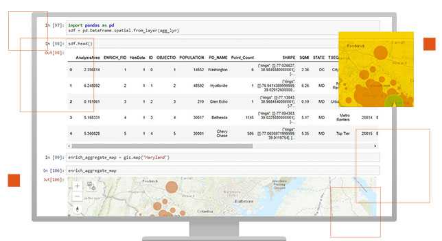
- Spatial analysis and data science: data wrangling and engineering, working with spatial data as pandas dataframes, spatial analysis, mapping and visualization, machine learning and deep learning
For more details on what you can do with the API and a deep dive into the modules, please see the Overview of the ArcGIS API for Python.

Sample Notebooks
Samples demonstrate the various features of the ArcGIS API for Python. For relevance, the samples are categorized by user profiles. Most samples are in the form of a Jupyter Notebook, that can be viewed online or downloaded and run interactively.

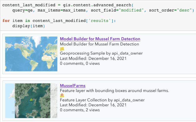
Inventory Organizational Content

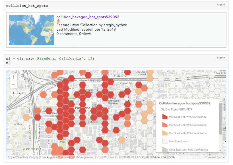
Crime analysis and clustering using geoanalytics and pyspark.ml

Safe Streets to Schools
