 Hide Table of Contents
 Tutorials
About the API
Work with the API
Graphics and feature layers
Popups and Info Windows
Mobile
ArcGIS Server Services
References
What's New archive
Tutorials
About the API
Work with the API
Graphics and feature layers
Popups and Info Windows
Mobile
ArcGIS Server Services
References
What's New archive
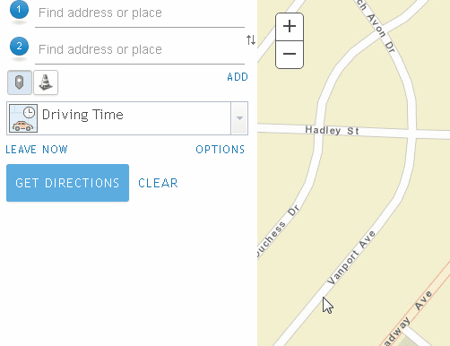
Directions widget now includes support for barriers
The Directions widget now supports working with showBarriersButton to determine optimal routing. This adds a restriction line barrier, which prohibits travel where the barrier intersects the route. The route dynamically changes the directions to avoid the barrier. For example, you may add a line barrier if there is a parade or protest that blocks traffic on your route. If this is the case, the route would automatically get diverted around that barrier.
Planetary measurements
Measurement widget and Scalebar widget have been updated to support many non-Earth projections, such as for the Moon, Mars, Venus. This allows you to properly measure craters on the moon or plan your next trip to Mars.
More detailed Bing road data in certain areas
The Bing Maps tiles used in VETiledLayer have been improved. For example, it now includes detailed street data for China.
Support for Hindi locale
Version 3.20 adds support for the Hindi (hi) locale. See Localization topic for more information about using different locales.
API updates and enhancements
- New property
showBarriersButtonon classDirections. - New property
backgroundColoron classMap. - The background color of the Map can be specified in the constructor or changed with setBackgroundColor().
- BasemapGallery widget no longer displays web mapping applications, only web maps.
- Added new showBarriers constructor option and property to the Directions widget.
- New API configuration option, workers.loaderConfig to specify locations of packages to be loaded with the workers or to define feature detections.
Bug fixes
- BUG-000100470: API Reference documentation now links to samples for RouteTask.
- ENH-000101646: The VETiledLayer class in the JavaScript API to access the newest Bing Maps streets tile cache.
- BUG-000102110: Dijits utilizing swipe functionality now work smoothly using touch events in Chrome.
- BUG-000100656: Legend digit is no longer cached when destroyed.
- BUG-000101296: Select event now fires correctly in the DataBrowser widget.
- BUG-000102090: Fixed an issue where snapping was not working properly in Chrome.
- BUG-000102622: It is now possible to toggle through pie charts added using the Pop-up Media option in the pop-up window when the web map is embedded in a website.
Additional packages
Version 3.20 of the ArcGIS API for JavaScript include:
- dgrid versions
- dgrid version 1.1.0 (since version 3.17)
- dgrid version 0.3.17 (since version 3.13)
NOTE: If working with version 1.1.0, please reference the
dgrid1directory, whereas version 0.3.17 should reference thedgriddirectory. Please refer to the dgrid 0.4 Migration Guide for additional information on migrating to the newer version.
- Dojo version 1.12.1 (since version 3.20)
- dstore version 1.1.1 (since version 3.16)
- put-selector version 0.3.6 (since version 3.13)
- xstyle version 0.3.2 (updated for version 3.17)
Additional Resources on GitHub
Use the repository on GitHub for the JS API TypeScript definitions.