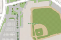
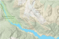
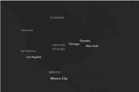
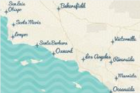
The ArcGIS Static Basemap Tiles service is a location service that provides basemap data as pre-rendered and pre-styled map tiles for the world. The map tiles are 512 x 512px PNG files that can be accessed using the level, row, column {z,y,x} URL request format. The tiles support the Web Mercator spatial reference and are available for zoom levels 0-22. The data (and styles) represent features and labels for land, water, roads, buildings, cities, places, and administrative boundaries.
The service supports two families of styles: the ArcGIS Basemap styles and the Open Basemap styles. Examples of the styles include arcgis/streets, arcgis/navigation, arcgis/outdoor, arcgis/light-gray, open/osm-style, and open/streets. The styles are categorized into the following groups: streets, topography, satellite, reference, and creative. The ArcGIS Basemap styles have optional query parameters that can define style preferences such as language and worldview.
The service provides a list of the supported styles. Metadata can also be returned for each style.
Service URL
https://static-map-tiles-api.arcgis.com/arcgis/rest/services/static-basemap-tiles-service/v1Requests


Pricing
Price category | ArcGIS Location Platform | ArcGIS Online |
|---|---|---|
| 2 million free then $0.15 per 1,000 tiles | Not supported | |
| $0.0 | Not supported |
Billing occurs when basemap tiles are returned from a request.
Terms of use
Applications that use this service must display both basemap and data attribution.
To review the attribution requirements for using ArcGIS services, go to Esri and data attribution.
To review the terms of use that apply to using ArcGIS products, services, and data, go to Esri.com > Esri Legal.