What is a buffer analysis?
A buffer analysis is the process of creating an area at a distance around a point, line, or polygon feature. To execute the analysis, use the spatial analysis service and the Create operation.

Real-world examples of this analysis include the following:
- Creating a buffer around schools.
- Creating a buffer around transit lines.
- Generating a buffer around points of interest.
After calculating a buffer area, you can use the resulting polygon for further analysis to answer questions such as: how many points of interest are within a mile of a specific location, or what buildings are within 500 feet of a school?
How to create a buffer
The general steps to create a buffer are as follows:
- Review the parameters for the
Createoperation.Buffers - Send a request to get the spatial analysis service URL.
- Execute a job request with the following URL and parameters:
- URL:
https://< YOUR_ ANALYSIS_ SERVICE>/arcgis/rest/services/tasks/GPServer/Create Buffers/submit Job - Parameters:
input: Your points dataset as a hosted feature layer or feature collection.Layer distancesorfield: The value containing the buffer distance. Usedistancesif you want multiple distances with which to calculate buffers.output: A string representing the name of the hosted feature layer to reutrn with the results.Name
- URL:
- Check the status.
- Get the output layer results.
To see examples using ArcGIS API for Python, ArcGIS REST JS, and the ArcGIS REST API, go to Examples below.
URL request
http://<YOUR_ANALYSIS_SERVICE>/arcgis/rest/services/tasks/GPServer/CreateBuffers/submitJob?<parameters>Required parameters
| Name | Description | Examples |
|---|---|---|
f | The format of the data returned. | f=json f=pjson |
token | An OAuth 2.0 access token. Learn how to get an access token in Security and authentication. | token=< |
input | The point, line, or polygon features to be buffered. | {"url":"https: |
distances | If not using field. The value with which the buffer will be calculated. | 1 |
field | If not using distances. A field within the input containing a buffer distance. | ATTRIBUTE_ |
Key parameters
| Name | Description | Examples |
|---|---|---|
units | The unit to be used with the specified distance values. | Meters, Kilometers, Miles |
dissolve | Determines whether overlapping buffers are split, dissolved, or kept. | None, Dissolve, Split |
output | A string representing the name of the hosted feature layer to return with the results. NOTE: If you do not include this parameter, the results are returned as a feature collection (JSON). | {"service |
context | A bounding box or output spatial reference for the analysis. | "extent":{"xmin: |
Code examples
Bike routes (lines)
This example uses the Create operation to create areas 200 feet around bike routes.
APIs
input_layer = "https://services3.arcgis.com/GVgbJbqm8hXASVYi/arcgis/rest/services/Portland%20Bike%20Routes/FeatureServer/0"
results = create_buffers(
input_layer=input_layer,
dissolve_type="Dissolve",
distances=[200],
units="Feet",
ring_type="Rings",
context={
"extent": {
"xmin": -13727534.4477,
"ymin": 5604395.5062,
"xmax": -13547856.7377,
"ymax": 5741928.7477,
"spatialReference": {"wkid": 102100},
}
},
#Outputs results as a hosted feature layer.
output_name="Create buffer results"
)
Service requests
Request
POST arcgis.com/sharing/rest/portals/self HTTP/1.1
Content-Type: application/x-www-form-urlencoded
&f=json
&token=<ACCESS_TOKEN>Response (JSON)
{
"helperServices": {
// Other parameters
"analysis": {
"url": "https://<YOUR_ANALYSIS_SERVICE>/arcgis/rest/services/tasks/GPServer"
},
"geoenrichment": {
"url": "https://geoenrich.arcgis.com/arcgis/rest/services/World/GeoenrichmentServer"
}
}
}Request
POST <YOUR_ANALYSIS_SERVICE>/arcgis/rest/services/tasks/GPServer/CreateBuffers/submitJob HTTP/1.1
Content-Type: application/x-www-form-urlencoded
&f=json
&token=<ACCESS_TOKEN>
&inputLayer={"url":"https://services3.arcgis.com/GVgbJbqm8hXASVYi/arcgis/rest/services/Portland Bike Routes/FeatureServer/0","name":"Portland Bike Routes"}
&dissolveType=Dissolve
&distances=[200]
&units=Feet
&ringType=Rings
&sideType=Full
&endType=Round
&outputName={"serviceProperties":{"name":"Create buffer results"}}
&context={"extent":{"xmin":-13662729.567933429,"ymin":5698255.281363884,"xmax":-13646142.732795566,"ymax":5708813.1458957605,"spatialReference":{"wkid":102100,"latestWkid":3857}}}
Response (JSON)
{
"jobId": "<JOB_ID>",
"jobStatus": "esriJobSubmitted",
"results": {},
"inputs": {},
"messages": []
}
Request
POST <YOUR_ANALYSIS_SERVICE>/arcgis/rest/services/tasks/GPServer/CreateBuffers/jobs/<JOB_ID> HTTP/1.1
Content-Type: application/x-www-form-urlencoded
&f=json
&token=<ACCESS_TOKEN>
Response (JSON)
// Executing job
{
"jobId": "<JOB_ID>",
"jobStatus": "esriJobExecuting",
"results": {},
"inputs": {},
"messages": []
}
// Job succeeded
{
"jobId": "<JOB_ID>",
"jobStatus": "esriJobSucceeded",
"results": {
"bufferLayer": {
"paramUrl": "results/bufferLayer"
},
},
"inputs": {},
"messages": []
}
Request
POST <YOUR_ANALYSIS_SERVICE>/arcgis/rest/services/tasks/GPServer/CreateBuffers/jobs/<JOB_ID>/results/bufferLayer HTTP/1.1
Content-Type: application/x-www-form-urlencoded
&f=json
&returnType=data
&token=<ACCESS_TOKEN>Response (JSON)
{
"paramName": "bufferLayer",
"dataType": "GPString",
"value": {
"url": "<SERVICE_URL>",
"itemId": "<ITEM_ID>"
}
}Recreational parcels (polygons)
This example uses the Create operation to create areas one mile around recreational parcels in the Santa Monica Mountains Parcels hosted feature layer.
APIs
input_layer = "https://services3.arcgis.com/GVgbJbqm8hXASVYi/arcgis/rest/services/Santa_Monica_Mountains_Parcels/FeatureServer/0/query?where=UseType='Recreational'"
results = create_buffers(
input_layer=input_layer,
dissolve_type="Dissolve",
distances=[1],
units="Miles",
ring_type="Rings",
context={
"extent": {
"xmin": -13241162.787695415,
"ymin": 4029393.2145536076,
"xmax": -13208887.252502043,
"ymax": 4049992.993676435,
"spatialReference": {"wkid": 102100},
}
},
#Outputs results as a hosted feature layer.
output_name="Create buffer results"
)
Service requests
Request
POST arcgis.com/sharing/rest/portals/self HTTP/1.1
Content-Type: application/x-www-form-urlencoded
&f=json
&token=<ACCESS_TOKEN>Response (JSON)
{
"helperServices": {
// Other parameters
"analysis": {
"url": "https://<YOUR_ANALYSIS_SERVICE>/arcgis/rest/services/tasks/GPServer"
},
"geoenrichment": {
"url": "https://geoenrich.arcgis.com/arcgis/rest/services/World/GeoenrichmentServer"
}
}
}Request
POST <YOUR_ANALYSIS_SERVICE>/arcgis/rest/services/tasks/GPServer/CreateBuffers/submitJob HTTP/1.1
Content-Type: application/x-www-form-urlencoded
&f=json
&token=<ACCESS_TOKEN>
&inputLayer={"url":"https://services3.arcgis.com/GVgbJbqm8hXASVYi/arcgis/rest/services/Santa_Monica_Mountains_Parcels/FeatureServer/0","filter":"UseType = 'Recreational'","name":"Santa_Monica_Mountains_Parcels"}
&dissolveType=Dissolve
&distances=[1]
&units=Miles
&ringType=Rings
&sideType=Full
&endType=Round
&outputName={"serviceProperties":{"name":"Create buffer results"}}
&context={"extent":{"xmin":-13241162.787695415,"ymin":4029393.2145536076,"xmax":-13208887.252502043,"ymax":4049992.993676435,"spatialReference":{"wkid":102100,"latestWkid":3857}}}
Response (JSON)
{
"jobId": "<JOB_ID>",
"jobStatus": "esriJobSubmitted",
"results": {},
"inputs": {},
"messages": []
}
Request
POST <YOUR_ANALYSIS_SERVICE>/arcgis/rest/services/tasks/GPServer/CreateBuffers/jobs/<JOB_ID> HTTP/1.1
Content-Type: application/x-www-form-urlencoded
&f=json
&token=<ACCESS_TOKEN>
Response (JSON)
// Executing job
{
"jobId": "<JOB_ID>",
"jobStatus": "esriJobExecuting",
"results": {},
"inputs": {},
"messages": []
}
// Job succeeded
{
"jobId": "<JOB_ID>",
"jobStatus": "esriJobSucceeded",
"results": {
"bufferLayer": {
"paramUrl": "results/bufferLayer"
},
},
"inputs": {},
"messages": []
}
Request
POST <YOUR_ANALYSIS_SERVICE>/arcgis/rest/services/tasks/GPServer/CreateBuffers/jobs/<JOB_ID>/results/bufferLayer HTTP/1.1
Content-Type: application/x-www-form-urlencoded
&f=json
&returnType=data
&token=<ACCESS_TOKEN>Response (JSON)
{
"paramName": "bufferLayer",
"dataType": "GPString",
"value": {
"url": "<SERVICE_URL>",
"itemId": "<ITEM_ID>"
}
}Tutorials
Learn how to perform related analyses interactively with Map Viewer and programmatically with ArcGIS API for Python, ArcGIS REST JS, and ArcGIS REST API.
Find data sources
Discover data in ArcGIS that you can use for feature analysis.
Create data sources
Import, create, and generate data for feature analysis.
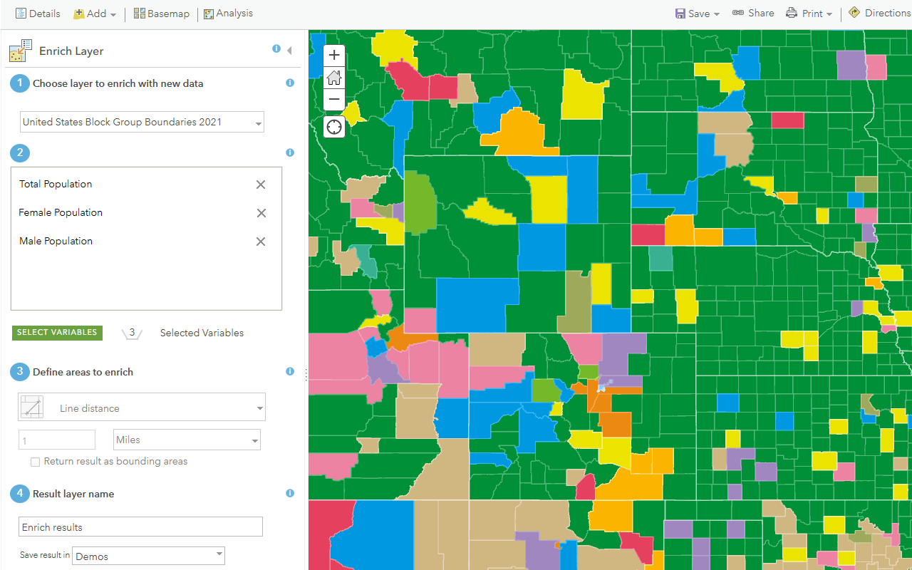
Enrich data sources
Enrich data with demographic information and local business facts using the spatial analysis service.

Find and extract data
Find data with attribute and spatial queries using find analysis operations.
Combine data
Overlay, join, and dissolve features using combine analysis operations.
Summarize data
Aggregate and summarize features using summarize analysis operations.
Discover patterns in data
Find patterns and trends in data using spatial analysis operations.
Services
Spatial analysis service
Process spatial datasets to discover relationships and patterns.
API support
- 1. Access with geoprocessing task
- 2. Access via ArcGIS REST JS