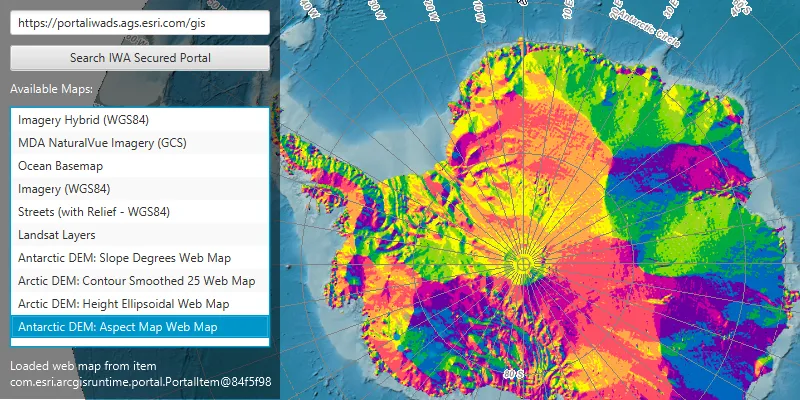
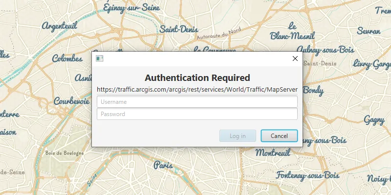
ArcGIS supports secure access to ArcGIS services A service, also known as an ArcGIS service, is software that supports an ArcGIS REST API and provides geospatial functionality or data. A service can be hosted by Esri or in ArcGIS Enterprise. Learn more and portal items. It ensures that only valid, authorized users and services can access protected information. To access secure ArcGIS resources, you need an access token An access token is an authorization string that provides access to secure ArcGIS content, data, and services. Its capabilities are determined by the privileges it supports. It is obtained by implementing API key authentication, User authentication, or App authentication. Learn more that you can obtain by implementing an authentication workflow in your app. The type of authentication you use depends on the security and access requirements of your app.

Learn more about authentication in the following topics:

  • Types of authentication—describes the available types of authentication and offers help choosing the right one for your app.
  • Implement authentication—provides guidance for implementing authentication in your app using the ArcGIS Maps SDK for .NET authentication API.

Tutorials

Samples