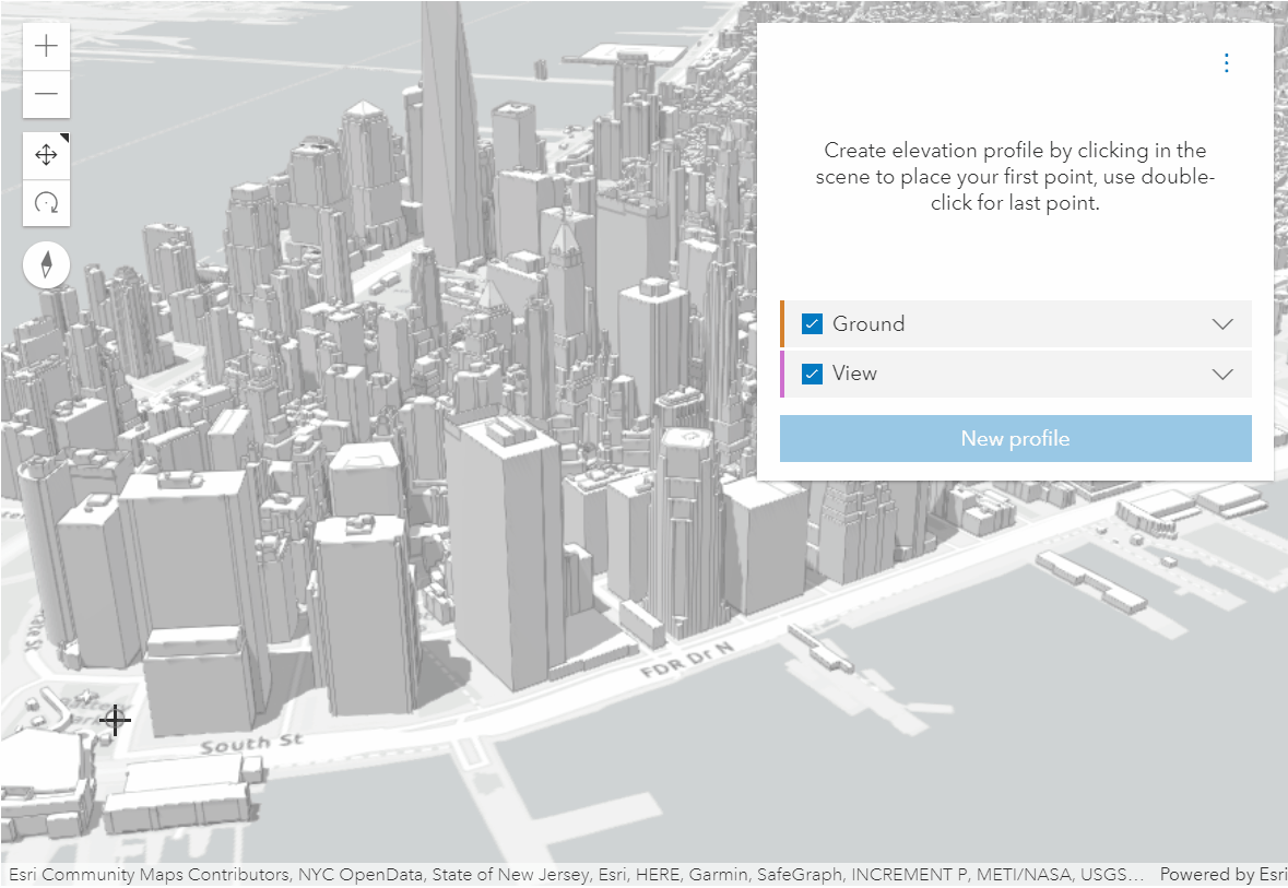
The ElevationProfile widget is used to generate and display an elevation profile from an input path. In this sample the input path is interactively created by drawing a single- or multi-segment line. The widget has the profiles property configured such that it displays two elevation profile lines, one for ground, one for the buildings.
const elevationProfile = new ElevationProfile({ view: view, profiles: [ { type: "ground", // first profile line samples the ground elevation }, { type: "view", // second profile line samples the view and shows building profiles }, ], // hide the select button // this button can be displayed when there are polylines in the // scene to select and display the elevation profile for visibleElements: { selectButton: false, },});For more usage and configuration options see ElevationProfile in the API Reference.