Explore Mars
Explore the Martian surface using a 3D web app.
What it does
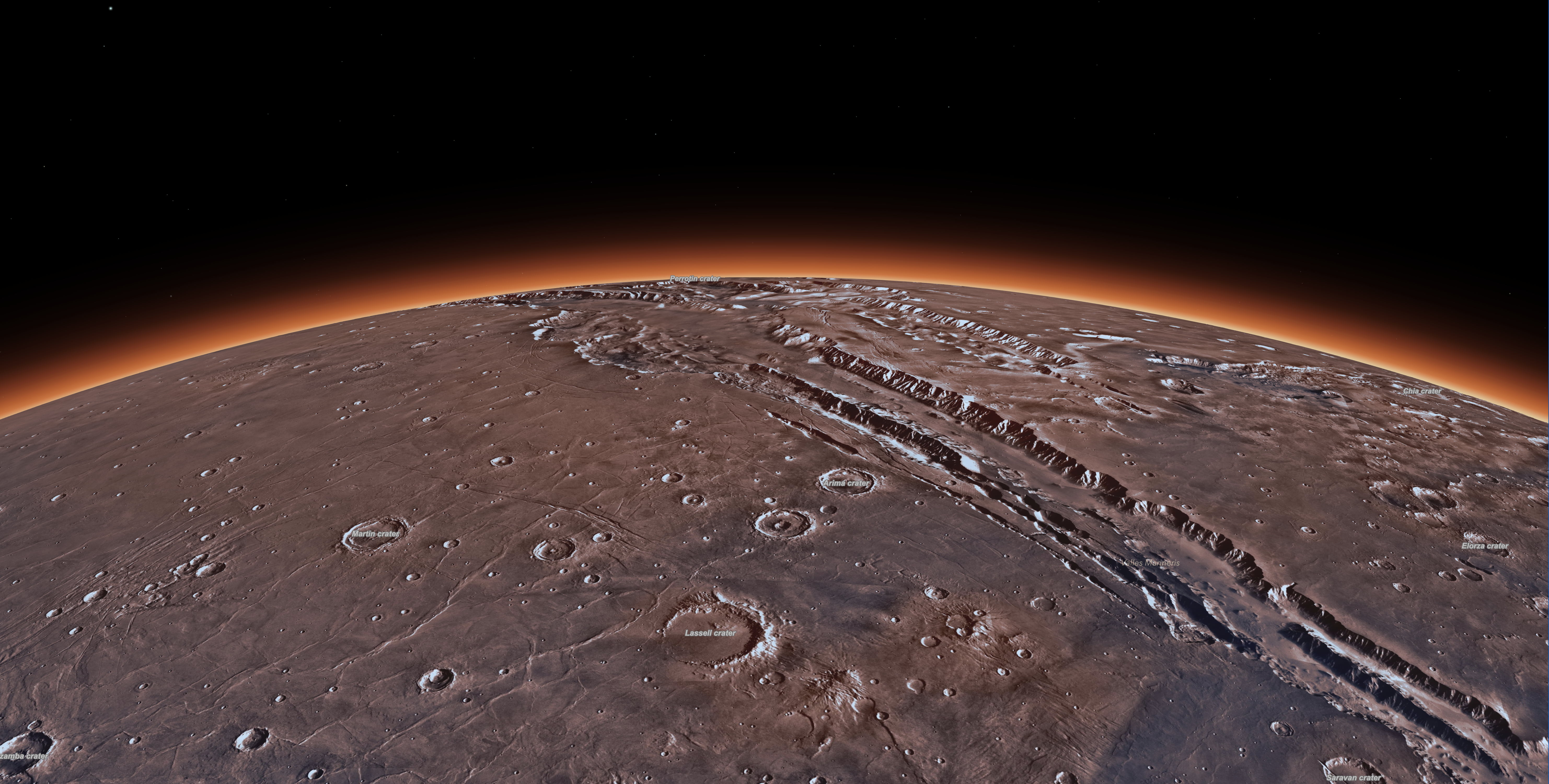
Navigate and explore Mars using this application. It allows you to traverse the Martian surface, accurately measure its craters and mountains, and understand its terrain with the help of detailed imagery and spatial data. The application uses the Martian coordinate system for an accurate representation of the planet’s real size. You can also compare Mars with Earth by overlaying known regions and 3D objects, which aids in understanding the scale and size of Mars. Moreover, you can trace the paths of rovers such as Perseverance and Curiosity.
Under the hood
Imagery and elevation layers are supported in the GCS_Mars_2000 spatial reference system. The API automatically adjusts the globe diameter and atmosphere to match the spatial reference system.
Users can take measurements using the interactive line, area and elevation analysis tools within a custom UI.
Users can place regions from Earth on the Martian surface and the app will project the geometry between the different spatial reference systems to correctly represent its size.
Users can compare custom glTF models to the Martian terrain.