Participatory Planning
Create your next neighborhood in 3D
What it does
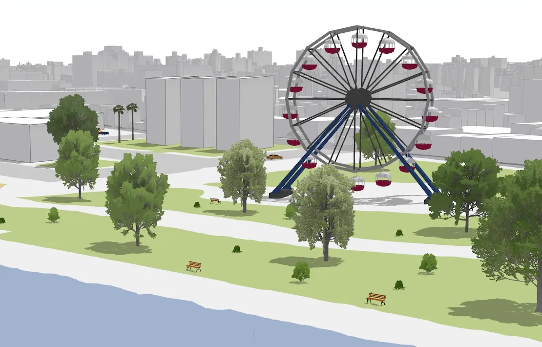
This app allows citizens to engage in urban planning processes by interactively propose designs for future developments. Using the 3D sketching capabilities, users can draw on the ground, create simple buildings and place arbitrary 3D objects in the scene.
Under the hood
Interactive sketch tools allow users to draw geometries in a scene. Polygons can then be extruded by real world heights to represent buildings.
Ready to use collections of 3D symbols help users equip their plan with realistic vegetation, vehicles and park furniture.
The glTF capabilities of the API make it possible to place arbitrary 3D models in the scene.
Drawing parks, streets, water and beaches on the ground is possible using a simple basemap with very few colors.