Hike in the Swiss National Park
Select and visualize hiking trails using a 3D web app
What it does
In this app you can explore National Park hiking trails in a 3D scene. Hikers that want to pick a hike based on their ability can filter trails by difficulty level or walk time, or select a trail from the map to display more details such as the trail name, description, and elevation profile.
Under the hood
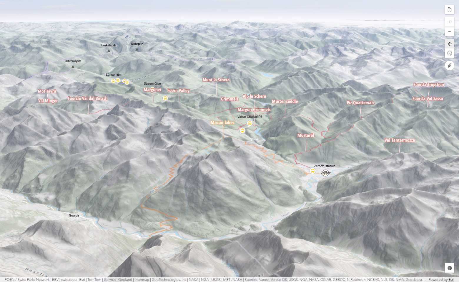
A 3D web scene is used that contains contour lines, mountain peaks and more. The web scene encapsulates this geo-spatial data and is loaded in the web app with just a few lines of code.
This app was originally built using 2D data. Using Esri’s global elevation service, terrain was added to the scene in order to provide a lifelike 3D context around the 2D trail data.
Labels can be easily obstructed by terrain or other 3D objects in a scene. This app uses labels that have a vertical offset and callout line so that trail names can be seen above mountain tops.
The Elevation Profile component is used to give a sense of hiking difficulty by depicting elevation changes over distance. It queries the Esri global elevation service to determine each trail's elevation along its entire path.