Use the ArcGIS portal to create a vector tile service and the MapLibre ArcGIS plugin to display the vector tiles on a map.
What you'll learn
You will learn how to:
- Import and host data of U.S. city populations to create a feature service
A feature service is a data service that provides access to spatial and non-spatial data in feature layers, feature layer views, and tables. . - Style feature data with a unique value renderer and color ramp.
- Publish a vector tile service from the feature layer
A feature layer (client-side) is a data layer that can access and display features from a feature service that has the same type of geometry and attribute fields. . - Style vector tiles
A vector tile layer is a data layer used to access and display tiled data and its corresponding styles. to enhance text labels. - Create an API key credential.
- Use an access token to access the vector tile service.
- Display and query the vector tiles to show a popup of population data with the MapLibre ArcGIS plugin.
What you'll use
-
ArcGIS portal
ArcGIS portal, also known as a portal, is a website with applications and tools that can be used to create, manage, access, and share geospatial content and data. It supports security and authentication, developer credentials, content and data service management, user and group management, and site administration. A portal can be hosted in Esri's infrastructure or your own infrastructure. -
Map Viewer
Map Viewer is a browser-based mapping tool that can view, create, and save web maps. It can also perform mapping, visualization, and spatial analysis operations. -
ArcGIS Vector Tile Style Editor
The ArcGIS Vector Tile Style Editor is a web-based application used to create, edit, and save a custom style for vector tile basemap layer. -
API key authentication
API key authentication is a type of authentication that uses an API key to authenticate requests to ArcGIS services and secure portal items. - MapLibre ArcGIS plugin
What you'll need
Before you begin, you need the following:
- An ArcGIS Location Platform or ArcGIS Online account.
- A modern web browser, such as recent versions of Chrome, Firefox, Safari, or Edge.
- Basic knowledge of HTML, CSS, and JavaScript.
- A code editor, such as CodePen (recommended for this how-to).
Steps
Step 1

Import data
Step 2

Style feature data
Step 3
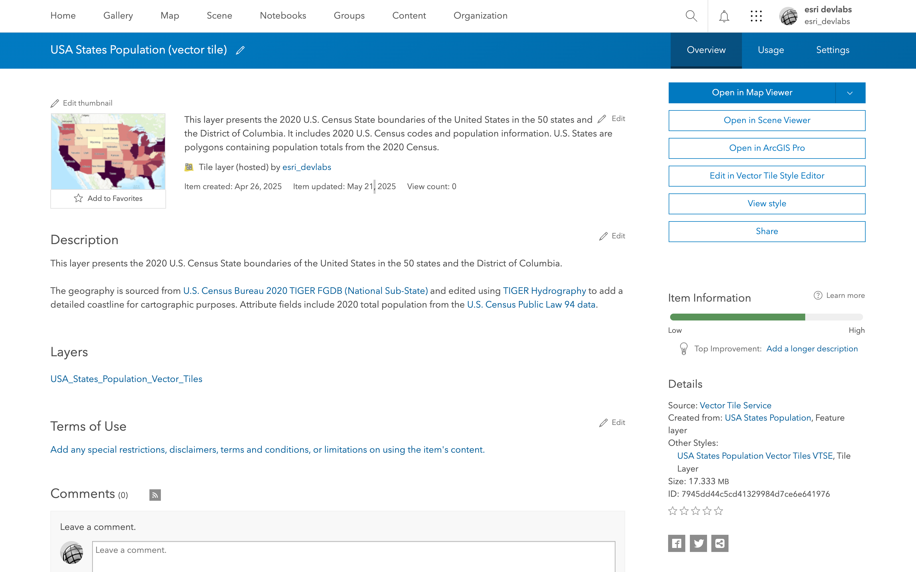
Publish vector tiles
Step 4

Style vector tiles
Step 5

Create an API key
Step 6
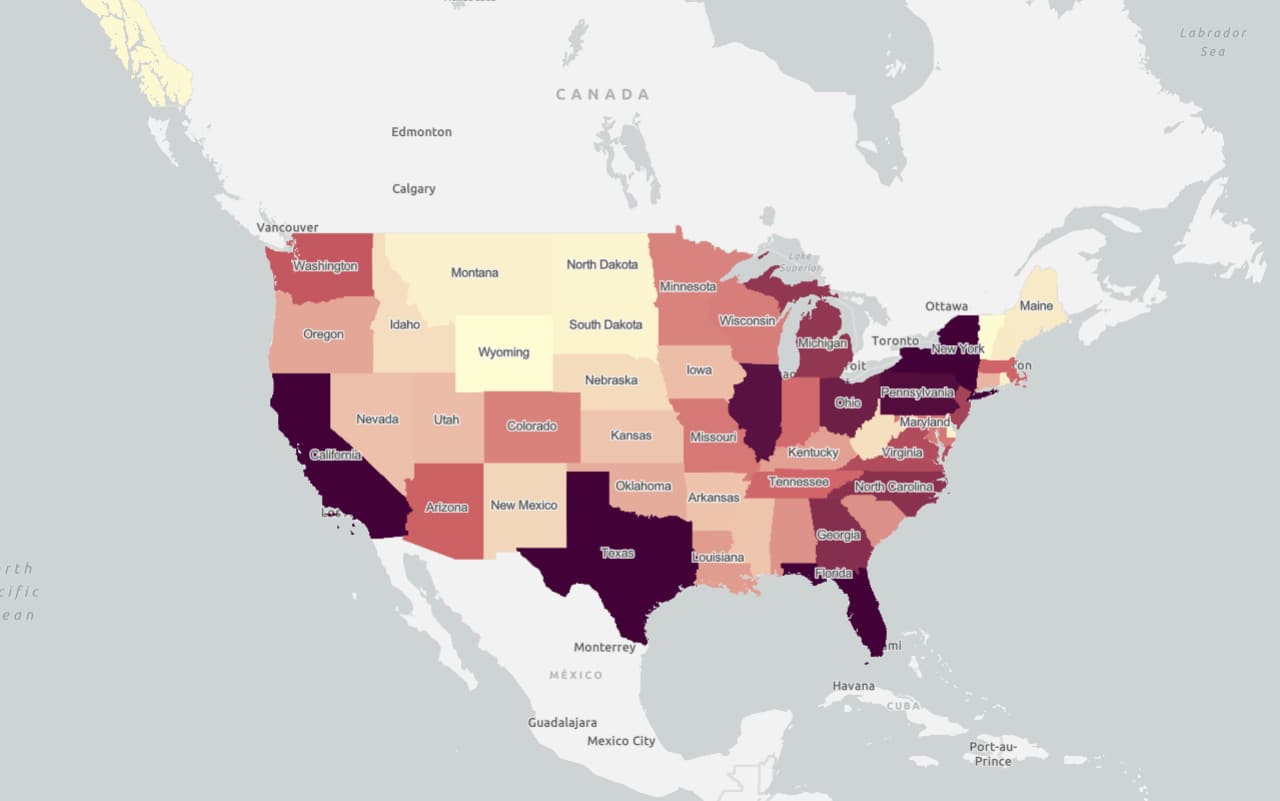
Add vector tiles
Step 7
