Migration
The steps required to migrate to ArcGIS depend on the type of application you have, how the map and data are styled, and what additional mapping functionality is supported. In most cases, the map style can be replaced with styles from the ArcGIS Basemap Styles service
Learn more about the steps to migrate below.
Steps
- Library migration: Update apps to use the MapLibre GL JS library.
- Map migration: Display basemap styles with the MapLibre ArcGIS plugin.
- Data migration: Manage your map data with hosted data services and display data with the MapLibre ArcGIS plugin.
- Location services migration: Add additional mapping functionality with ArcGIS REST JS and location services.
1. Library migration
The first step to migrate Mapbox GL JS applications is to update your code to use the MapLibre GL JS library. MapLibre GL JS is officially supported for building applications with ArcGIS services. Updating will also allow you to use the MapLibre ArcGIS plugin to easily access basemap styles and display data in your maps.
Mapbox to MapLibre
In most cases, you can simply replace Mapbox libraries with MapLibre library references. MapLibre GL JS is backwards compatible with Mapbox GL JS (version 1). For more information, go to the MapLibre GL JS > Mapbox migration guide.
Replace Mapbox references
<script src="https://api.tiles.mapbox.com/mapbox-gl-js/vx.x.x/mapbox-gl.js"></script>
<link href="https://api.tiles.mapbox.com/mapbox-gl-js/vx.x.x/mapbox-gl.css" rel="stylesheet" />
<script type="importmap">
{
"imports": {
"maplibre-gl": "https://unpkg.com/maplibre-gl@6.14.0/dist/maplibre-gl.mjs"
}
}
</script>
<link href="https://unpkg.com/maplibre-gl@6.14.0/dist/maplibre-gl.css" rel="stylesheet">2. Map migration
In Mapbox, you display a map by referencing a style. A style defines the visual appearance of a map and includes the required data sources and styling rules. In ArcGIS, you display a map by referencing a basemap style. You can use default basemap styles or create your own custom style.
Steps
- Select a basemap style with the Style Explorer or create a custom style.
- Use the MapLibre ArcGIS plugin to display the basemap style.
Mapbox and ArcGIS styles
Use the table below to match styles and view the styles in the Style Explorer.
| Mapbox styles | ArcGIS Basemap styles | ArcGIS Open Basemap styles |
|---|---|---|
| Standard Day | arcgis/navigation (with POIs enabled)arcgis/streets (with POIs enabled) | open/streets |
| Standard Monochrome | arcgis/light-gray | open/light-gray |
| Standard Dark | arcgis/navigation-night (with POIs enabled)arcgis/streets-night (with POIs enabled) | open/streets-nightopen/navigation-dark |
| Standard Satellite | arcgis/imagery (with POIs enabled) | open/hybrid |
| Street* | arcgis/streets | open/streetsopen/osm-style |
| Navigation Day* | arcgis/navigation | open/navigation |
| Navigation Night* | arcgis/navigation-night | open/navigation-darkopen/streets-night |
| Satellite* | arcgis/imageryarcgis/imagery-standard | open/hybrid |
| Light* | arcgis/light-gray | open/light-gray |
| Dark* | arcgis/dark-gray | open/dark-gray |
| Outdoors* | arcgis/outdoorarcgis/topographicarcgis/terrain | open/osm-style-relief |
* Legacy Mapbox classic styles
Style Explorer
Basemap styles
To update an application to use an ArcGIS basemap style, you need to select a style from the Basemap Styles service. The service supports both ArcGIS styles and Open styles.


Custom basemap styles
To create a custom basemap style for your map, you can use the ArcGIS Vector Tile Style Editor

3. Data migration
In Mapbox, you display data by adding additional data sources and layers to a map. A data source provides data in a supported format such as GeoJSON features or vector tiles. In ArcGIS, you can create data sources for mapping applications by hosting your data with data services. To do so, you use ArcGIS portal
Steps
- Use ArcGIS portal to import and host your data as feature data or vector tile data.
- Style the data on the client or server.
- Use the MapLibre ArcGIS plugin to access and display the hosted data.
Feature data
To host your feature data, use the ArcGIS portal

Vector tile data
To host your data as vector tiles, use the ArcGIS portal

4. Location services migration
To migrate or add additional mapping functionality to a MapLibre GL JS application, use the ArcGIS REST JS library to access ArcGIS services. The library can access ArcGIS Location Services
Steps
- Select a service to perform geocoding, routing, place finding, elevation finding, data enrichment, or spatial analysis.
- Access the service with ArcGIS REST JS.
- Display the map and data with the MapLibre ArcGIS plugin.
Geocoding
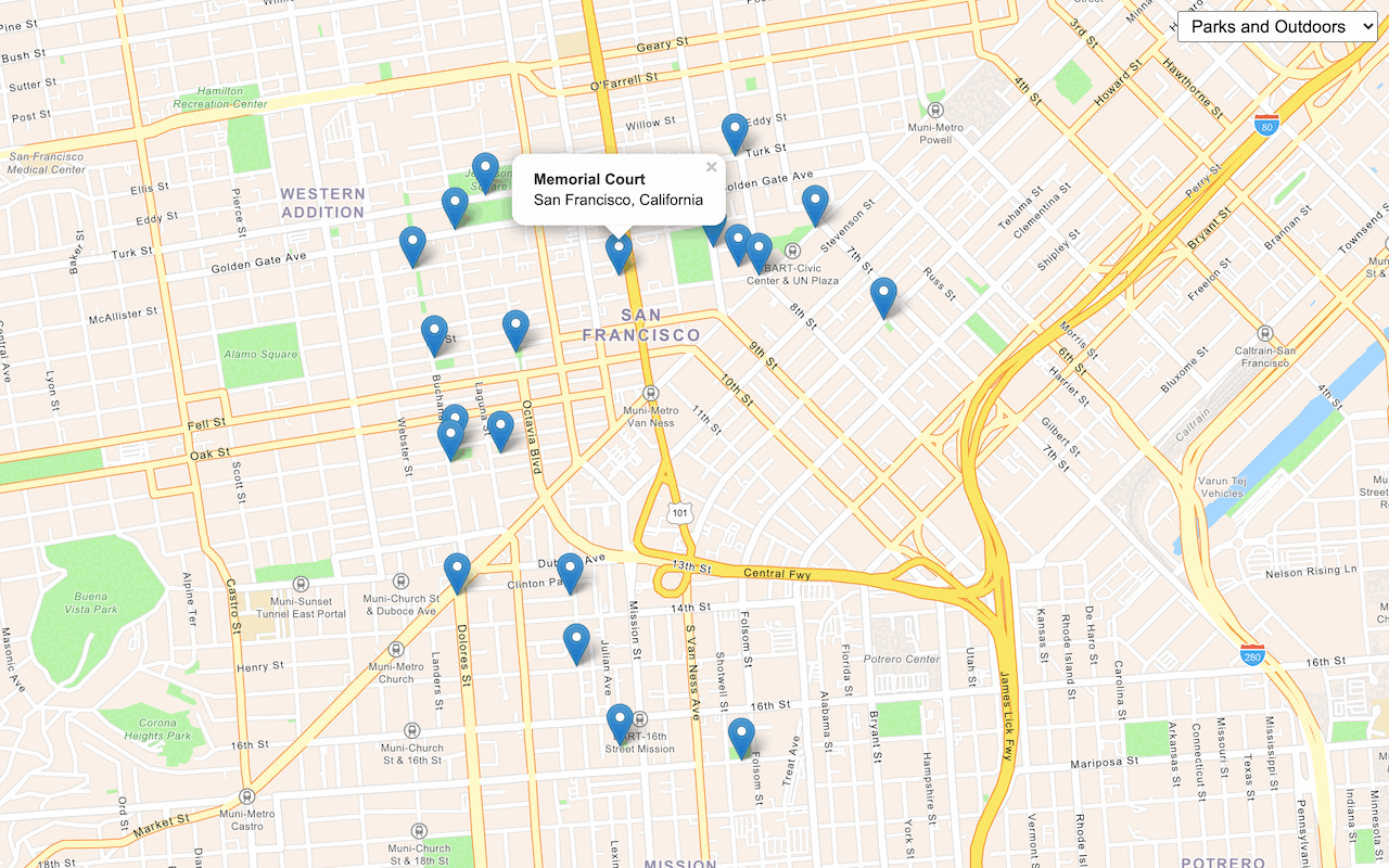
Use ArcGIS REST JS and the ArcGIS Geocoding service


Routing
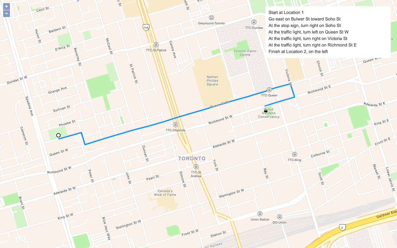
Use ArcGIS REST JS and the ArcGIS Routing service

Places
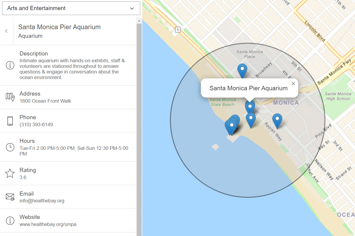
Use ArcGIS REST JS and the ArcGIS Places service

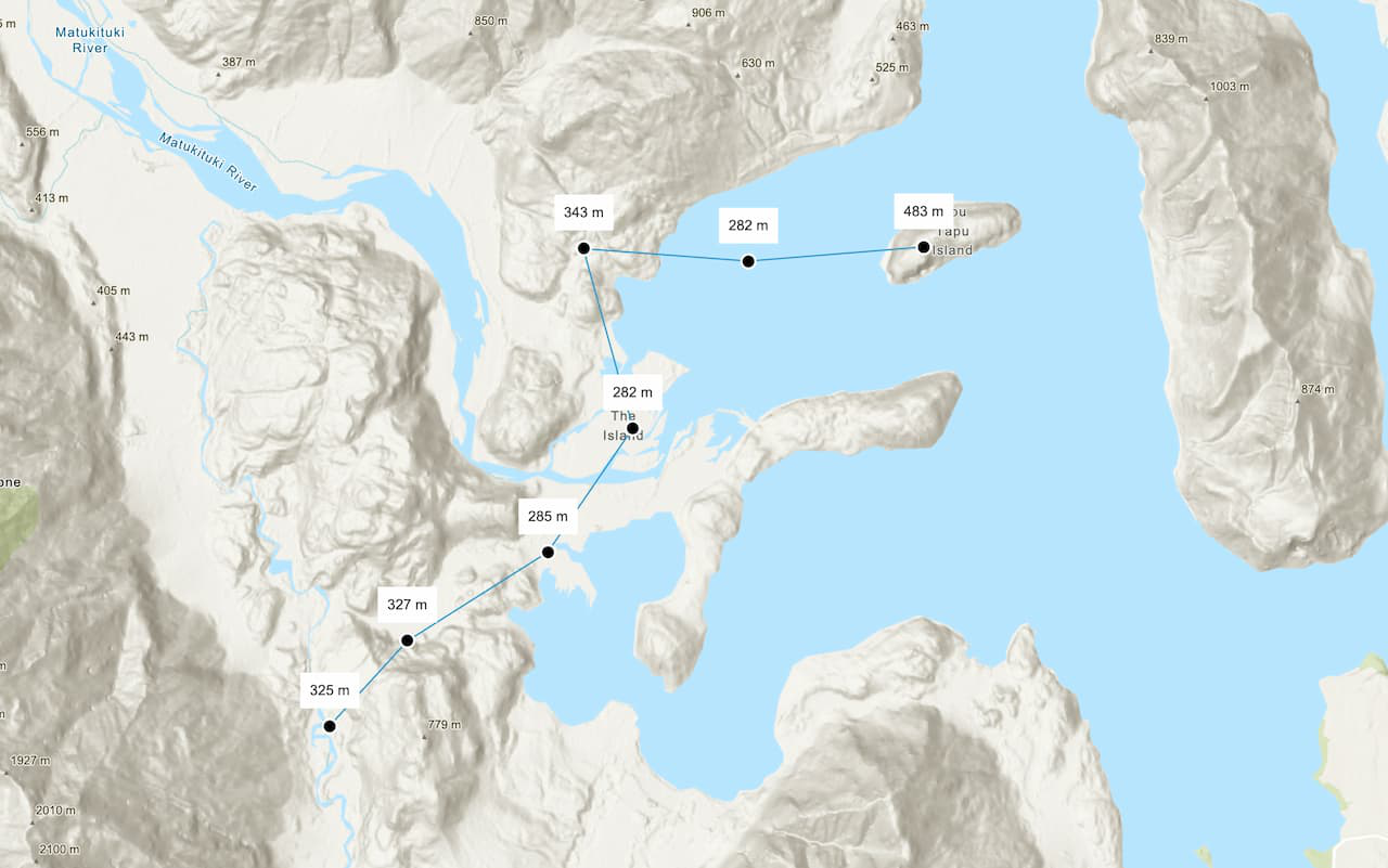
Elevation
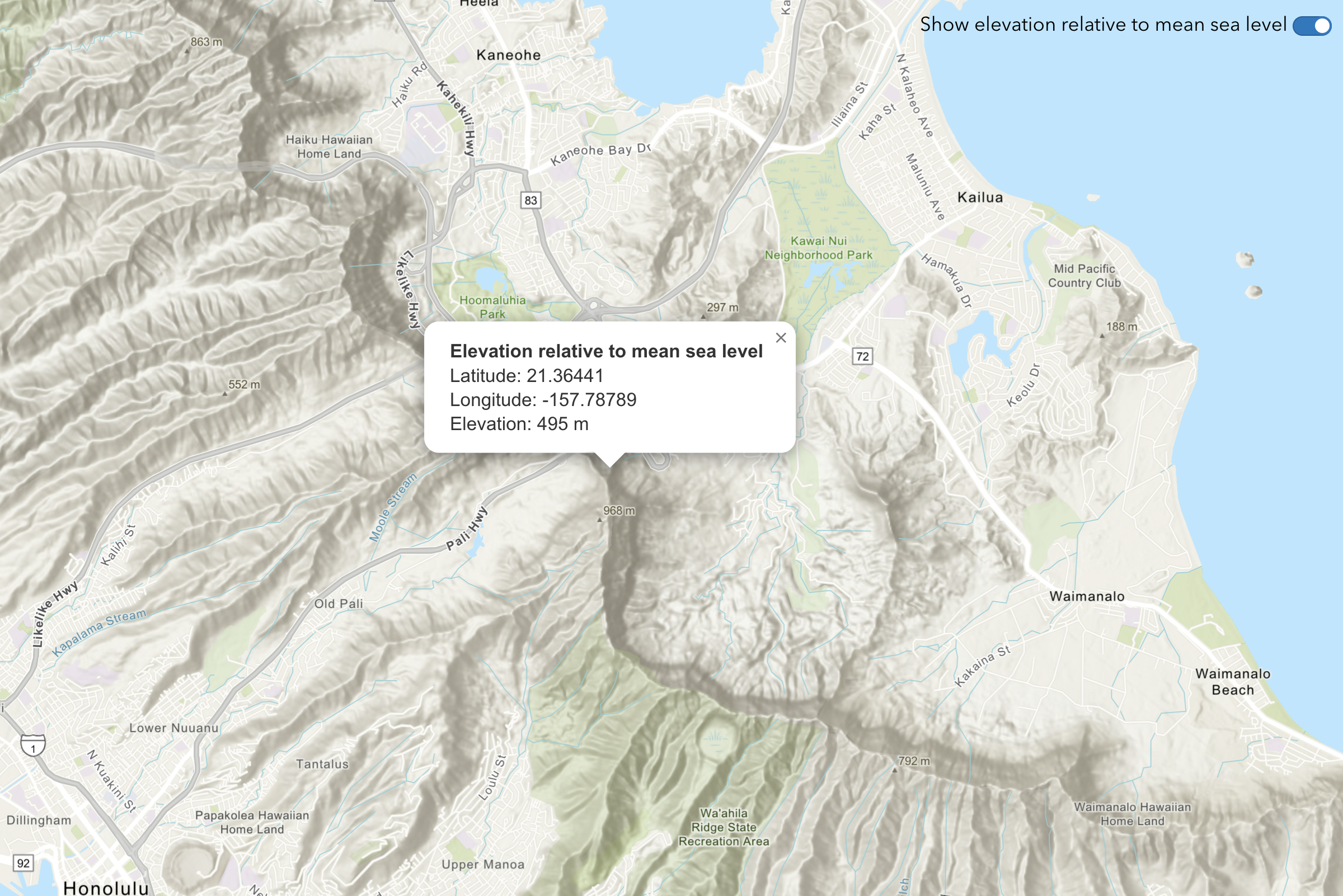
Use ArcGIS REST JS and the ArcGIS Elevation service
GeoEnrichment
Use ArcGIS REST JS and the ArcGIS GeoEnrichment service


Spatial analysis
Use ArcGIS REST JS and the ArcGIS Spatial Analysis service
