Specify a map’s spatial reference.
Use case
Choosing the correct spatial reference is important for ensuring accurate projection of data points to a map.
How to use the sample
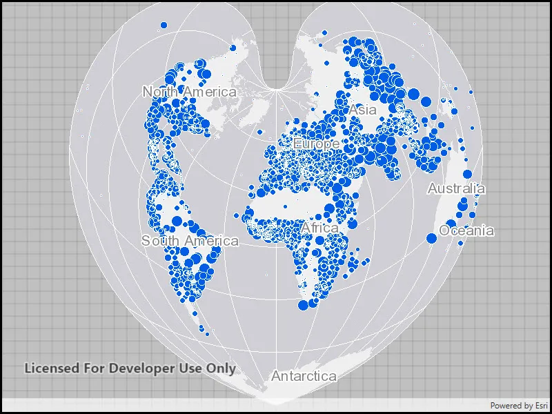
Pan and zoom around the map. Observe how the map is displayed using the World Bonne spatial reference.
How it works
- Instantiate a
Mapobject using a spatial reference e.g.ArcGISMap(SpatialReference.Create(54024)). - Instantiate a
Basemapobject using anArcGISMapImageLayerobject. - Set the base map to the map.
- Set the map to a
MapViewobject.
The ArcGIS map image layer will now use the spatial reference set to the ArcGIS map (World Bonne (WKID: 54024)) and not it’s default spatial reference.
Relevant API
- ArcGISMapImageLayer
- Basemap
- Map
- MapView
- SpatialReference
Additional information
Operational layers will automatically project to this spatial reference when possible.
Tags
project, WKID
Sample code
// Copyright 2016 Esri.//// Licensed under the Apache License, Version 2.0 (the "License"); you may not use this file except in compliance with the License.// You may obtain a copy of the License at: http://www.apache.org/licenses/LICENSE-2.0//// Unless required by applicable law or agreed to in writing, software distributed under the License is distributed on an// "AS IS" BASIS, WITHOUT WARRANTIES OR CONDITIONS OF ANY KIND, either express or implied. See the License for the specific// language governing permissions and limitations under the License.
using Esri.ArcGISRuntime.Geometry;using Esri.ArcGISRuntime.Mapping;using System;
namespace ArcGIS.WPF.Samples.SetMapSpatialReference{    [ArcGIS.Samples.Shared.Attributes.Sample(        name: "Map spatial reference",        category: "Map",        description: "Specify a map's spatial reference.",        instructions: "Pan and zoom around the map. Observe how the map is displayed using the World Bonne spatial reference.",        tags: new[] { "WKID", "project" })]    public partial class SetMapSpatialReference    {        public SetMapSpatialReference()        {            InitializeComponent();
            // Create the UI, setup the control references and execute initialization            Initialize();        }
        private void Initialize()        {            // Create new Map using spatial reference as World Bonne (54024)            Map myMap = new Map(SpatialReference.Create(54024));
            // Adding a map image layer which can reproject itself to the map's spatial reference            // Note: Some layer such as tiled layer cannot reproject and will fail to draw if their spatial            // reference is not the same as the map's spatial reference            ArcGISMapImageLayer operationalLayer = new ArcGISMapImageLayer(new Uri(                "https://sampleserver6.arcgisonline.com/arcgis/rest/services/SampleWorldCities/MapServer"));
            // Add operational layer to the Map            myMap.OperationalLayers.Add(operationalLayer);
// Assign the map to the MapView MyMapView.Map = myMap; } }}<UserControl x:Class="ArcGIS.WPF.Samples.SetMapSpatialReference.SetMapSpatialReference" xmlns="http://schemas.microsoft.com/winfx/2006/xaml/presentation" xmlns:x="http://schemas.microsoft.com/winfx/2006/xaml" xmlns:esri="http://schemas.esri.com/arcgis/runtime/2013"> <Grid> <esri:MapView x:Name="MyMapView" /> </Grid></UserControl>