Geometries represent real-world objects by defining a shape at a specific geographic location. They are used throughout the API to represent the shapes of features and graphics, layer extents, viewpoints, and GPS locations. They are also used as inputs and outputs of spatial analysis and geoprocessing operations, and to measure distances and areas, among other uses.
A spatial reference is a characteristic of a geometry that identifies how its coordinates relate to real-world space. It is important for ensuring that spatial data in different layers, graphic overlays, and feature sets can be used together for accurate viewing or analysis.
Geometry
The API includes a Geometry base class. The following table summarizes the classes that inherit from this class. See the Geometry overview for details.
| Geometry type | Description | Example of use |
|---|---|---|
Point (Point) | A single point location | Location of survey monument |
Multipoint (Multipoint) | An ordered collection of zero or more point locations in one geometry | Locations of multiple bore holes at a drilling site |
Segment (Segment) | A single two-point line | The shortest path from one point to another |
Polyline (Polyline) | One or more lines, each with two or more vertices | A road centerline |
Polygon (Polygon) | An area, possibly multipart, whose parts may have interior holes | A group of islands |
Envelope (Envelope) | A 4-sided polygon with sides aligned to the x and y axes | An area of interest |
This API provides a variety of ways to work with geometries, including:
- topological operations such as intersect, union, and buffer
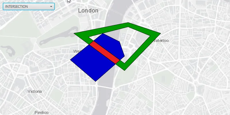
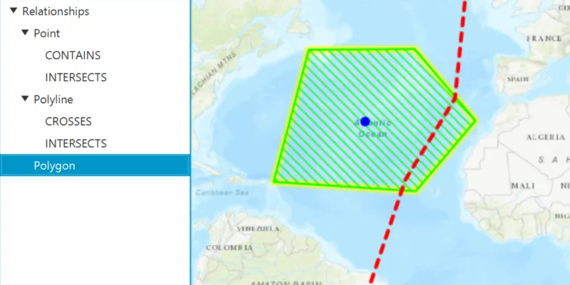
- evaluation of spatial relationships such as contains, touches, and overlaps
- measurement of length, area, and distance
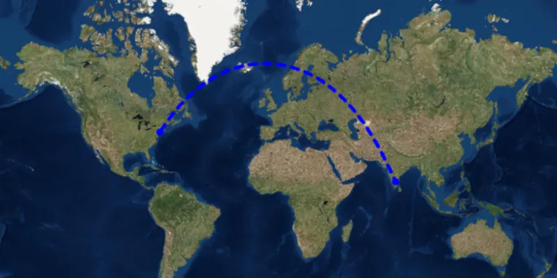
- projecting geometries to a new spatial reference
See the Work with geometry topic for details.
Spatial reference
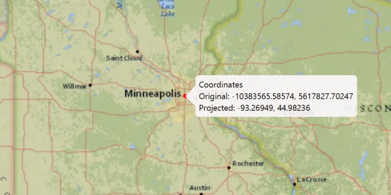
The positions of objects on the earth’s spherical surface are measured in degrees of latitude and longitude, also known as geographic coordinates. Because the earth is round and maps are flat, getting information from the curved surface to a flat one involves a mathematical formula called a map projectionx,y) or 3D (x,y,z) space. The meaning of the x,y,z coordinates are determined by a coordinate system.
The term coordinate system
A spatial reference
This API can work with data in different spatial references. When necessary, geometries are automatically projected on the fly to ensure that data is displayed and analyzed together correctly. However, you can also explicitly project geometries from one spatial reference to another.
See the Spatial reference topic for more information.