Current version: 5.0 (February 2026)
This guide describes how to use the
Where to start
- Discover key features of the SDK.
- Get started overview the SDK.
- Explore the tutorials and sample code.
Sample code
Explore our extensive collection of samples, or play around with one of the highlighted samples below.
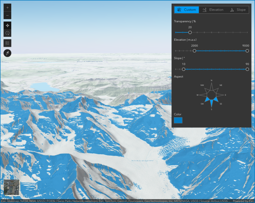
Terrain analysis with raster functions
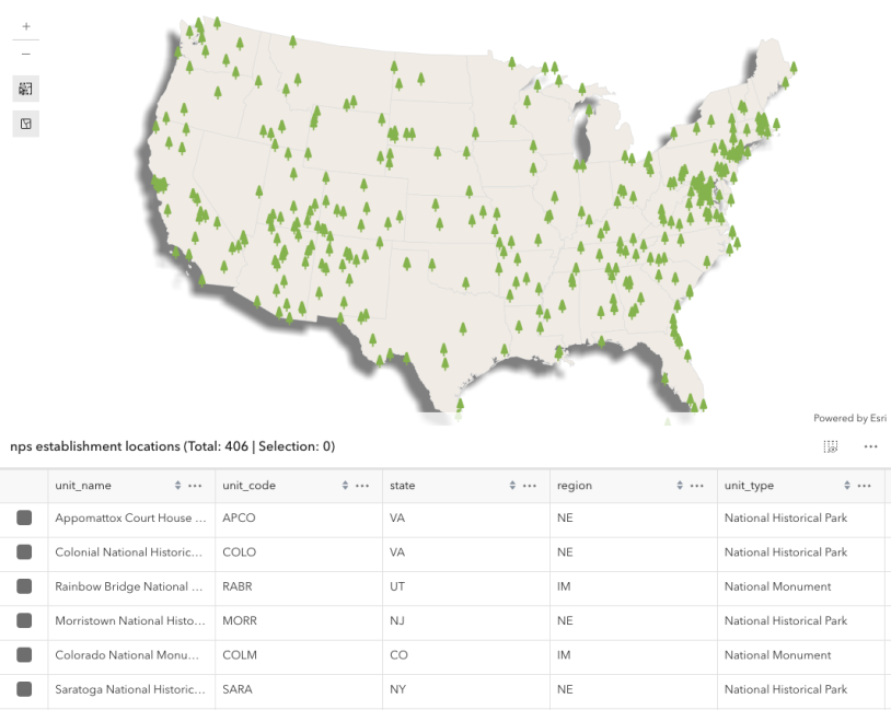
Select features by rectangle
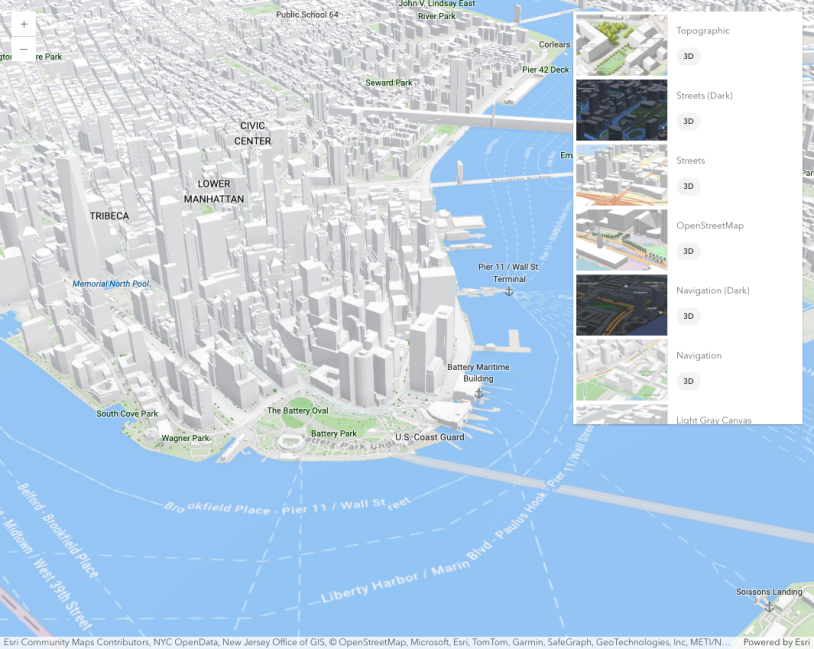
Basemap Gallery component
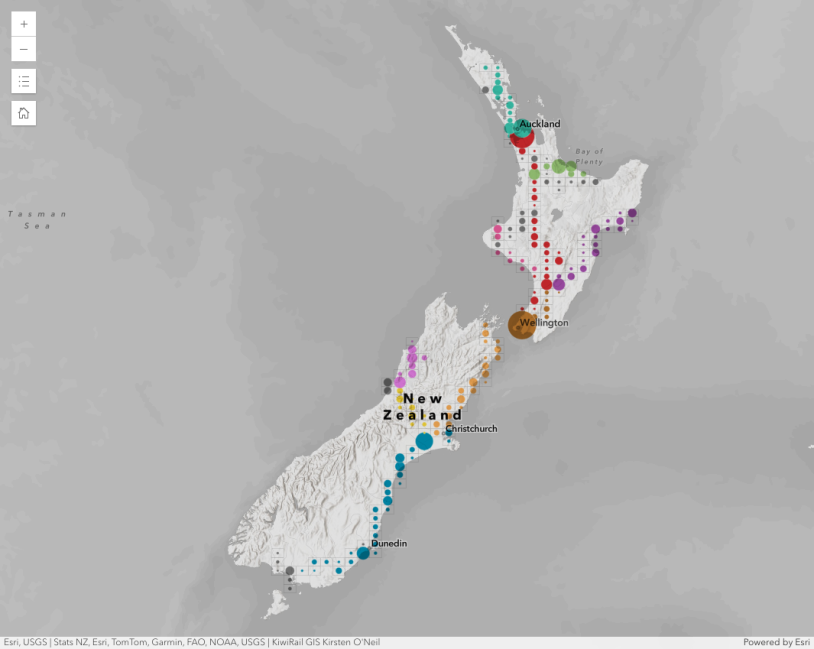
Binning polylines
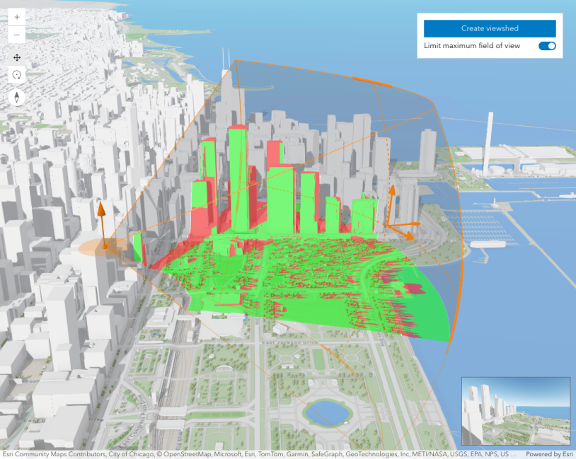
Interactive viewshed analysis
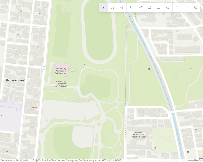
Sketch component
Showcase
See how to combine functionality into interactive and compelling applications.
Tutorials
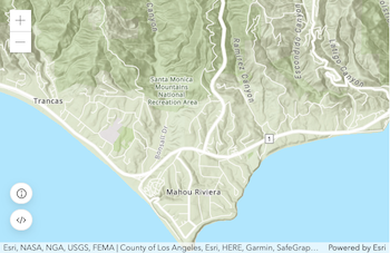
Display a map
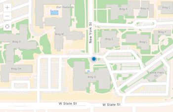
Display your location
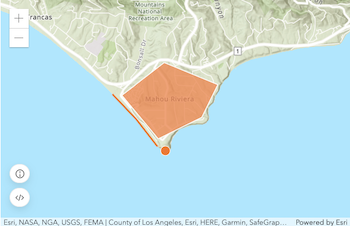
Add a point, line, and polyline
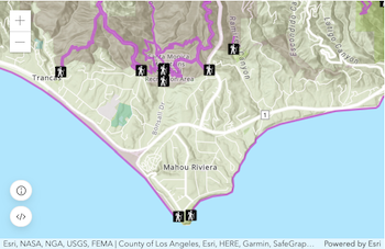
Add a feature layer
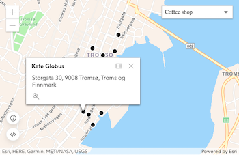
Find places
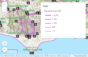
Display a web map
Blog

ArcGIS Maps SDK for JavaScript: What’s New in 5.0
Version 5.0 is here! Discover the new AI assistant component, true curves for the web, and more exciting …
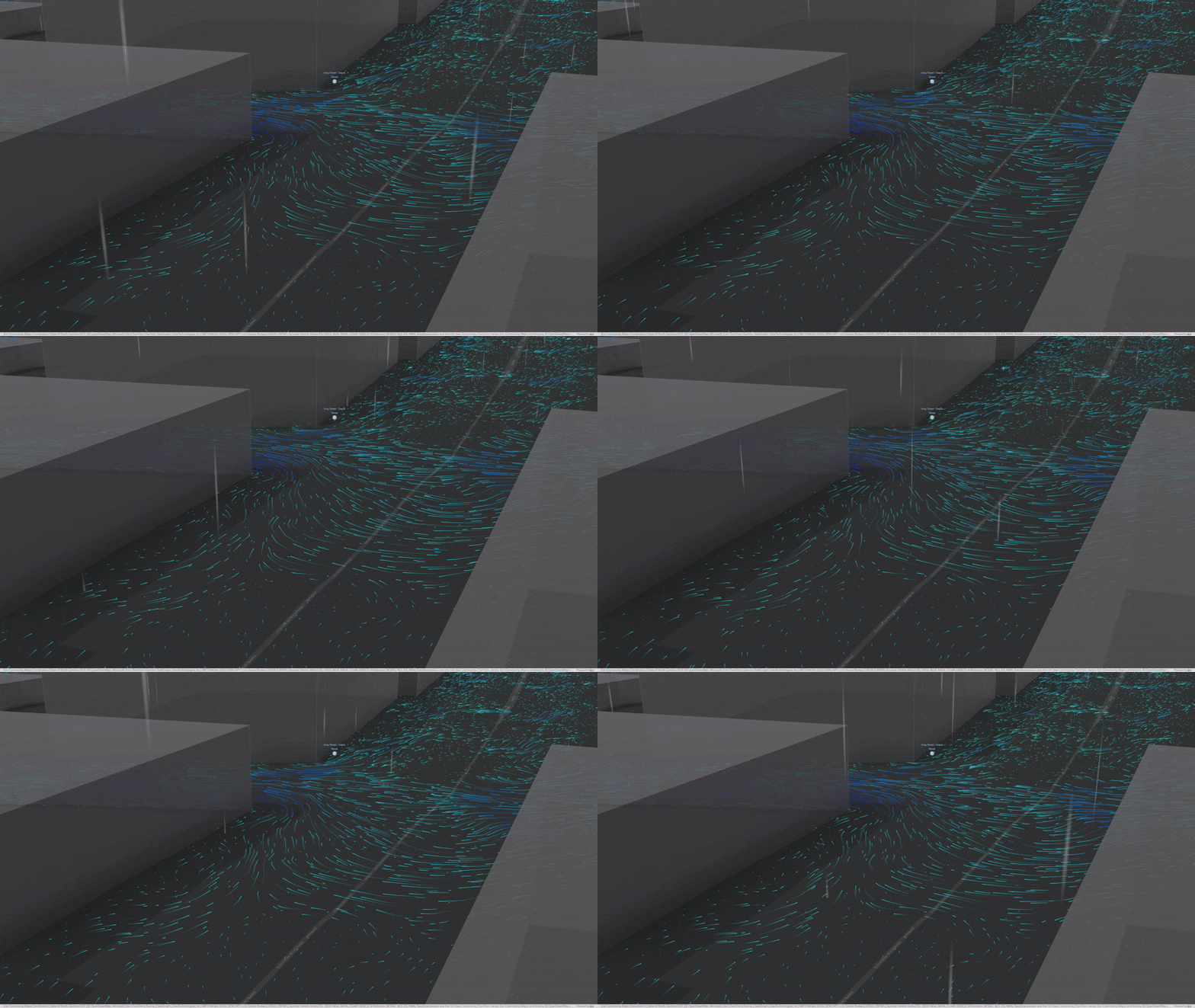
Visualizing Flood Simulations: from ArcGIS Pro to the Web with Flow Rendering
Simulate extreme floods in ArcGIS Pro and bring results to the web with FlowRenderer for intuitive 3D visualization of water movement and …
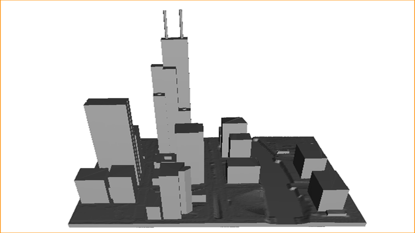
3D Print a City using ArcGIS City Download Portal: Creation and export of a 3D Object Feature Layer
A hands-on guide to turn open Overture building data into printable 3D city models using the ArcGIS …