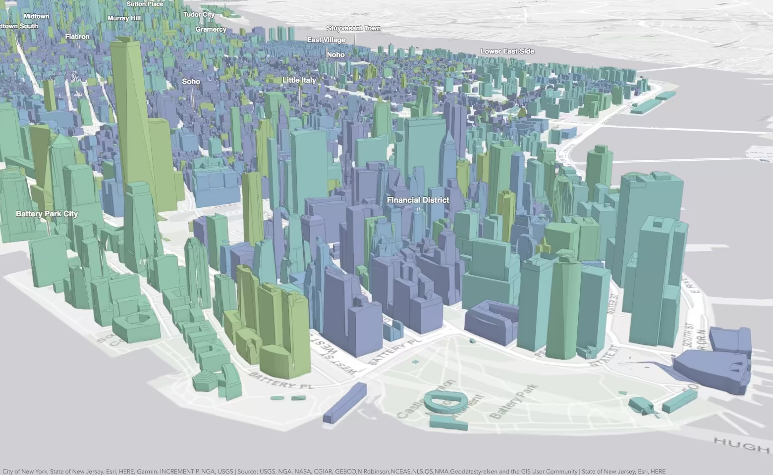
Manhattan Skyscraper Explorer
Explore Manhattan’s tallest buildings in 3D
What it does
Buildings are visualized in 3D and allow you to virtually explore Manhattan. Using the interactive charts and filters you can single out construction time periods to study the expansion of Manhattan, or view buildings with the shortest or tallest height. Selecting a building displays Wikipedia information about the building in a popup.
Under the hood
Buildings are thematically colored based on construction year so that users can identify the areas with newer or older buildings, and discover which buildings were built in the same period.
To keep map and chart in sync, selecting a building in the chart opens its popup, which highlights the building and synchronizes the camera.
3D buildings are made visible or hidden by filtering using the height or year built.
A search component is configured to use the buildings layer as a source and enables users to search for a building by name.