There are a number of ways to get started to develop with ArcGIS Maps SDK for Flutter. If you are new, follow the steps below to get started with Flutter and Visual Studio Code.
1. Sign up for an account
To use ArcGIS Maps SDK for Flutter to access content
If you do not have an account, select one of the options below:
To join an existing ArcGIS organization, request an account from your ArcGIS Online
2. Get the SDK and dependencies
Install Flutter:
- Choose a supported development platform to get started. ArcGIS Maps SDK for Flutter supports macOS or Windows as a development platform.
- Select a target platform (iOS or Android).
- Follow the instructions.
Get the ArcGIS Maps SDK for Flutter:
Inside of VS Code’s terminal
- Run:
dart pub add arcgis_maps. - Run:
flutter pub upgrade. - Lastly, run
dart run arcgis_maps install.
3. Choose a type of authentication
To access secure ArcGIS services and resources, you need to implement authentication. The easiest way to get started is to obtain an access token
4. Create your first mapping application
Follow step-by-step instructions in the Display a map tutorial to create your first mapping application. The following snippet shows the main code in the tutorial to display a map:
// Authenticate your application using a supported method:// - API key authentication// - User authentication
@overrideWidget build(BuildContext context) {  return Scaffold(    // Add a map view to the widget tree and set a controller and a map with a basemap style.    body: ArcGISMapView(      controllerProvider: () => ArcGISMapView.createController()        // Creates a map with the topographic basemap style.        ..arcGISMap = ArcGISMap.withBasemapStyle(BasemapStyle.arcGISTopographic),    ),  );}
Once you are done building your application, make sure to license it before deploying to production. For more information, see License and deployment topic for details.
5. Find more tutorials
Go to the tutorials to create and run applications to perform different operations.
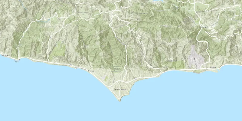
Display a map
Create a map that uses a basemap service layer and zoom to a specified location.

Add a point, line, and polygon
Learn how to display a point, line, and polygon on a map.
6. Explore the samples
Go to the samples to learn how to perform more tasks with the API.
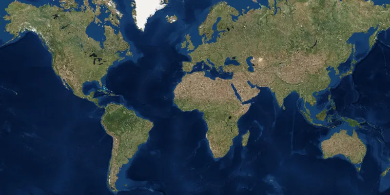
Display map
Display a map with an imagery basemap.

Display a scene
Display a scene with a terrain surface and some imagery.

Show device location
Display your current position on the map, as well as switch between different types of auto pan modes.
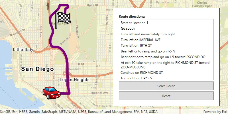
Find route
Display directions for a route between two points.