Rotate a map.
Use case
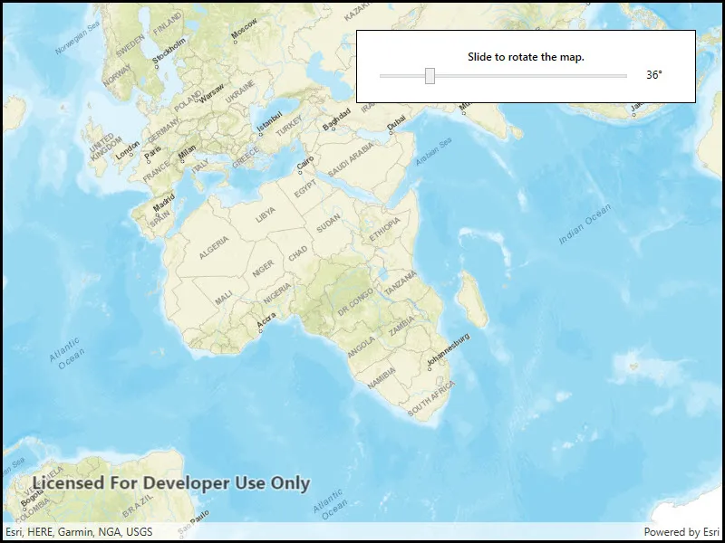
A user may wish to view the map in an orientation other than north-facing.
How to use the sample
Use the slider to rotate the map.
How it works
- Instantiate an
Mapobject. - Set the map in the
MapViewobject. - Use
SetViewpointRotationAsyncto indicate the rotation angle.
Relevant API
- Compass
- Map
- MapView
Tags
rotate, rotation, viewpoint
Sample code
// Copyright 2016 Esri.//// Licensed under the Apache License, Version 2.0 (the "License"); you may not use this file except in compliance with the License.// You may obtain a copy of the License at: http://www.apache.org/licenses/LICENSE-2.0//// Unless required by applicable law or agreed to in writing, software distributed under the License is distributed on an// "AS IS" BASIS, WITHOUT WARRANTIES OR CONDITIONS OF ANY KIND, either express or implied. See the License for the specific// language governing permissions and limitations under the License.
using Esri.ArcGISRuntime.Mapping;using System.Windows;
namespace ArcGIS.WPF.Samples.MapRotation{    [ArcGIS.Samples.Shared.Attributes.Sample(        name: "Map rotation",        category: "MapView",        description: "Rotate a map.",        instructions: "Use the slider to rotate the map.",        tags: new[] { "rotate", "rotation", "viewpoint" })]    public partial class MapRotation    {        public MapRotation()        {            InitializeComponent();
            Initialize();        }
        private void Initialize()        {            // Show a new map with a streets basemap.            MyMapView.Map = new Map(BasemapStyle.ArcGISStreets);        }
        private void MySlider_ValueChanged(object sender, RoutedPropertyChangedEventArgs<double> e)        {            // Display the rotation value in the Label formatted nicely with degree symbol.            MyLabel.Text = string.Format("{0:0}\u00b0", MySlider.Value);
// Set the MapView rotation to that of the Slider. MyMapView.SetViewpointRotationAsync(e.NewValue); } }}<UserControl x:Class="ArcGIS.WPF.Samples.MapRotation.MapRotation" xmlns="http://schemas.microsoft.com/winfx/2006/xaml/presentation" xmlns:x="http://schemas.microsoft.com/winfx/2006/xaml" xmlns:esri="http://schemas.esri.com/arcgis/runtime/2013"> <Grid> <esri:MapView x:Name="MyMapView" /> <Border Style="{StaticResource BorderStyle}"> <Grid> <Grid.RowDefinitions> <RowDefinition Height="Auto" /> <RowDefinition Height="Auto" /> </Grid.RowDefinitions> <Grid.ColumnDefinitions> <ColumnDefinition Width="*" /> <ColumnDefinition Width="50" /> </Grid.ColumnDefinitions> <TextBlock Grid.Row="0" Grid.Column="0" Grid.ColumnSpan="2" FontWeight="SemiBold" Text="Slide to rotate the map." TextAlignment="Center" /> <Slider x:Name="MySlider" Grid.Row="1" Grid.Column="0" Margin="0,5,0,0" VerticalAlignment="Center" Maximum="180" Minimum="0" ValueChanged="MySlider_ValueChanged" Value="0" /> <TextBlock x:Name="MyLabel" Grid.Row="1" Grid.Column="1" Padding="0,2,0,0" VerticalAlignment="Center" Text="0°" TextAlignment="Center" /> </Grid> </Border> </Grid></UserControl>