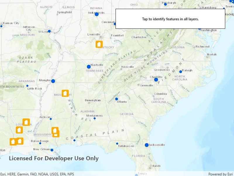
Identify features in all layers in a map.
Use case
IdentifyLayers allows users to click on a map, returning features at that location across multiple layers. Because some layer types have sublayers, the sample recursively counts results for sublayers within each layer.
How to use the sample
Tap to identify features. An alert will show all layers with features under the cursor, as well as a layer count.
How it works
- The tapped position is passed to
MapView.IdentifyLayersAsync - For each
IdentifyLayerResultin the results, features are counted.- Note: there is one identify result per layer with matching features; if the feature count is 0, that means a sublayer contains the matching features.
Relevant API
- IdentifyLayerResult
- IdentifyLayerResult.LayerContent.Name
- IdentifyLayerResult.SublayerResults
- MapView.IdentifyLayersAsync
Additional information
The GeoView supports two methods of identify: IdentifyLayerAsync(), which identifies features within a specific layer and IdentifyLayersAsync(), which identifies features for all layers in the current view.
Tags
identify, recursion, recursive, sublayers
Sample code
// Copyright 2018 Esri.//// Licensed under the Apache License, Version 2.0 (the "License"); you may not use this file except in compliance with the License.// You may obtain a copy of the License at: http://www.apache.org/licenses/LICENSE-2.0//// Unless required by applicable law or agreed to in writing, software distributed under the License is distributed on an// "AS IS" BASIS, WITHOUT WARRANTIES OR CONDITIONS OF ANY KIND, either express or implied. See the License for the specific// language governing permissions and limitations under the License.
using Esri.ArcGISRuntime.Data;using Esri.ArcGISRuntime.Geometry;using Esri.ArcGISRuntime.Mapping;using Esri.ArcGISRuntime.UI.Controls;using System;using System.Collections.Generic;using System.Threading.Tasks;using System.Windows;
namespace ArcGIS.WPF.Samples.IdentifyLayers{    [ArcGIS.Samples.Shared.Attributes.Sample(        name: "Identify layers",        category: "MapView",        description: "Identify features in all layers in a map.",        instructions: "Tap to identify features. An alert will show all layers with features under the cursor, as well as a layer count.",        tags: new[] { "identify", "recursion", "recursive", "sublayers" })]    public partial class IdentifyLayers    {        public IdentifyLayers()        {            InitializeComponent();            _ = Initialize();        }
        private async Task Initialize()        {            // Create a map with an initial viewpoint.            Map myMap = new Map(BasemapStyle.ArcGISTopographic);            myMap.InitialViewpoint = new Viewpoint(new MapPoint(-10977012.785807, 4514257.550369, SpatialReference.Create(3857)), 68015210);            MyMapView.Map = myMap;
            try            {                // Add a map image layer to the map after turning off two sublayers.                ArcGISMapImageLayer cityLayer = new ArcGISMapImageLayer(new Uri("https://sampleserver6.arcgisonline.com/arcgis/rest/services/SampleWorldCities/MapServer"));                await cityLayer.LoadAsync();                cityLayer.Sublayers[1].IsVisible = false;                cityLayer.Sublayers[2].IsVisible = false;                myMap.OperationalLayers.Add(cityLayer);
                // Add a feature layer to the map.                FeatureLayer damageLayer = new FeatureLayer(new Uri("https://sampleserver6.arcgisonline.com/arcgis/rest/services/DamageAssessment/FeatureServer/0"));                myMap.OperationalLayers.Add(damageLayer);
                // Listen for taps/clicks to start the identify operation.                MyMapView.GeoViewTapped += MyMapView_GeoViewTapped;            }            catch (Exception e)            {                MessageBox.Show(e.ToString(), "Error");            }        }
        private async void MyMapView_GeoViewTapped(object sender, GeoViewInputEventArgs e)        {            try            {                // Perform an identify across all layers, taking up to 10 results per layer.                IReadOnlyList<IdentifyLayerResult> identifyResults = await MyMapView.IdentifyLayersAsync(e.Position, 15, false, 10);
                // Add a line to the output for each layer, with a count of features in the layer.                string result = "";                foreach (IdentifyLayerResult layerResult in identifyResults)                {                    // Note: because some layers have sublayers, a recursive function is required to count results.                    result = result + layerResult.LayerContent.Name + ": " + recursivelyCountIdentifyResultsForSublayers(layerResult) + "\n";                }
                if (!String.IsNullOrEmpty(result))                {                    MessageBox.Show(result, "Identify layers result");                }            }            catch (Exception ex)            {                MessageBox.Show(ex.ToString(), "Error");            }        }
        private int recursivelyCountIdentifyResultsForSublayers(IdentifyLayerResult result)        {            int sublayerResultCount = 0;            foreach (IdentifyLayerResult res in result.SublayerResults)            {                // This function calls itself to count results on sublayers.                sublayerResultCount += recursivelyCountIdentifyResultsForSublayers(res);            }
return result.GeoElements.Count + sublayerResultCount; } }}<UserControl x:Class="ArcGIS.WPF.Samples.IdentifyLayers.IdentifyLayers" xmlns="http://schemas.microsoft.com/winfx/2006/xaml/presentation" xmlns:x="http://schemas.microsoft.com/winfx/2006/xaml" xmlns:esri="http://schemas.esri.com/arcgis/runtime/2013"> <Grid> <esri:MapView x:Name="MyMapView" /> <Border Style="{StaticResource BorderStyle}"> <Label HorizontalAlignment="Center" Content="Tap to identify features in all layers." FontWeight="SemiBold" /> </Border> </Grid></UserControl>