Load a raster from a service, then apply a function to it.
Use case
Raster functions allow processing operations that can be applied to one or more rasters on the fly. Functions can be applied to rasters that come from a service. A land survey agency may apply hillshade and aspect functions to rasters with elevation data in order to better determine the topography of a landscape and to make further planning decisions.
How to use the sample
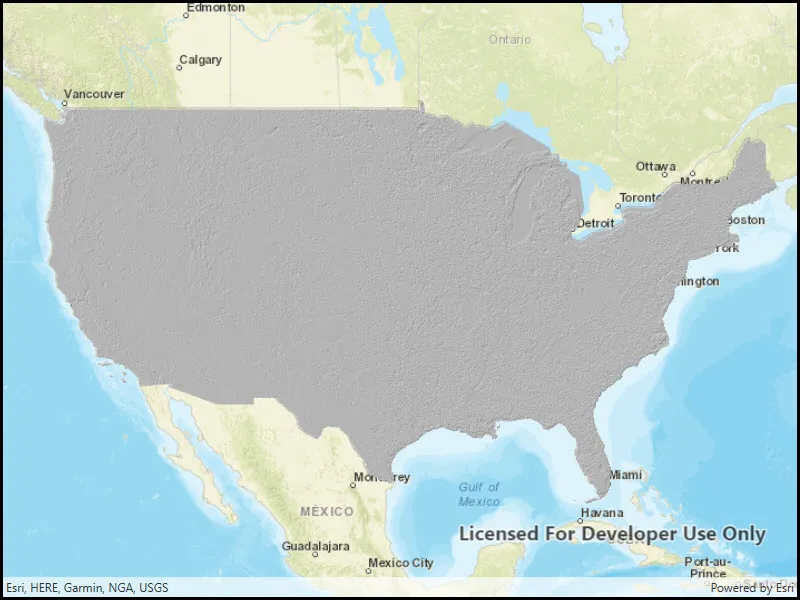
The raster function is applied automatically when the sample starts and the result is displayed.
How it works
- Create the
ImageServiceRasterreferring to the image server URL. - Create the
RasterFunctionfrom a JSON string. - Get the name of the raster argument to the function with
rasterFunction.Arguments.GetRasterNames().First() - Set the raster argument with
rasterFunction.SetRaster(rasterName, imageServiceRaster). - Create a new
Rasterreferring to the raster function. - Create a
RasterLayerto visualize the computed raster. - Display the raster.
Relevant API
- ImageServiceRaster
- Raster
- RasterFunction
- RasterFunctionArguments
- RasterLayer
About the data
The sample applies a hillshade function to a raster produced from the National Land Cover Database, NLCDLandCover2001. You can learn more about the hillshade function in the ArcGIS Pro documentation.
Additional information
The raster function computation happens locally on the client device.
Tags
function, layer, raster, raster function, service
Sample code
// Copyright 2017 Esri.//// Licensed under the Apache License, Version 2.0 (the "License"); you may not use this file except in compliance with the License.// You may obtain a copy of the License at: http://www.apache.org/licenses/LICENSE-2.0//// Unless required by applicable law or agreed to in writing, software distributed under the License is distributed on an// "AS IS" BASIS, WITHOUT WARRANTIES OR CONDITIONS OF ANY KIND, either express or implied. See the License for the specific// language governing permissions and limitations under the License.
using Esri.ArcGISRuntime.ArcGISServices;using Esri.ArcGISRuntime.Mapping;using Esri.ArcGISRuntime.Rasters;using System;using System.Collections.Generic;using System.Threading.Tasks;using System.Windows;
namespace ArcGIS.WPF.Samples.RasterLayerRasterFunction{    [ArcGIS.Samples.Shared.Attributes.Sample(        name: "Apply raster function to raster from service",        category: "Layers",        description: "Load a raster from a service, then apply a function to it.",        instructions: "The raster function is applied automatically when the sample starts and the result is displayed.",        tags: new[] { "function", "layer", "raster", "raster function", "service" })]    public partial class RasterLayerRasterFunction    {        public RasterLayerRasterFunction()        {            InitializeComponent();
            // Create the UI, setup the control references and execute initialization            _ = Initialize();        }
        private async Task Initialize()        {            // Create new map with the streets basemap            Map myMap = new Map(BasemapStyle.ArcGISStreets);
            // Create a Uri to the image service raster            Uri myUri = new Uri("https://sampleserver6.arcgisonline.com/arcgis/rest/services/NLCDLandCover2001/ImageServer");
            // Create new image service raster from the Uri            ImageServiceRaster myImageServiceRaster = new ImageServiceRaster(myUri);
            try            {                // Load the image service raster                await myImageServiceRaster.LoadAsync();
                // NOTE: This is the ASCII text for actual raw JSON string:                // ========================================================                //{                //  "raster_function_arguments":                //  {                //    "z_factor":{"double":25.0,"type":"Raster_function_variable"},                //    "slope_type":{"raster_slope_type":"none","type":"Raster_function_variable"},                //    "azimuth":{"double":315,"type":"Raster_function_variable"},                //    "altitude":{"double":45,"type":"Raster_function_variable"},                //    "type":"Raster_function_arguments",                //    "raster":{"name":"raster","is_raster":true,"type":"Raster_function_variable"},                //    "nbits":{"int":8,"type":"Raster_function_variable"}                //  },                //  "raster_function":{"type":"Hillshade_function"},                //  "type":"Raster_function_template"                //}
                // Define the JSON string needed for the raster function                string theJSON_String =                    @"{                ""raster_function_arguments"":                {                  ""z_factor"":{ ""double"":25.0,""type"":""Raster_function_variable""},                  ""slope_type"":{ ""raster_slope_type"":""none"",""type"":""Raster_function_variable""},                  ""azimuth"":{ ""double"":315,""type"":""Raster_function_variable""},                  ""altitude"":{ ""double"":45,""type"":""Raster_function_variable""},                  ""type"":""Raster_function_arguments"",                  ""raster"":{ ""name"":""raster"",""is_raster"":true,""type"":""Raster_function_variable""},                  ""nbits"":{ ""int"":8,""type"":""Raster_function_variable""}                },              ""raster_function"":{ ""type"":""Hillshade_function""},              ""type"":""Raster_function_template""            }";
                // Create a raster function from the JSON string using the static/Shared method called: RasterFunction.FromJson(json as String)                RasterFunction myRasterFunction = RasterFunction.FromJson(theJSON_String);
                // NOTE: Depending on your platform/device, you could have alternatively created the raster function via a JSON string that is contained in a                // file on disk (ex: hillshade_simplified.json) via the constructor: Esri.ArcGISRuntime.Rasters.RasterFunction(path as String)
                // Get the raster function arguments                RasterFunctionArguments myRasterFunctionArguments = myRasterFunction.Arguments;
                // Get the list of names from the raster function arguments                IReadOnlyList<string> myRasterNames = myRasterFunctionArguments.GetRasterNames();
                // Apply the first raster name and image service raster in the raster function arguments                myRasterFunctionArguments.SetRaster(myRasterNames[0], myImageServiceRaster);
                // Create a new raster based on the raster function                Raster myRaster = new Raster(myRasterFunction);
                // Create a new raster layer from the raster                RasterLayer myRasterLayer = new RasterLayer(myRaster);
                // Add the raster layer to the maps layer collection                myMap.OperationalLayers.Add(myRasterLayer);
                // Assign the map to the map view                MyMapView.Map = myMap;
                // Get the service information (aka. metadata) about the image service raster                ArcGISImageServiceInfo myArcGISImageServiceInfo = myImageServiceRaster.ServiceInfo;
// Zoom the map to the extent of the image service raster (which also the extent of the raster layer) await MyMapView.SetViewpointGeometryAsync(myArcGISImageServiceInfo.FullExtent); } catch (Exception e) { MessageBox.Show(e.ToString(), "Error"); } } }}<UserControl x:Class="ArcGIS.WPF.Samples.RasterLayerRasterFunction.RasterLayerRasterFunction" xmlns="http://schemas.microsoft.com/winfx/2006/xaml/presentation" xmlns:x="http://schemas.microsoft.com/winfx/2006/xaml" xmlns:esri="http://schemas.esri.com/arcgis/runtime/2013"> <Grid> <esri:MapView x:Name="MyMapView" /> </Grid></UserControl>