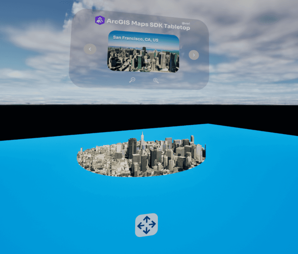
Allows users to view the world using a tabletop map and explore different landmarks.
How to use the sample
- Prior to opening the project, ensure your VR headset is connected and any required software is running (SteamVR, Oculus, Vive Streaming Hub).
- Open the XRTabletop level.
- Click on the ArcGISMapActor in the Outliner panel.
- Set your API key under the Authentication section in the Details panel.
- If the play mode is not set to VR Preview, click on the 3 dots beside the play button and select VR Preview, otherwise just hit play.
How it works
- Use the XRTabletopComponent, attached to the ArcGIS Map actor for setting up the Tabletop.
- bp_XRTableTopInteractorPawn is used to pan and zoom the map and to move the entire map to a different location.
- Use the bp_LoadData to specify different landmark locations and the corresponding configurations for extent size and elevation offset.
- Using the interface wbp_TableTopUI, user can switch between the preset locations.
About the data
Building models for San Francisco are loaded from a 3D object scene layer hosted by Esri.
Integrated mesh layer for Girona, Spain is loaded from Integrated Mesh Layer hosted by Esri.
Building model for Christchurch, New Zealand is loaded from a Building Scene Layer hosted by Esri.
Building models for New York are loaded from a 3D object scene layer hosted by Esri.
Elevation data is loaded from the Terrain 3D elevation layer hosted by Esri.
Tags
exploration, tabletop map, virtual reality, extended reality