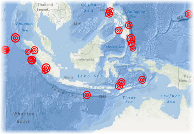
This example shows how a web map can display data from a comma-separated value (CSV) file as an operational layer. In this case, the CSV comes from the United States Geological Survey (USGS) feed of earthquakes within the past seven days.
In this example, the CSV is referenced directly from the web, and its features are brought into the map at the time the map loads. To store the features in the map itself, you can use a featureCollection, but this is not as useful for real-time feeds.
A few fields from the data have been selected to display in a pop-up window when a user clicks an earthquake.
