Load a raster from a service, then apply a function to it.
Use case
Raster functions allow processing operations that can be applied to one or more rasters on the fly. Functions can be applied to rasters that come from a service. A land survey agency may apply hillshade and aspect functions to rasters with elevation data in order to better determine the topography of a landscape and to make further planning decisions.
How to use the sample
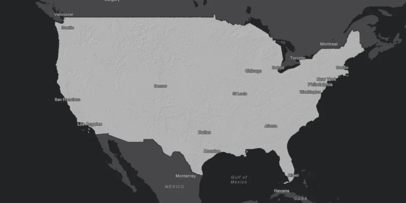
Pan and zoom to explore the raster function applied to the raster layer.
How it works
- Create the
ImageServiceRasterreferring to the image server URL. - Create the
RasterFunctionfrom a JSON string. - Get the arguments of the raster function with
rasterFunction.getArguments(). - Get the names of the raster arguments with
rasterFunctionArguments.getRasterNames(). - Set the raster argument with
rasterFunction.setRaster(rasterName, imageServiceRaster). - Create a new
Rasterreferring to the raster function. - Create a
RasterLayerto visualize the computed raster. - Display the raster.
Relevant API
- ImageServiceRaster
- Raster
- RasterFunction
- RasterFunctionArguments
- RasterLayer
About the data
The sample applies a hillshade function to a raster produced from the National Land Cover Database, NLCDLandCover2001. You can learn more about the hillshade function in the ArcMap documentation.
Additional information
The raster function computation happens locally on the client device.
Tags
function, layer, raster, raster function, service
Sample code
/* * Copyright 2017 Esri. * * Licensed under the Apache License, Version 2.0 (the "License"); you may not * use this file except in compliance with the License. You may obtain a copy of * the License at * * http://www.apache.org/licenses/LICENSE-2.0 * * Unless required by applicable law or agreed to in writing, software * distributed under the License is distributed on an "AS IS" BASIS, WITHOUT * WARRANTIES OR CONDITIONS OF ANY KIND, either express or implied. See the * License for the specific language governing permissions and limitations under * the License. */
package com.esri.samples.raster_function;
import java.io.File;import java.io.FileNotFoundException;import java.util.Scanner;
import javafx.application.Application;import javafx.scene.Scene;import javafx.scene.control.Alert;import javafx.scene.layout.StackPane;import javafx.stage.Stage;
import com.esri.arcgisruntime.ArcGISRuntimeEnvironment;import com.esri.arcgisruntime.layers.RasterLayer;import com.esri.arcgisruntime.loadable.LoadStatus;import com.esri.arcgisruntime.mapping.ArcGISMap;import com.esri.arcgisruntime.mapping.BasemapStyle;import com.esri.arcgisruntime.mapping.view.MapView;import com.esri.arcgisruntime.raster.ImageServiceRaster;import com.esri.arcgisruntime.raster.Raster;import com.esri.arcgisruntime.raster.RasterFunction;import com.esri.arcgisruntime.raster.RasterFunctionArguments;
public class RasterFunctionSample extends Application {
  private ImageServiceRaster imageServiceRaster; // keep loadables in scope to avoid garbage collection  private MapView mapView;
  @Override  public void start(Stage stage) {
    try {      // create stack pane and application scene      StackPane stackPane = new StackPane();      Scene scene = new Scene(stackPane);
      // set title, size, and add scene to stage      stage.setTitle("Raster Function Sample");      stage.setWidth(800);      stage.setHeight(700);      stage.setScene(scene);      stage.show();
      // authentication with an API key or named user is required to access basemaps and other location services      String yourAPIKey = System.getProperty("apiKey");      ArcGISRuntimeEnvironment.setApiKey(yourAPIKey);
      // create a map with the dark gray basemap style      ArcGISMap map = new ArcGISMap(BasemapStyle.ARCGIS_DARK_GRAY);
      // create a map view and set the map to it      mapView = new MapView();      mapView.setMap(map);
      // create an image service raster from an online raster service      imageServiceRaster = new ImageServiceRaster("https://sampleserver6.arcgisonline" +          ".com/arcgis/rest/services/NLCDLandCover2001/ImageServer");      imageServiceRaster.loadAsync();      imageServiceRaster.addDoneLoadingListener(() -> {
          if (imageServiceRaster.getLoadStatus() == LoadStatus.LOADED) {            // create raster function from local json file            File jsonFile = new File(System.getProperty("data.dir"), "./samples-data/raster/hillshade_simplified.json");            try (Scanner scanner = new Scanner(jsonFile)) {              // read in the complete file as a string              String json = scanner.useDelimiter("\\A").next();              RasterFunction rasterFunction = RasterFunction.fromJson(json);              RasterFunctionArguments arguments = rasterFunction.getArguments();              // apply the raster function              arguments.setRaster(arguments.getRasterNames().get(0), imageServiceRaster);              // create a new raster from the function definition              Raster raster = new Raster(rasterFunction);              // create raster layer and add to map as operational layer              RasterLayer hillshadeLayer = new RasterLayer(raster);              // add the hillshade raster layer to the map              map.getOperationalLayers().add(hillshadeLayer);              hillshadeLayer.addDoneLoadingListener(() -> {                if (hillshadeLayer.getLoadStatus() == LoadStatus.LOADED) {                  // set viewpoint on the raster                  mapView.setViewpointGeometryAsync(hillshadeLayer.getFullExtent(), 150);                } else {                  Alert alert = new Alert(Alert.AlertType.ERROR, "Failed to load the hillshade raster layer");                  alert.show();                }              });            } catch (FileNotFoundException e) {              Alert alert = new Alert(Alert.AlertType.ERROR, "Failed to locate raster function json");              alert.show();            }          } else {            Alert alert = new Alert(Alert.AlertType.ERROR, "Failed to load image service raster");            alert.show();          }
      });
      // add the map view to stack pane      stackPane.getChildren().addAll(mapView);    } catch (Exception e) {      // on any error, display the stack trace.      e.printStackTrace();    }  }
  /**   * Stops and releases all resources used in application.   */  @Override  public void stop() {
    if (mapView != null) {      mapView.dispose();    }  }
  /**   * Opens and runs application.   *   * @param args arguments passed to this application   */  public static void main(String[] args) {
    Application.launch(args);  }
}