Load an ArcGIS Vector Tiled Layer from a URL.
Use case
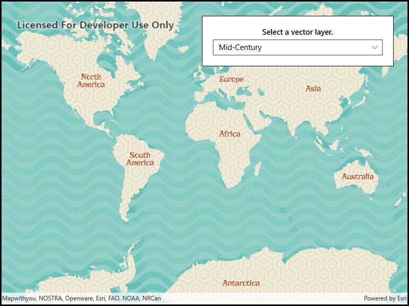
Vector tile basemaps can be created in ArcGIS Pro and published as offline packages or online services. ArcGISVectorTiledLayer has many advantages over traditional raster based basemaps (ArcGISTiledLayer), including smooth scaling between different screen DPIs, smaller package sizes, and the ability to rotate symbols and labels dynamically.
How to use the sample
Use the drop down menu to load different vector tile basemaps.
How it works
- An
ArcGISVectorTiledLayeris constructed with an ArcGIS Online service URL - The layer instance is added to the
Map
Relevant API
- ArcGISVectorTiledLayer
- Basemap
Tags
tiles, vector, vector basemap, vector tiled layer, vector tiles
Sample Code
<UserControl x:Class="ArcGIS.UWP.Samples.ArcGISVectorTiledLayerUrl.ArcGISVectorTiledLayerUrl"
xmlns="http://schemas.microsoft.com/winfx/2006/xaml/presentation"
xmlns:x="http://schemas.microsoft.com/winfx/2006/xaml"
xmlns:esriUI="using:Esri.ArcGISRuntime.UI.Controls">
<Grid>
<esriUI:MapView x:Name="MyMapView" />
<Border Style="{StaticResource BorderStyle}">
<StackPanel>
<TextBlock Text="Select a vector layer."
HorizontalAlignment="Center"
FontWeight="SemiBold"
Margin="0,0,0,5"
TextWrapping="Wrap" />
<ComboBox x:Name="VectorLayerChooser"
HorizontalAlignment="Stretch"
SelectionChanged="OnVectorLayersChooserSelectionChanged" />
</StackPanel>
</Border>
</Grid>
</UserControl>