Display features from a local GeoPackage.
Use case
A GeoPackage is an OGC standard, making it useful when your project requires an open source data format or when other, non-ArcGIS systems may be creating the data. Accessing data from a local GeoPackage is useful when working in an environment that has an inconsistent internet connection or that does not have an internet connection at all. For example, a department of transportation field worker might source map data from a GeoPackage when conducting signage inspections in rural areas with poor network coverage.
How to use the sample
Pan and zoom around the map. View the data loaded from the geopackage.
How it works
- Create a
GeoPackagepassing the URI string into the constructor. - Load the
GeoPackagewithGeoPackage.loadAsync - When it's done loading, get the
GeoPackageFeatureTableobjects from the geopackage withgeoPackage.getGeoPackageFeatureTables() - Create a
FeatureLayer(featureTable)for each feature table and add it to the map as an operational layer. Add each to the map as an operational layer withmap.OperationalLayers.Add(featureLayer).
Relevant API
- Map
- FeatureLayer
- GeoPackage
- GeoPackageFeatureTable
Offline data
This sample downloads the following items from ArcGIS Online automatically:
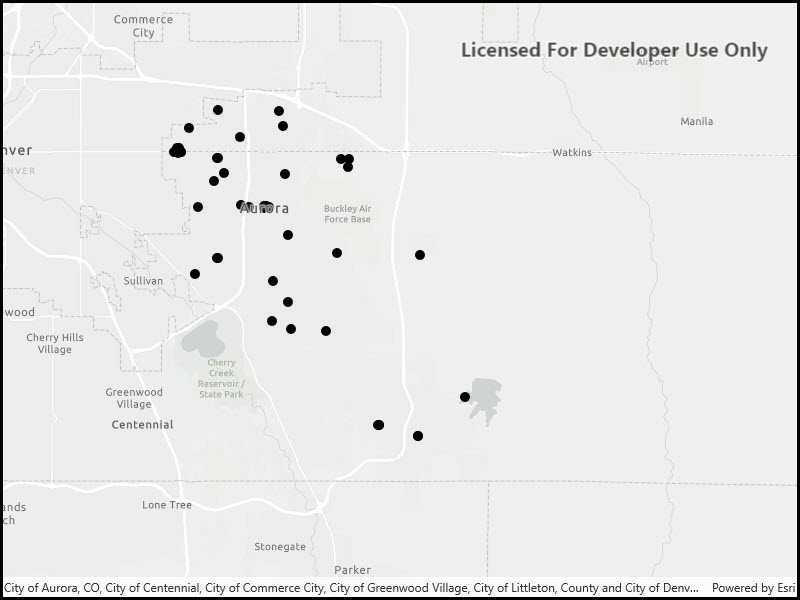
- Aurora, Colorado GeoPackage - GeoPackage with datasets that cover Aurora Colorado: Public art (points), Bike trails (lines), and Subdivisions (polygons), Airport noise (raster), Buildings (raster).
Tags
feature table, geopackage, gpkg, OGC, package, standards
Sample Code
<UserControl
x:Class="ArcGIS.UWP.Samples.FeatureLayerGeoPackage.FeatureLayerGeoPackage"
xmlns="http://schemas.microsoft.com/winfx/2006/xaml/presentation"
xmlns:x="http://schemas.microsoft.com/winfx/2006/xaml"
xmlns:esriUI="using:Esri.ArcGISRuntime.UI.Controls" >
<esriUI:MapView x:Name="MyMapView" />
</UserControl>