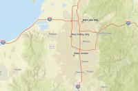
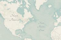
The ArcGIS Basemap Styles service is a location service that provides basemap styles and data for the world. They can offer features and labels for land, water, roads, buildings, cities, places, and administrative boundaries, as well as satellite imagery. There are many styles to choose from, which can be modified by adjusting style preferences such as language and worldview. Each basemap style delivers high-quality geographic data and visualization for maps.
The ArcGIS Basemap Styles service is typically used by modern APIs that support WebGL and dynamic rendering at all zoom levels. The service can return styles in JSON format based on either the Mapbox Style Specification (v8) or the ArcGIS Web Map Specification, as specified by styles/v2/styles and styles/v2/webmaps, respectively. The Mapbox Style Specification is typically accessed by open source libraries such as MapLibre GL JS, whereas the ArcGIS Web Map Specification is usually accessed by clients built with ArcGIS Maps SDKs. The data provided by the service supports the Web Mercator spatial reference.
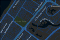
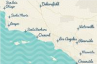
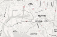
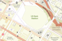
The service supports two families of styles: the ArcGIS Basemap styles and the Open Basemap styles. Examples of the styles include arcgis/streets, arcgis/navigation, arcgis/outdoor, arcgis/imagery (satellite), open/osm-style, and open/streets. ArcGIS Basemap styles have optional query parameters to set style preferences such as language, worldview, and places. A number of Open Basemap styles also support the language style preference. The tile data is returned as vector tiles and/or map tiles depending on the style requested.
The ArcGIS Basemap Styles service also provides access to custom basemap styles. Custom basemap styles are created with the ArcGIS Vector Tile Style Editor based on any ArcGIS Basemap style or an Open Basemap style. For more information, see Custom basemap styles.
The pricing for basemap usage is based on the number of basemap tiles consumed or basemap sessions created. To learn how to implement different basemap usage models, go to Mapping and location services > Mapping > Basemap usage.
Service URL
https://basemapstyles-api.arcgis.com/arcgis/rest/services/styles/v2Requests


Service data
To view the data providers, supported projections, underlying tile services, data coverage, and restrictions, go to Service data.
Pricing
The pricing for basemap usage is based on the number of basemap tiles consumed or basemap sessions created.
To learn how to implement different basemap usage models, go to Mapping and location services > Mapping > Basemap usage.
Price category | ArcGIS Location Platform | ArcGIS Online |
|---|---|---|
| 2 million free basemap tiles consumed per month then $0.15 per 1,000 tiles | Included in subscription | |
| 1,000 free basemap sessions created per month then $4.0 per 1,000 sessions | Not available | |
| $0.0 | 0 credits |
Terms of use
To review the attribution requirements for using ArcGIS services, go to Esri and data attribution.
To review the terms of use that apply to using ArcGIS products, services, and data, go to Esri.com > Esri Legal.