What is Survey123?
ArcGIS Survey123 is a low-code app builder that allows you to create, deploy, and manage data collection surveys across web and mobile platforms. Survey123 provides you with integration capabilities through REST APIs, JavaScript customization options, and webhook infrastructure, enabling connection with existing business systems and automated workflows.
In this chapter, you will learn about the features of Survey123, how to use it, and how to get started.
Why use Survey123?
You use Survey123 to:
- Create surveys to collect data from your users
- Analyze survey results
- Create custom reports
- Integrate survey data with your existing systems
For developers, you can extend Survey123 with the following capabilities:
- ArcGIS REST API for accessing survey data and metadata
- ArcGIS Maps SDK for JavaScript for embedding and customizing surveys in your web applications
- Webhook integration for real-time data processing
- FeatureReport API for custom reporting solutions
- ArcGIS API for Python for automating workflows
Key features
Listed below are the features that support Survey123.
Authoring tools
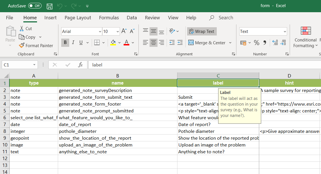
- Survey123 Connect - Desktop application providing full XLSForm authoring with advanced logic, repeat groups, and complex calculations.
- Web Designer - Browser-based drag-and-drop interface for creating surveys with built-in templates, conditional logic, and instant preview.
Survey applications
- Survey123 Field App - Mobile application supporting offline data collection, GPS capture, photo attachments, and barcode scanning. Learn more about about Survey123 Field App in Extend and integrate Survey123 Field App.
- Survey123 Web App - Browser-accessible survey interface optimized for desktop and tablet use. Learn more about about Survey123 Web App in Survey123 Web App.
Management and analysis
- Survey123 website - Central hub for survey management, data analysis, and report generation. Learn more about about Survey123 website in Analyze survey results.
- ArcGIS Online - Cloud-based platform for hosting survey data and analyzing survey results.
- ArcGIS Enterprise - On-premises platform for hosting survey data and analyzing survey results.
Developer options
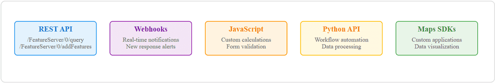
As a developer, you can extend Survey123 functionality to create custom reports, automate workflows, and integrate survey data with your existing systems. Below are the developer options that support Survey123.
| Developer options | Description | Examples |
|---|---|---|
| ArcGIS REST API | ArcGIS REST endpoints to perform tasks like query survey data and create custom reports. | Create custom reports using the featureReport API |
| Webhook notifications | Real-time alerts when new survey responses are submitted. | Automate workflows with Webhooks |
| JavaScript customization | Add custom logic, calculations, and validation to your surveys. | Customize your surveys using JavaScript |
| ArcGIS API for Python | Automate survey workflows, data processing, and report generation using Python. | Create and publish surveys Working with survey data Clone surveys from one organization to another |
| ArcGIS Maps SDKs | Embed and customize survey results in your web, desktop, and mobile applications. | Embed a survey using an iFrame Embed a survey using JavaScript |
AI features
The Survey123 Assistant is a generative AI tool (preview) that enhances survey creation and translation processes. It provides conversational survey design within the web designer and facilitates survey translation in both web designer and Survey123 Connect. The assistant requires administrator configuration and does not consume ArcGIS credits.
Get started
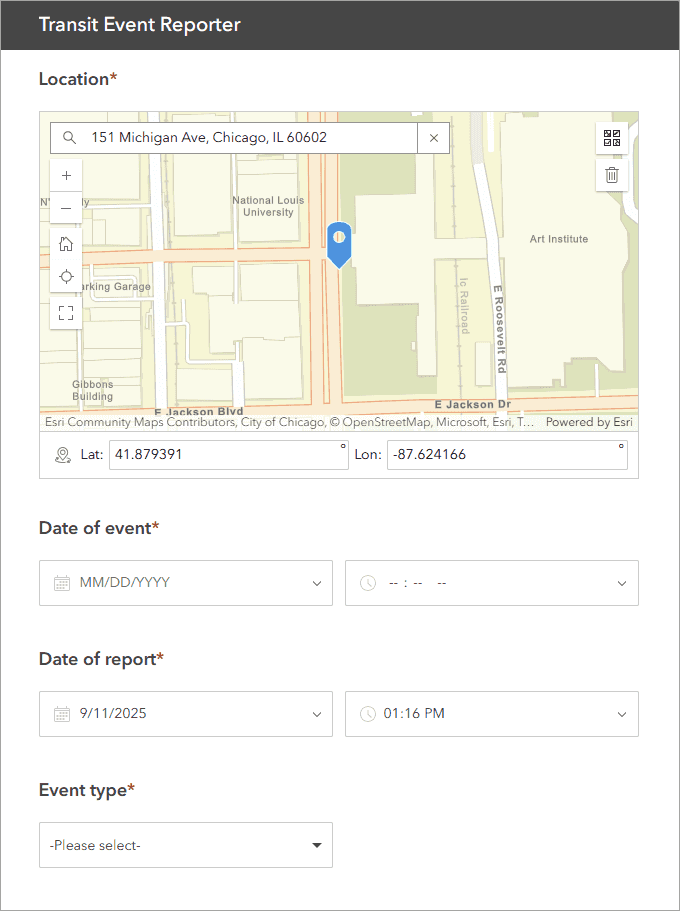
- Create a survey using the web designer or advanced surveys with Connect.
- Add conditional logic and calculations by customizing your survey using JavaScript.
- Analyze survey results using the Analyze tab in the web designer.
- Access survey data to create custom reports using the ArcGIS REST API.
Tutorials
Learn how to create surveys and analyze results using the following tutorials. You can also learn more on extending Survey123 functionality in the tutorials.
Create a simple survey
Learn how to use ArcGIS Survey123 to create a simple survey.
Low-code/no-code
Analyze survey results
Learn how to use ArcGIS Survey123 to analyze survey results.
Low-code/no-code

Create a survey and dashboard for park maintenance
Learn how to integrate ArcGIS Survey123 with ArcGIS Dashboards to create a reporting solution.
Low-code/no-code
Create a smarter, responsive survey
Learn how to create intelligent surveys with conditional logic, hidden fields, and dynamic visibility using ArcGIS Survey123 and XLSForm.
Low-code/no-code
Tools
Use these tools to access your ArcGIS organization and manage content for your surveys.