ArcGIS StoryMaps provides an easy-to-use editor that allows developers to create and customize StoryMaps without needing extensive programming experience.
User friendly experience
The editor is designed to be user-friendly and intuitive, with a drag-and-drop interface that allows developers to easily add and arrange content. Users can create custom layouts for their maps, including adding text boxes, images, and other media to their StoryMaps.
Preconfigured templates
The platform also includes a variety of preconfigured templates that users can use as a starting point for their own StoryMaps. These templates are fully customizable, allowing developers to change the layout, colors, and content to suit their needs.
More than just stories
One of the key features of the ArcGIS StoryMaps editor is its support for geospatial data. Users can easily add maps to their StoryMaps, including custom basemaps and layers. The platform includes a built-in map editor that allows users to create custom maps or import existing data from a variety of sources.
Supported media types
In addition to its map-based features, the ArcGIS StoryMaps editor also includes support for a wide range of other media types. Users can add images, videos, audio files, and other multimedia to their StoryMaps, as well as embed content from external sources such as social media and websites.
Overall, the ArcGIS StoryMaps editor is a powerful yet easy-to-use tool that allows developers to create and share engaging, multimedia-rich stories with minimal coding experience. Its support for geospatial data and other media types makes it a versatile platform for a wide range of storytelling applications.
Tutorials
Use tools to create different types of content and build low-code/no-code applications.
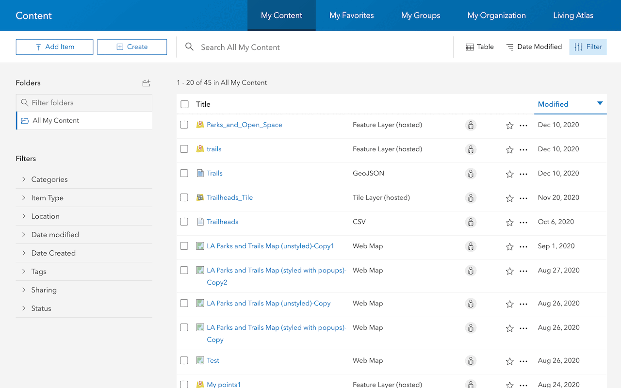
Import data as a feature layer
Use data management tools to import and create hosted feature layers.
ArcGIS Online Location Platform dashboard

Create a web map
Use Map Viewer to create a web map for your application.
Map Viewer

Style layers in a web map
Use Map Viewer to style layers in a web map.
ArcGIS Online Map Viewer
Tools
Use tools to access the ArcGIS organization and create and manage content for your no-code applications.