The ArcGIS Maps SDK for JavaScript
2D symbols
With 2D symbols, you can utilize simple markers, images, lines, fills, and text labels to create visually appealing representations. These classes allow you to configure symbols with basic shapes and patterns:
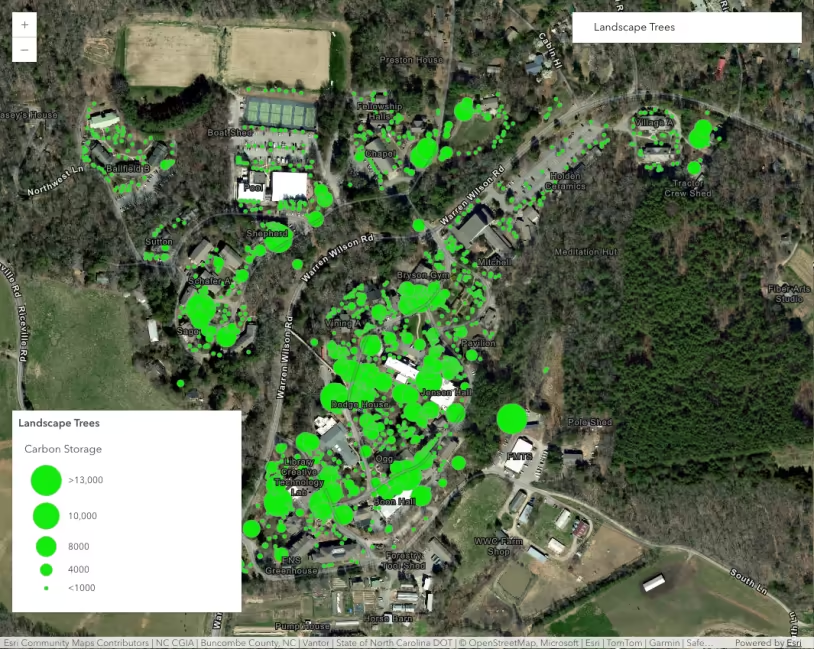
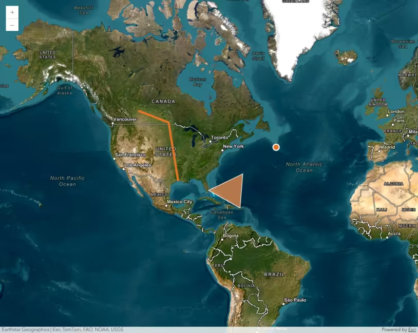
- SimpleMarkerSymbol: Represents point features as simple markers with customizable color, size, style, and outline.
- SimpleLineSymbol: Symbolizes line features with color, width, and style options.
- SimpleFillSymbol: Symbolizes polygon features with customizable fill color, outline color, and style.
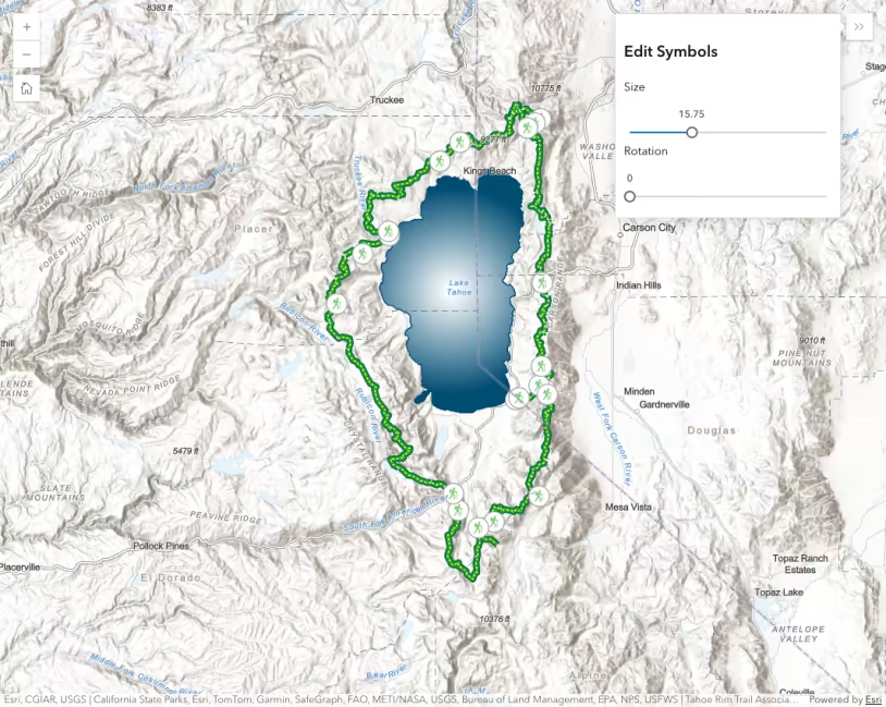
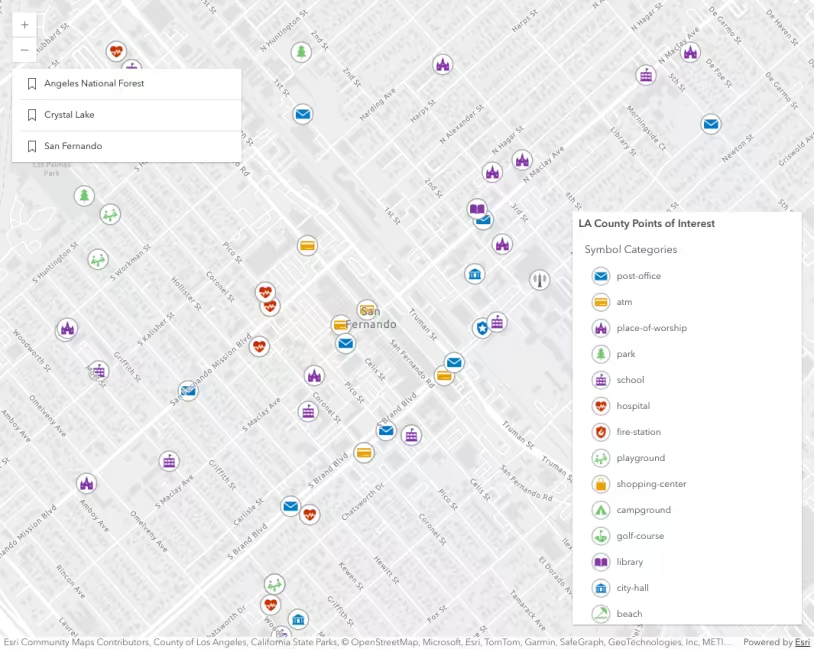
- PictureMarkerSymbol: Uses custom images as markers for point features, with options to customize size, angle, and offset.
- PictureFillSymbol: Uses images to fill polygon features, allowing customization of image URL, size, and scale.
- TextSymbol: Displays text labels on the map with customizable content, font, color, size, and positioning.
3D symbols
3D symbols represent features in three-dimensional space using basic primitive for points, lines, polygons, and mesh geometries. These symbols can be flat, billboarded or draped on a scene, or volumetric shapes.
- PointSymbol3D: Represents individual points in 3D space, with options for shape, size, color, and other properties.
- LineSymbol3D: Symbolizes line features in 3D space with customizable shape, width, color, and other properties.
- PolygonSymbol3D: Represents and styles polygon features in 3D space, allowing customization of shape, height, extrusion properties, color, etc.
- MeshSymbol3D: Represents features using custom 3D mesh geometries, allowing you to use complex 3D models or mesh files to visualize features.
Complex symbols
You can also create your own complex 2D or 3D symbols by either consuming them as pre-defined web styles, or as fully custom CIMSymbols.
- CIMSymbol: Allows you to create fully custom, advanced, scalable symbols using the Cartographic Information Model (CIM). This symbol exposes a wide range of capabilities for highly detailed and complex symbol design.
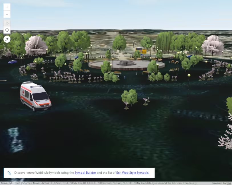
- WebStyleSymbol: Allows you to access a vast library of pre-defined 2D and 3D symbols. These styles provide ready-to-use vector symbols and 3D shapes for, POIs, landmarks, buildings, vegetation, infrastructure, etc.
Related samples and resources
The Core API reference provides more detailed information on each symbol’s specific properties and methods.