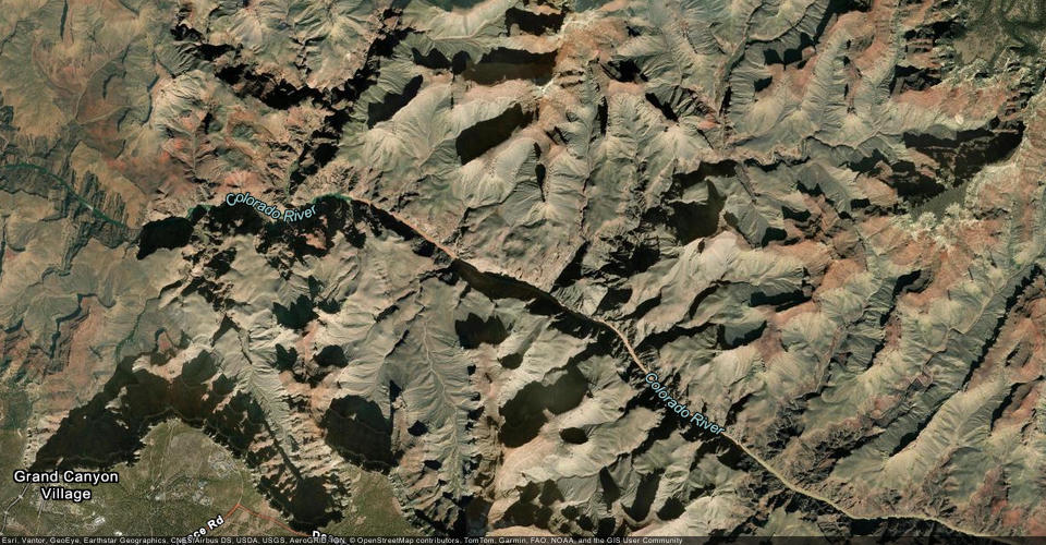
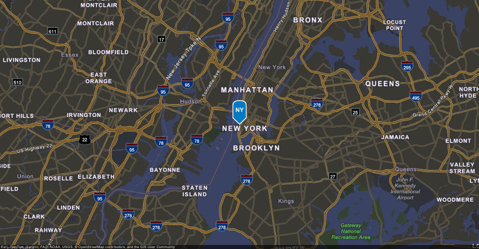
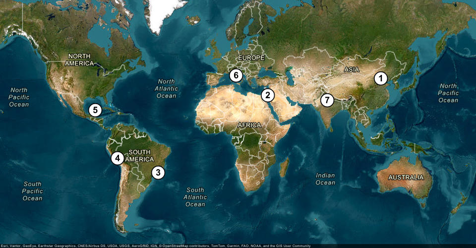
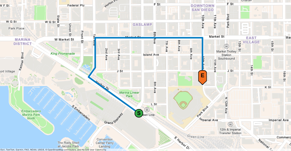
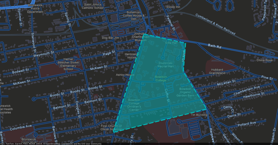
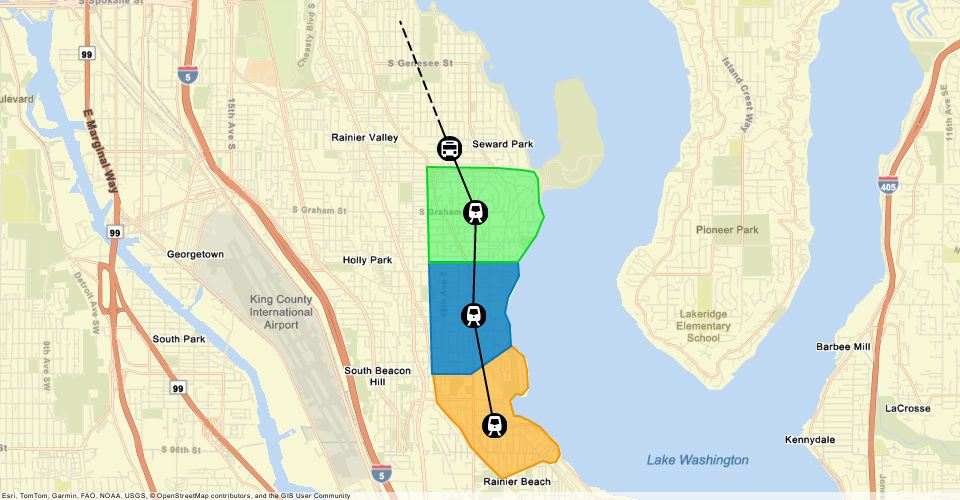
What is a static map?
A static mapx,y coordinates and a spatial reference.png, jpeg, or webp images and do not support user interaction such as panning or zooming. When you request a static map, you can define the map area, image size, and geometry symbols in your request to the service.
Static maps can be generated without a client-side mapping API and are commonly used in web apps, mobile apps, reports, emails, receipts, and other static outputs.
Types of static maps
Depending on your requirements, static maps can be generated using either GET requests for simple maps or POST requests for complex maps. Use the comparison below to choose the map type that best fits your needs.
Simple maps (GET) | Complex maps (POST) | |
|---|---|---|
| Basemap | All supported styles and zoom levels | All supported styles and zoom levels |
| Overlay | Single geometry or multiple points | Multiple geometries |
| Geometry types | Point, polyline, or polygon | Points, polylines, and polygons |
| Maximum geometries | Up to 10 geometries | Up to 64 geometries |
| Maximum coordinates per geometry | Up to 10 coordinates per geometry | Up to 5000 coordinates per geometry, limited by POST body size |
| Marker symbols | Default symbols only | Default and custom symbols |
| Use cases | ||
| Target applications | Web pages, mobile apps, emails, receipts, and lightweight applications | Web apps, mobile apps, reports, dashboards, operational systems, and full-featured mapping applications |
How to get a static map
To create a static map, send a GET or POST request to the ArcGIS Static Maps service. To do so, you need an ArcGIS Location Platform account. The service lets you define the basemap style, map area, overlay geometries, and image specifications. You can customize the geometry styling, output image size, and format.
The base URL for the service is:
https://static-maps-api.arcgis.com/arcgis/rest/services/static-maps-service/{version}/static-maps/{basemapStyle}/{endpoint}The general workflow to create a static map is:
- Map: Define the basemap style, map center, and zoom level (or radius).
- Geometry/Overlay: Define the geometry or geometries for the overlay.
- Image: Specify the image size, format, and attribution style.
- Request: See examples of Static Maps requests for different types of maps:
- Simple static maps:
- Complex static maps:
What's next?
Go to the following topics to learn how to create static maps with different types of geometries and symbols:
Map with a point
Learn how to show a point on a static map.
Map with multiple points
Learn how to show multiple points on a static map.
Map with a polyline
Learn how to show a simple polyline on a static map.
Map with a polygon
Learn how to show a simple polygon on a static map.
Map with multiple geometries
Learn how to show different geometries and symbols on a static map.