Learn how to use developer tools
Mapping
Display maps and layers using basemap services

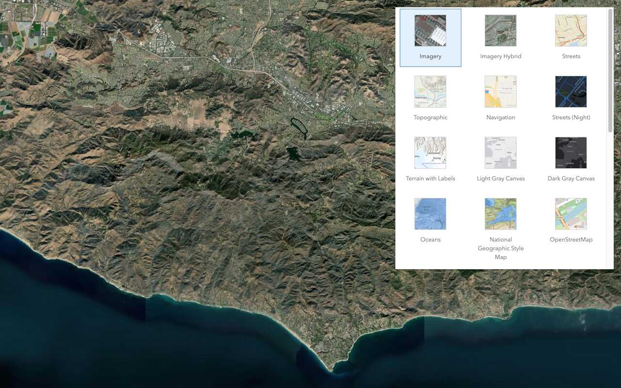
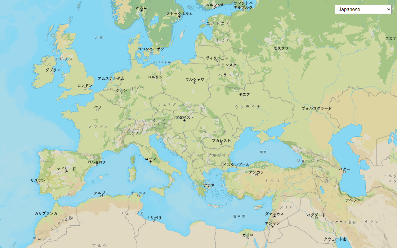
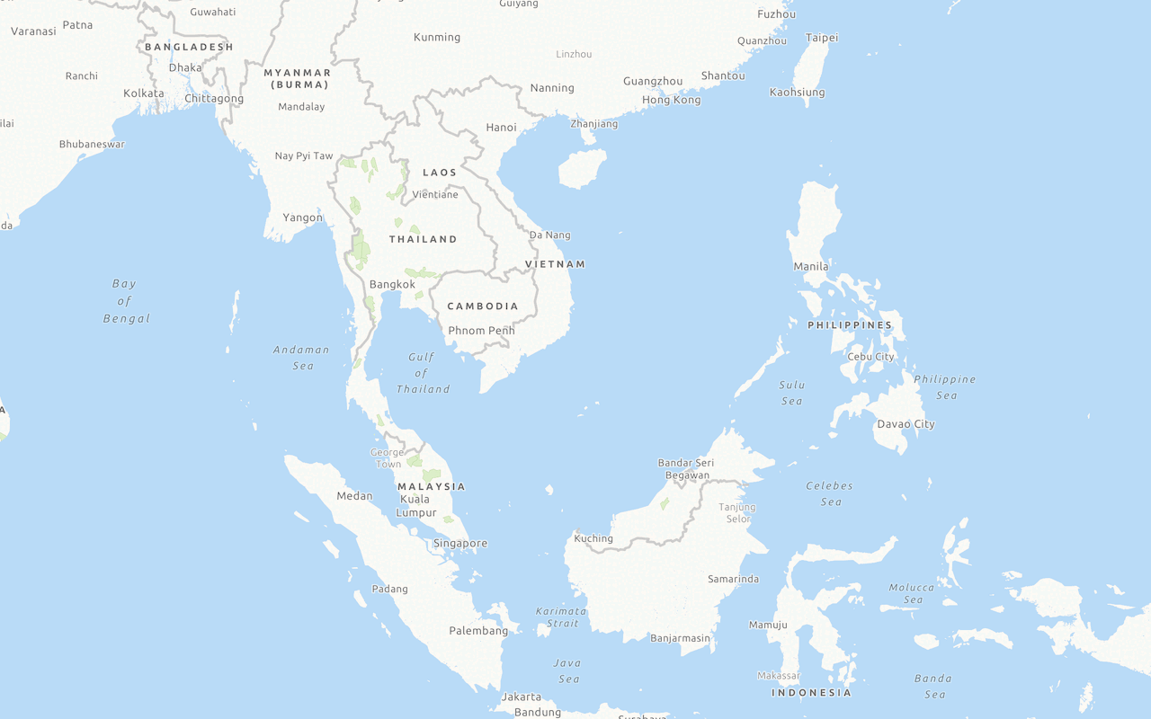
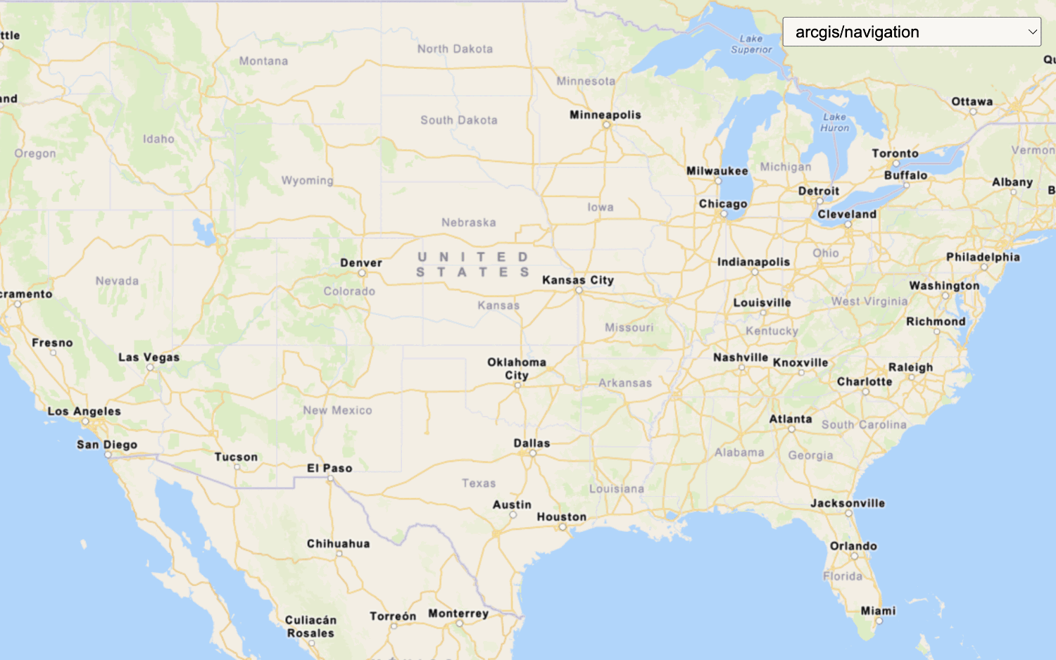
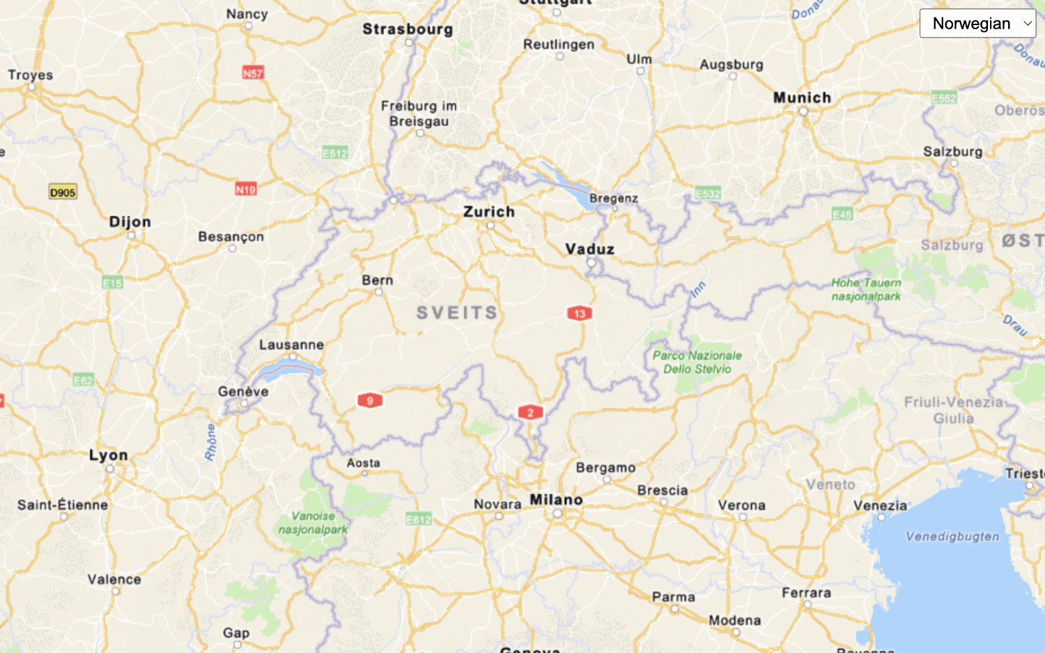
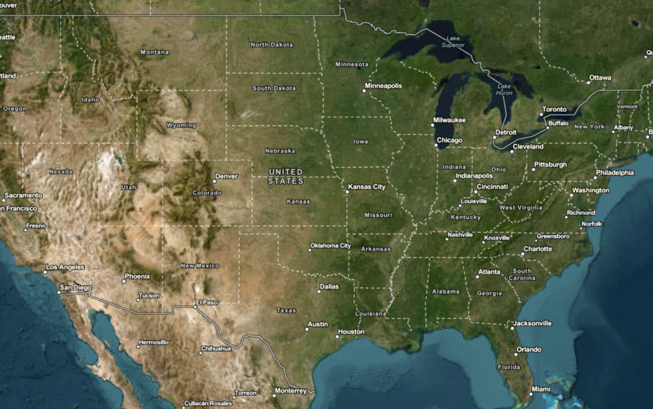
Display a map
Create and display a map with the ArcGIS Basemap Styles service.

Display a map (basemap session)
Display a map with a basemap session that lasts for 12 hours.




Data visualization
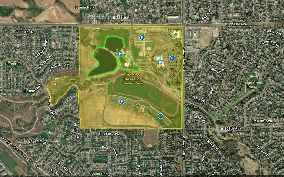
Style 2D and 3D data from feature services
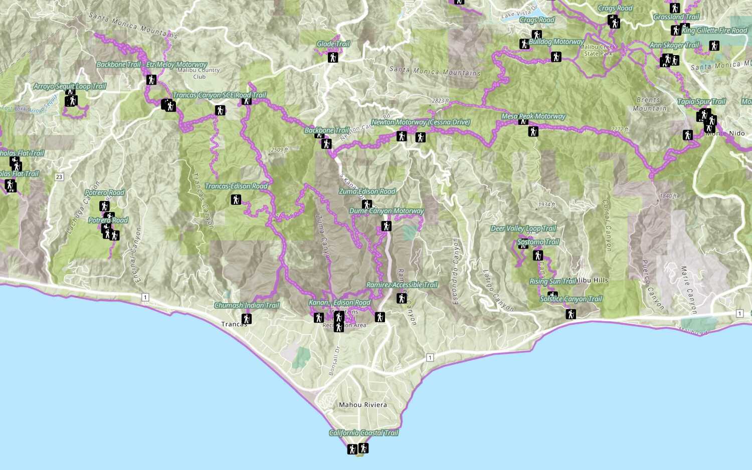
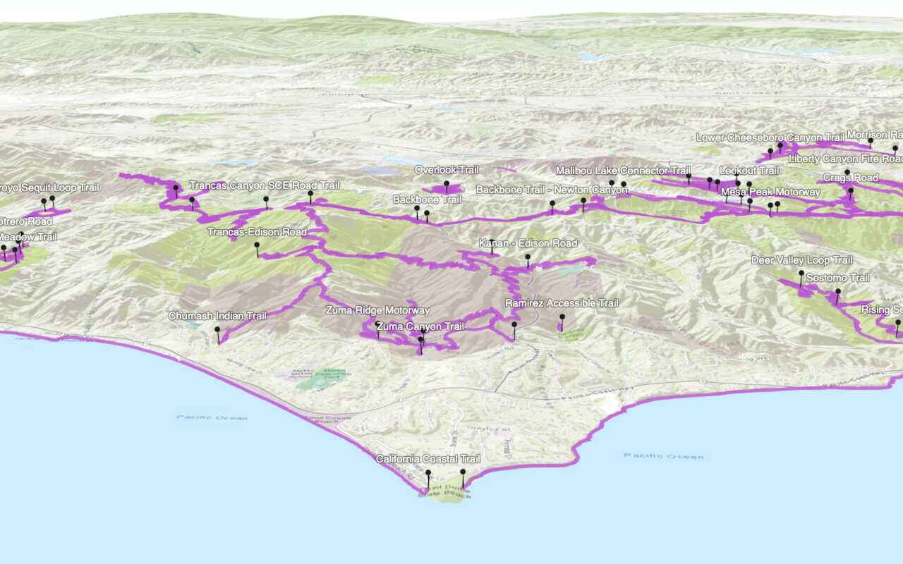
Style a feature layer
Use symbols and renderers to style feature layers.
Place finding
Search for places near a location with the places service

Find nearby places and details
Find points of interest near a location and get detailed information about them.

Find places in a bounding box
Perform a text-based search to find places within a bounding box.
Geocoding
Find addresses and reverse geocode. Learn more in Geocoding.

Search with autosuggest
Search for an address with autosuggest using the geocoding service.


Routing and directions
Find routes and directions and service areas. Learn more in Routing.

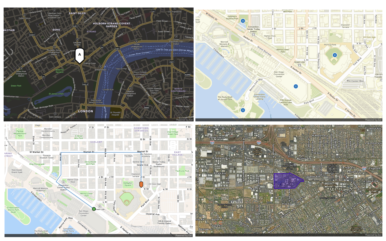
Find a route and directions
Find a route and directions with the routing service.

Find service areas
Create an isochrone with driving distance with the routing service.
Data enrichment
Get local facts and demographic data for locations. Learn more in Data enrichment.
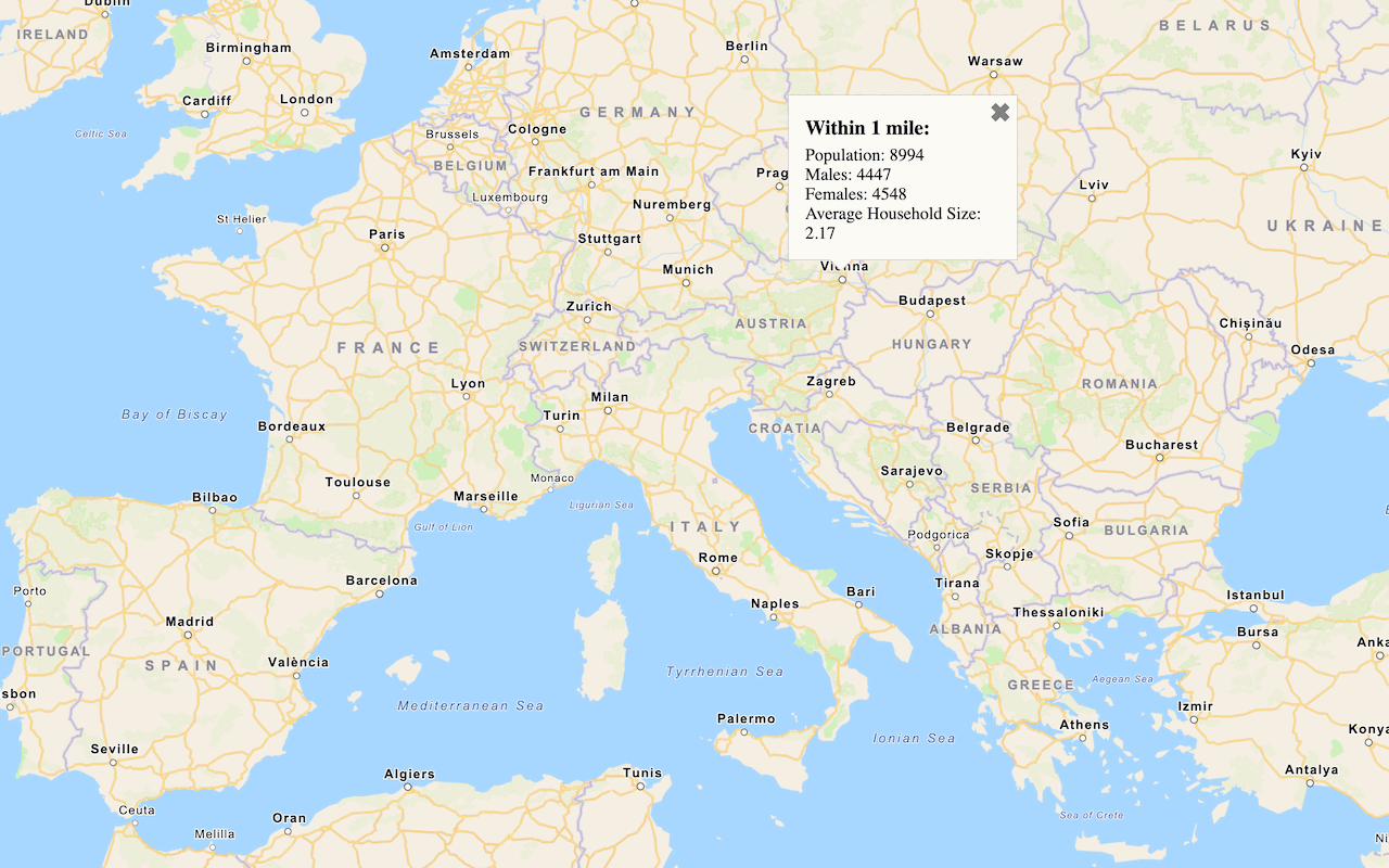
Query demographic data
Query demographic information for locations around the world with the GeoEnrichment service.

Get local data
Query local analysis variables in select countries around the world with the GeoEnrichment service.
Elevation
Find elevation data for a single location or multiple locations on land or water. Learn more in Elevation.
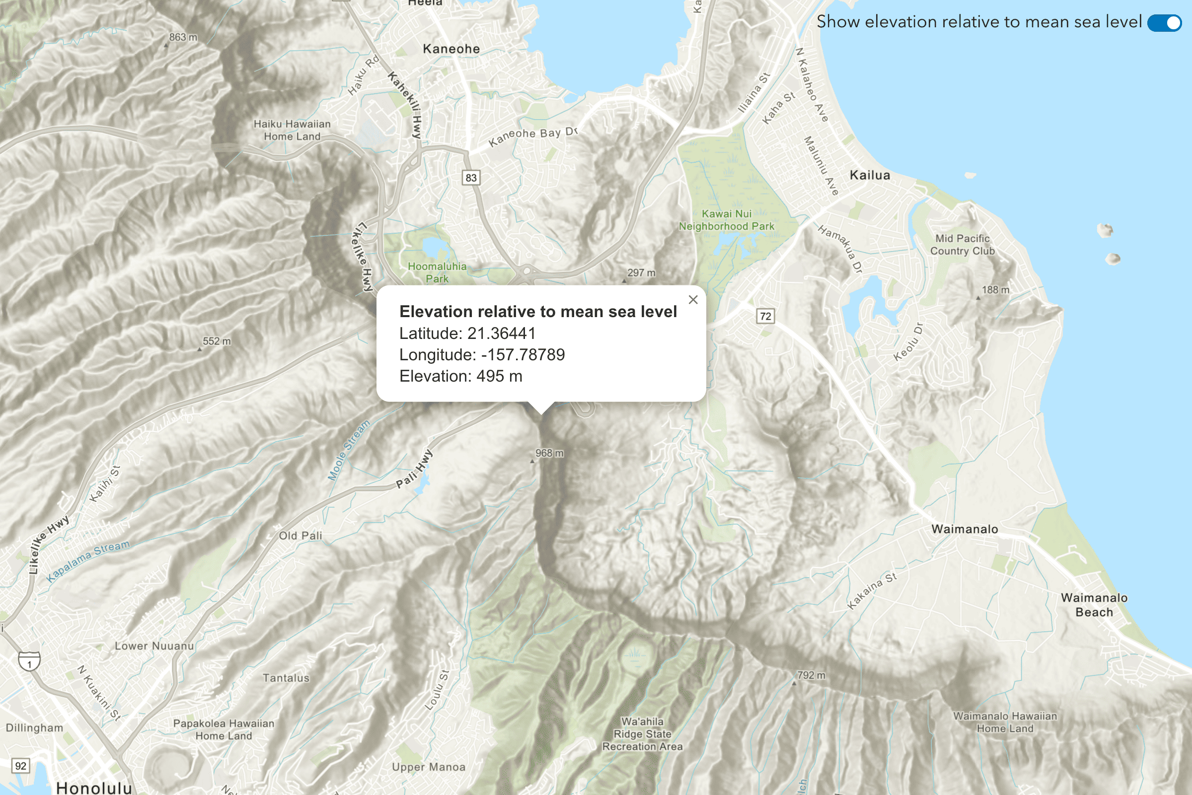
Find the elevation of a point
Find elevation value of a single location on land or water.
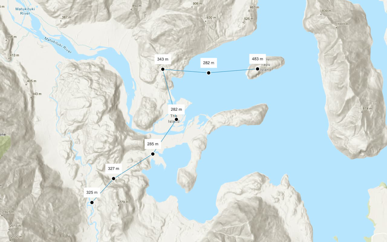
Find the elevations of multiple points
Find elevation values of multiple locations on land or water.