APIs
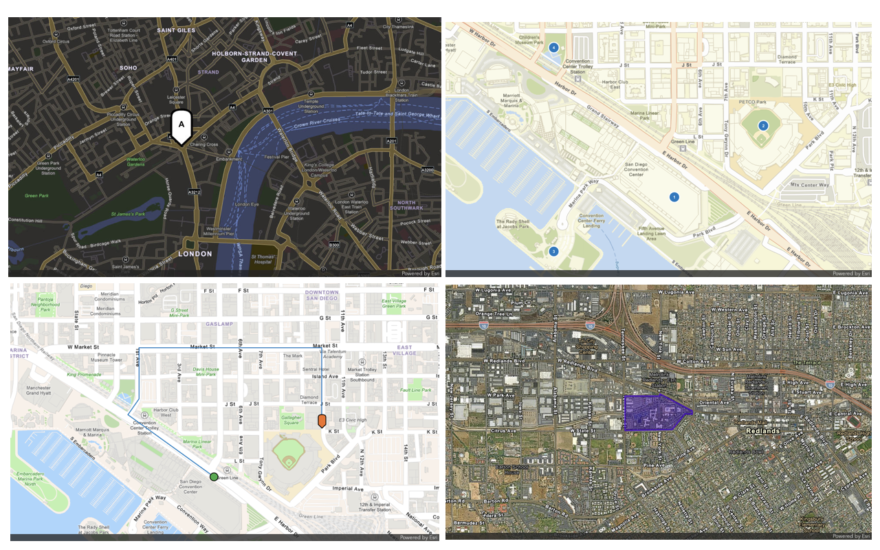
Follow step-by-step instructions or download code solutions for different ArcGIS Maps SDKs, scripting APIs, and open source libraries.

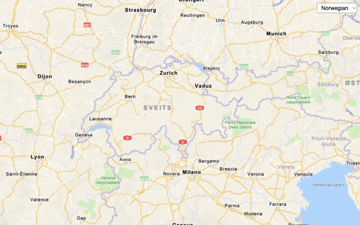
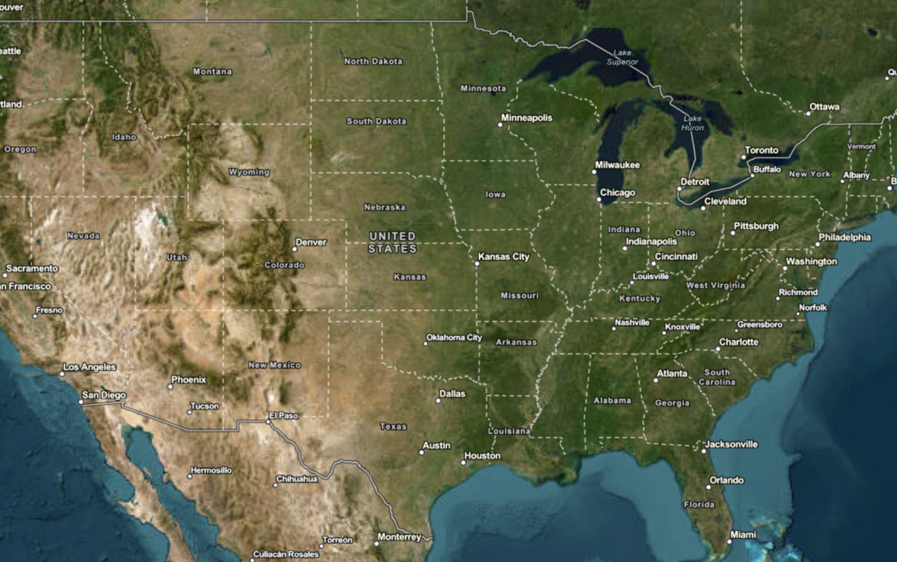
Display a map
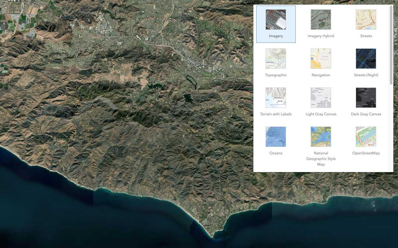
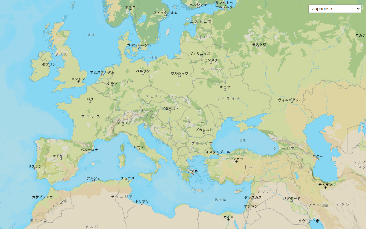
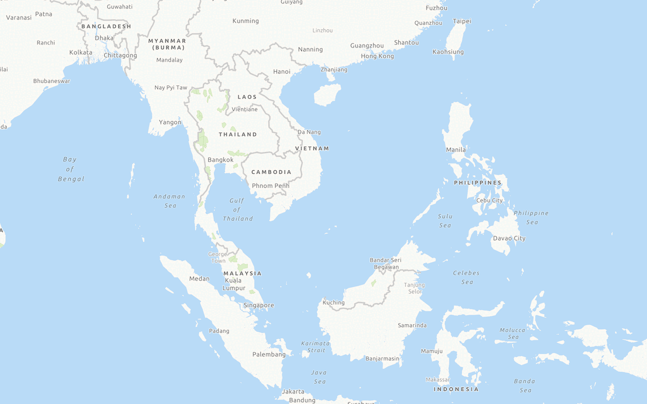
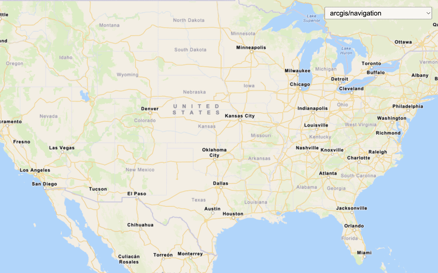
Create and display a map with the ArcGIS Basemap Styles service.

Display a map (basemap session)
Display a map with a basemap session that lasts for 12 hours.




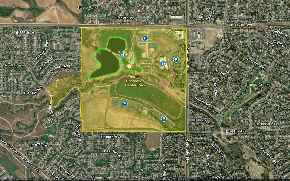
Tools
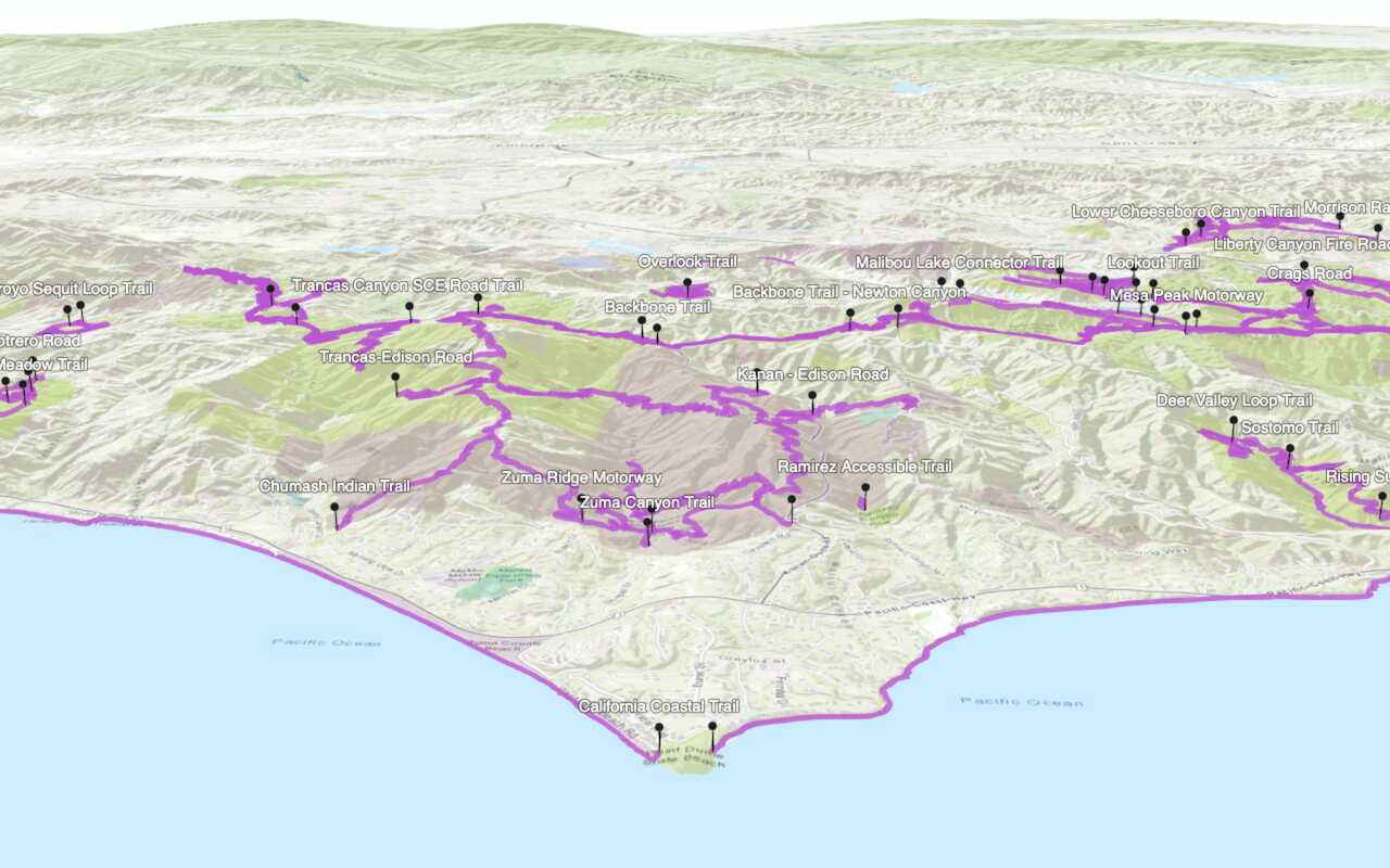
Learn how to create custom basemap layers, web maps, and web scenes with different mapping tools.
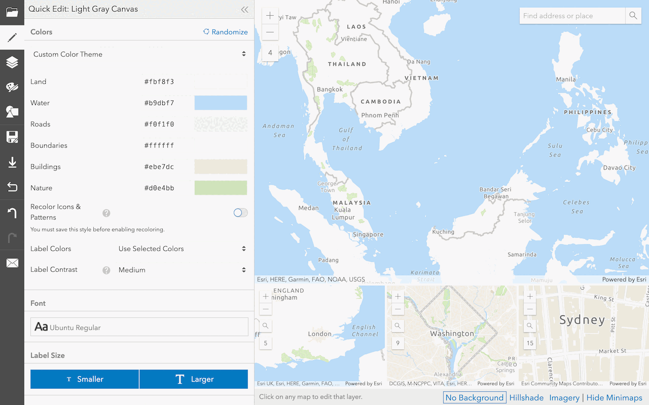
Create a custom basemap style
Use the ArcGIS Vector Tile Style Editor to style a vector tile basemap layer.


