Maps
Display vector and raster basemaps with the MapLibre ArcGIS plugin.
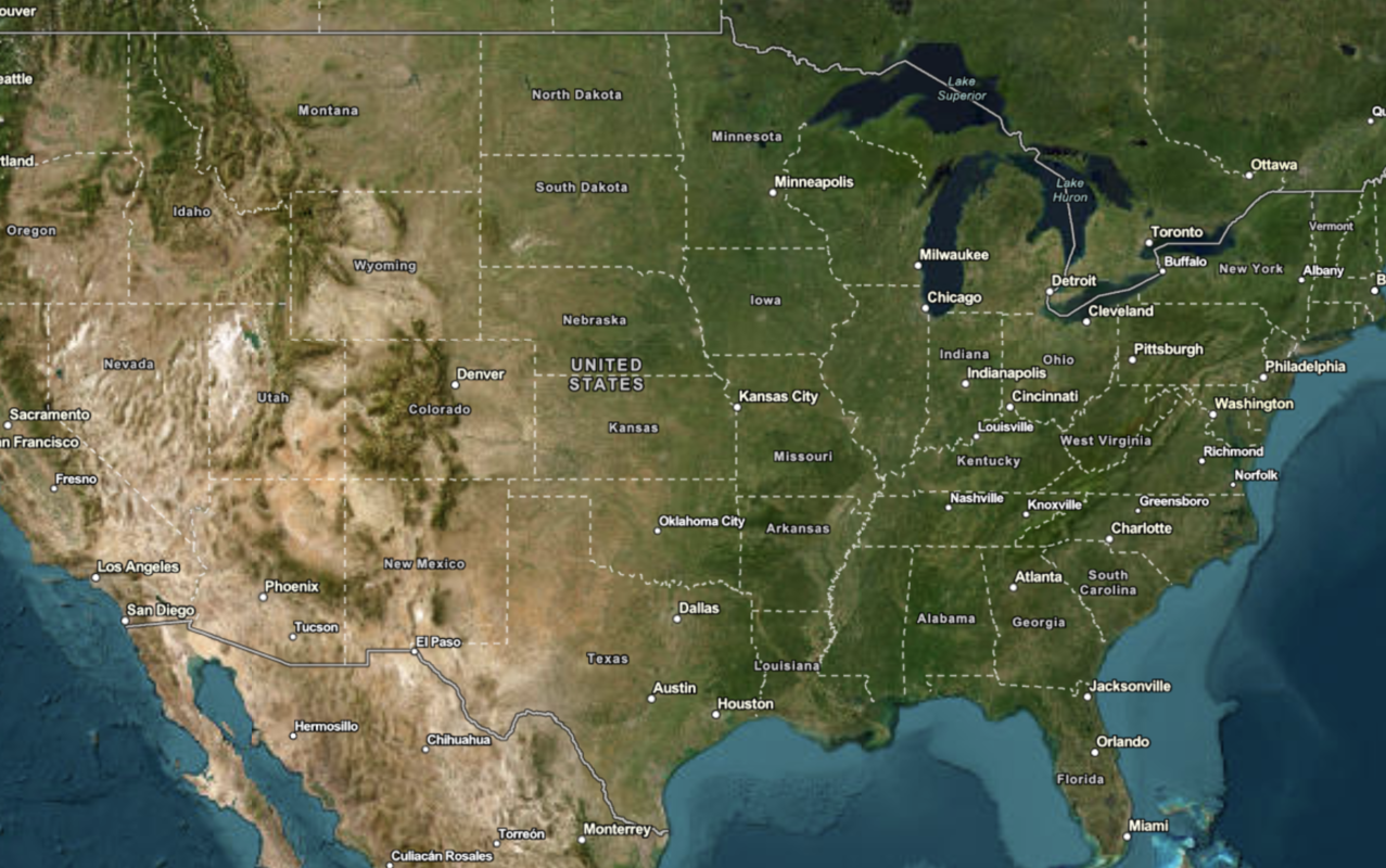
Vector tile basemaps

Display a map
Create and display a vector tile basemap on a map.
Display a map (basemap session)
Display a map with a basemap session that lasts for 12 hours.

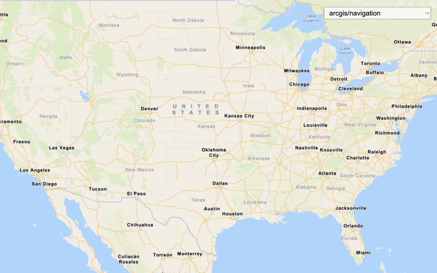
Change the basemap style
Switch a vector basemap style on a map.
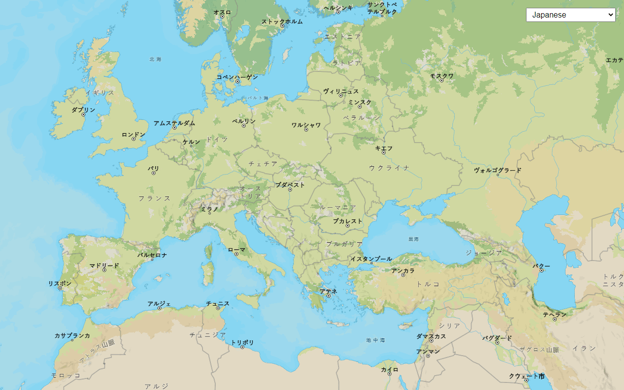
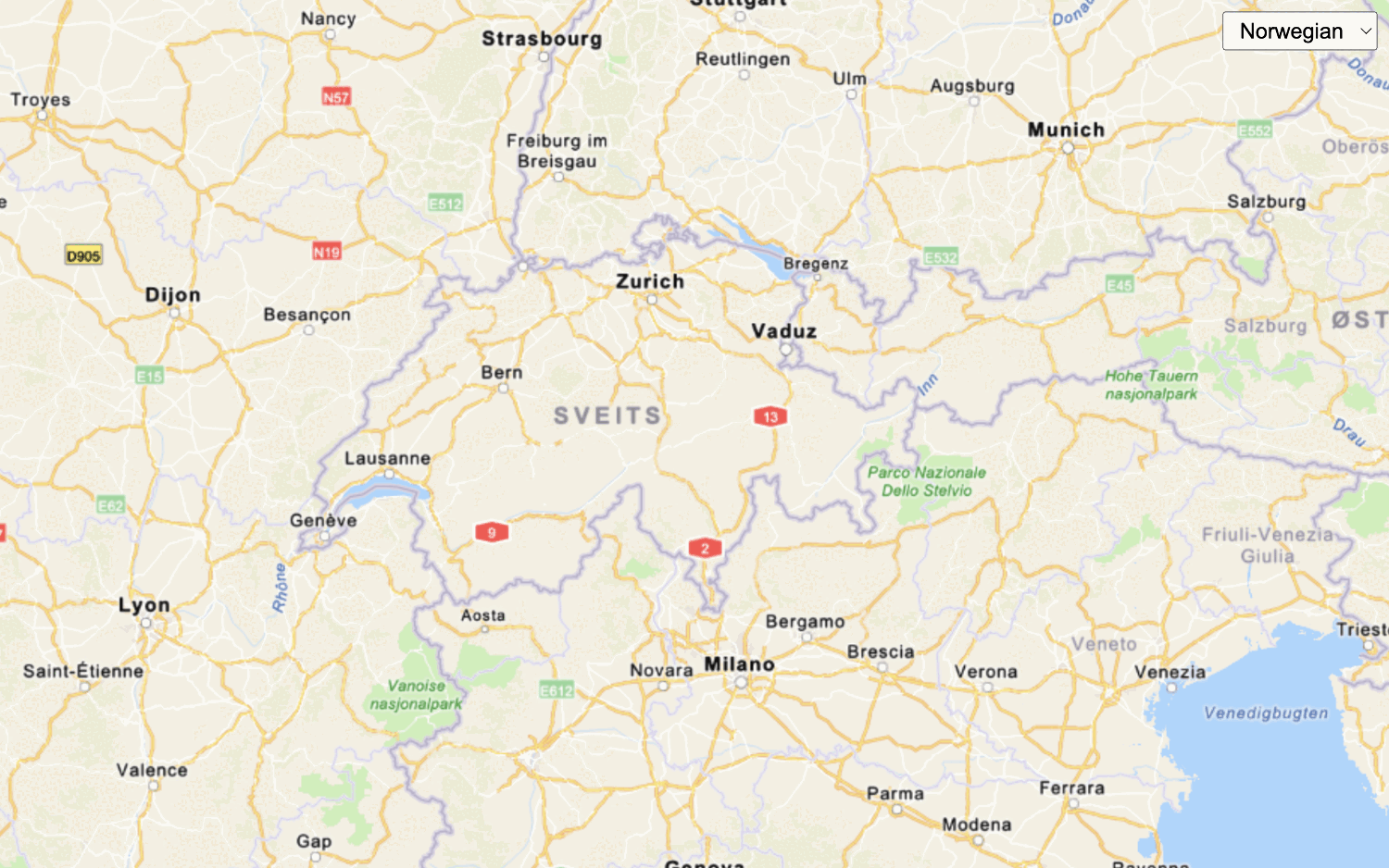
Change language labels
Switch the language of place labels on a basemap.
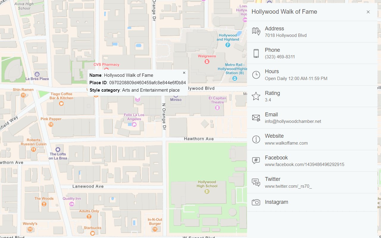
Display basemap places
Display places of interest on a basemap and get place details.

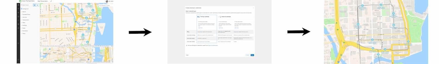
Display a custom basemap style
Add a custom vector basemap style to a map.
Raster tile basemaps


Data
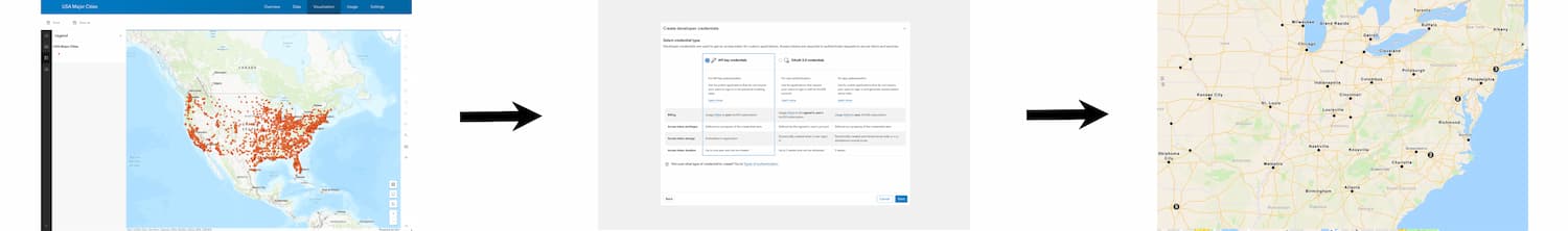
Access and display your data from a data service
Feature service

Add a feature layer as GeoJSON
Display and style GeoJSON features from a feature service.

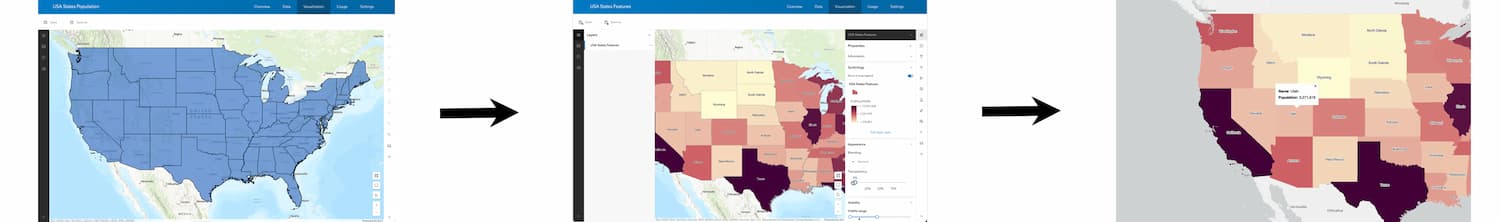
Style a feature layer
Use data-driven styling to apply symbol colors and styles to feature layers.

Query a feature layer (SQL)
Execute a SQL query to access polygon features from a feature layer.

Query a feature layer (spatial)
Execute a spatial query to access polygon features from a feature service.

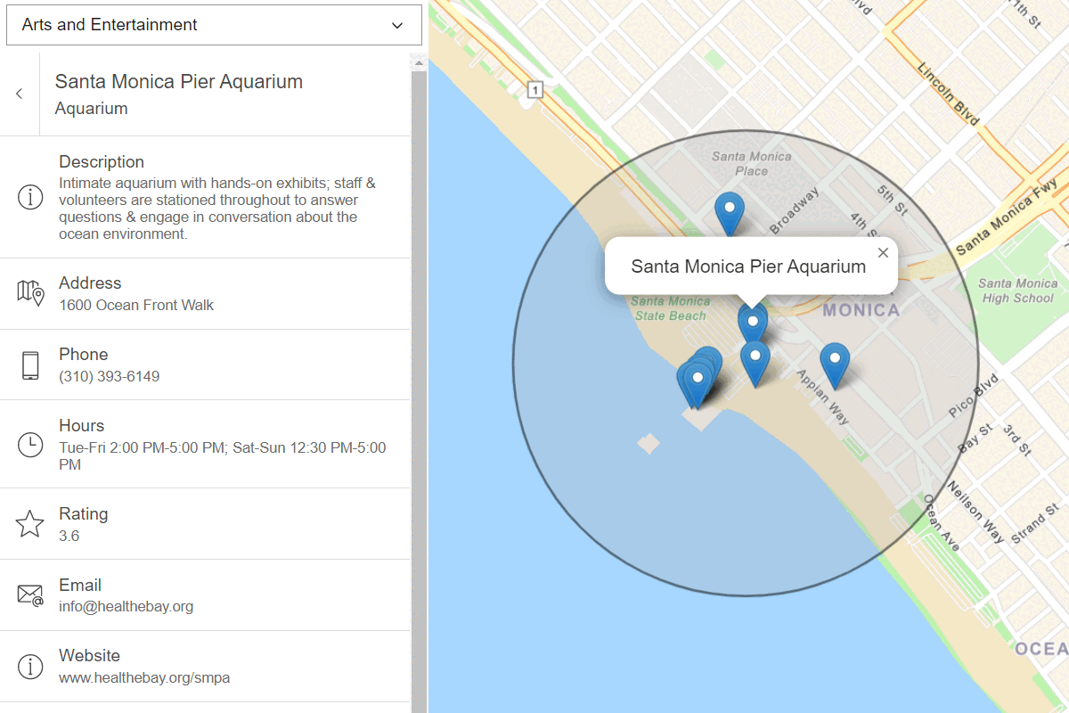
Display a pop-up
Display feature attributes in a popup.
Vector tile service


Map tile service
Geocoding
Find addresses and reverse geocode with ArcGIS REST JS and the ArcGIS Geocoding service


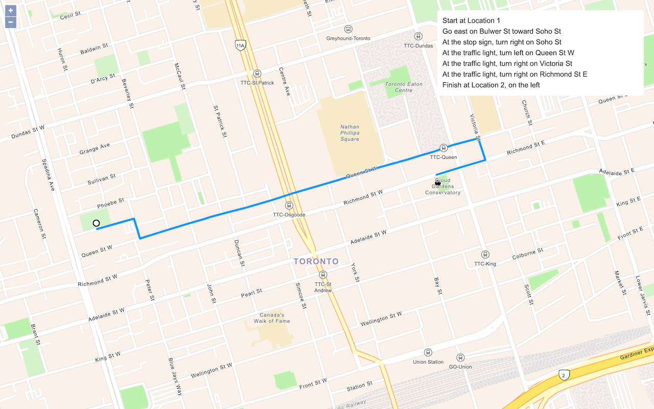
Route and directions
Find routes, directions, and service areas with ArcGIS REST JS and the ArcGIS Routing service

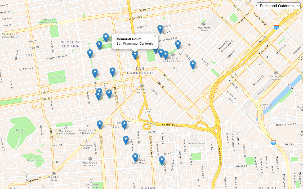
Places
Search for places near a location with ArcGIS REST JS and the ArcGIS Places service

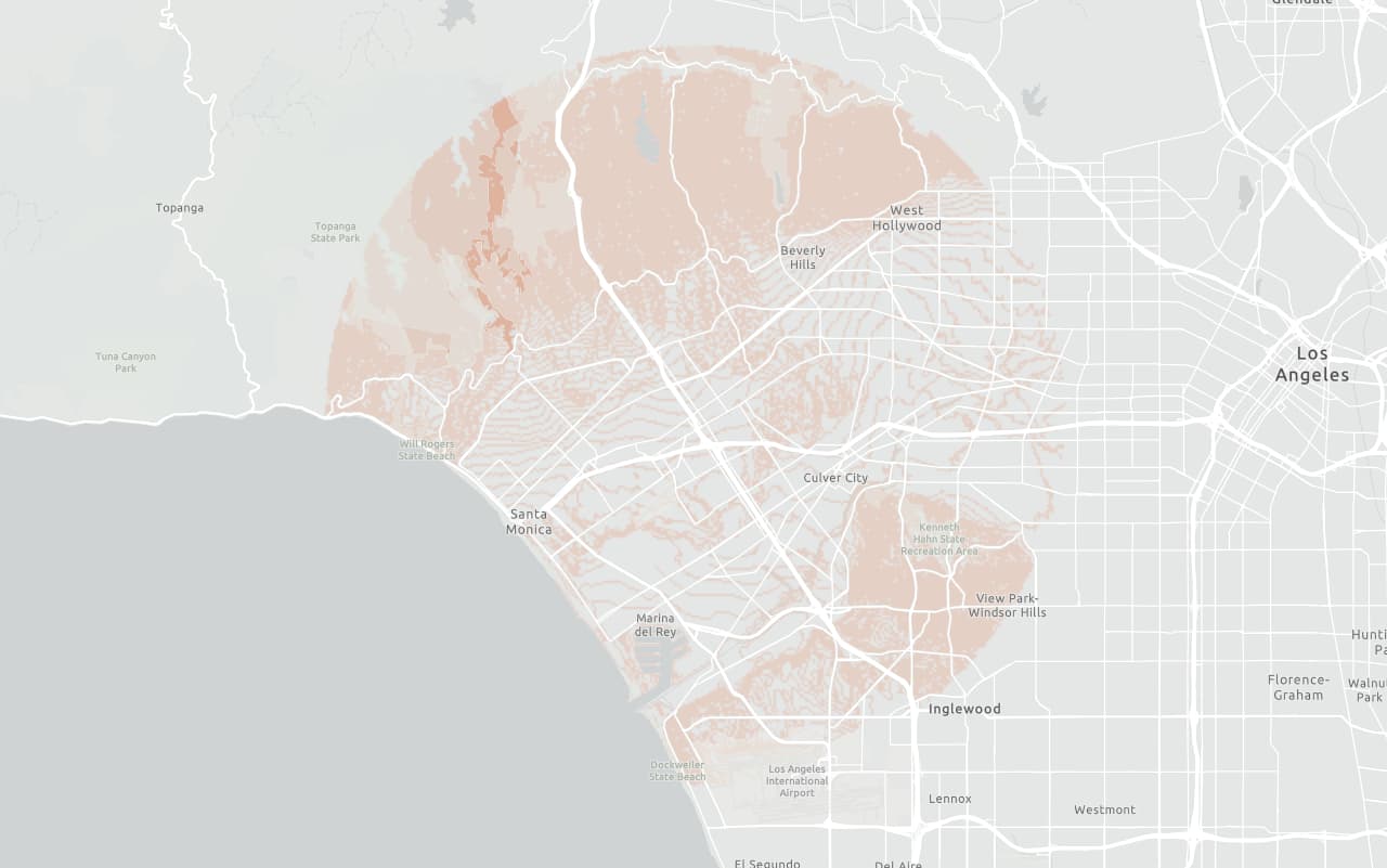
Data enrichment
Get local facts and demographic data for locations with ArcGIS REST JS and the ArcGIS GeoEnrichment service


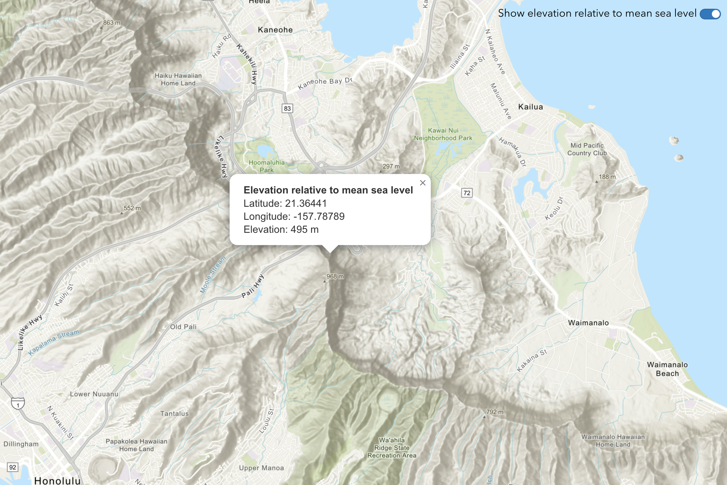
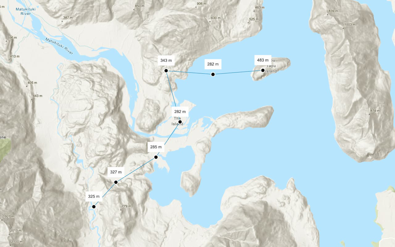
Elevation
Find elevation data for locations with ArcGIS REST JS and the ArcGIS Elevation service
Spatial analysis
Perform analyses to find patterns in data with ArcGIS REST JS and the spatial analysis service
