One of the most common types of analysis is geometry analysis.
What is geometry analysis?
Geometry analysis is the process of using a client-side APIx,y coordinates and a spatial reference.
Types of geometry operations
Geometry operations are grouped based on the type of calculation they perform and value returned.
To learn more, click on the categories below:
| Category | Description | Operations | Result | Example |
|---|---|---|---|---|
| Spatial relationship | Determine the relationship between geometries. | contains, disjoint, intersects, overlaps, touches, within | boolean |  Determine the intersection of two geometries with intersects. |
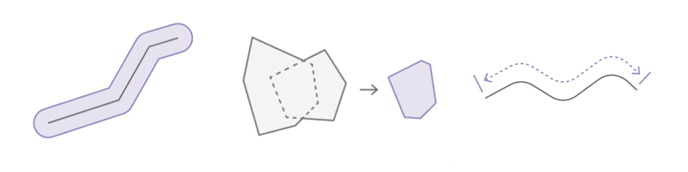
| Geometric calculation | Calculate and create new geometries from an existing geometries. | boundary, buffer, clip, convex, cut, densify, difference, extent, generalize, intersect, nearest, nearest, offset, relate, reshape, simplify, trim, union | geometry |  Buffer a line at 10 meters with buffer. |
| Length and area | Measure length, area, or distance. | area, distance, length | number |  Calculate the geodesic length of a line with length. |
| Projection | Project to a new spatial reference. | project | geometry |  Project a geometry to a new spatial reference with project. |
Tutorials

Find spatial relationships

Calculate geometries

Find length and area

Display projected geometries
API support
| Spatial relationship | Geometric calculation | Length and area | Projection | |
|---|---|---|---|---|
| ArcGIS Maps SDK for JavaScript | ||||
| ArcGIS Maps SDK for .NET | ||||
| ArcGIS Maps SDK for Kotlin | ||||
| ArcGIS Maps SDK for Swift | ||||
| ArcGIS Maps SDK for Flutter | ||||
| ArcGIS Maps SDK for Java | ||||
| ArcGIS Maps SDK for Qt | ||||
| ArcGIS API for Python | ||||
| ArcGIS REST JS | ||||
| Leaflet | ||||
| MapLibre GL JS | ||||
| OpenLayers |