Maps
Each layer
Basemap layers
A basemap is the foundational layer and data that provides the overall visual and geographic context for a map
A basemap is composed of a collection of base layers and reference layers
The basemap styles service
        // Set your API key during app initialization.        // ArcGISEnvironment.apiKey = APIKey("<#YOUR-ACCESS-TOKEN#>")
let map = Map( basemapStyle: .arcGISNavigation // .arcGISTopographic, .arcGISLightGray, .openDarkGray ) // Set your API key during app initialization. // ArcGISEnvironment.apiKey = APIKey("<#YOUR-ACCESS-TOKEN#>")
let map = Map( basemapStyle: .arcGISImagery // .arcGISHillshadeLight, .arcGISHillshadeDark )Data layers
A data layer
A data layer
The data for a data layer
A data layer can also be created from a dataset stored on the device
To add a data layer
        // Set your API key during app initialization.        // ArcGISEnvironment.apiKey = APIKey("<#YOUR-ACCESS-TOKEN#>")        let map = Map(            basemapStyle: .arcGISTopographic        )
        let trailheadsLayer = FeatureLayer(            featureTable: ServiceFeatureTable(                url: URL(string: "https://services3.arcgis.com/GVgbJbqm8hXASVYi/arcgis/rest/services/Trailheads_Styled/FeatureServer/0")!            )        )
        let trailsLayer = FeatureLayer(            featureTable: ServiceFeatureTable(                url:                    URL(string: "https://services3.arcgis.com/GVgbJbqm8hXASVYi/arcgis/rest/services/Trails_Styled/FeatureServer/0")!            )        )
        let openSpaceLayer = FeatureLayer(            featureTable: ServiceFeatureTable(                url:                    URL(string: "https://services3.arcgis.com/GVgbJbqm8hXASVYi/arcgis/rest/services/Parks_and_Open_Space_Styled/FeatureServer/0")!            )        )
        map.addOperationalLayers([trailheadsLayer, trailsLayer, openSpaceLayer])
Use API key access tokens
An API key access tokenAPIKeyResource.
Tutorials


Samples

Add feature layers

Group layers together
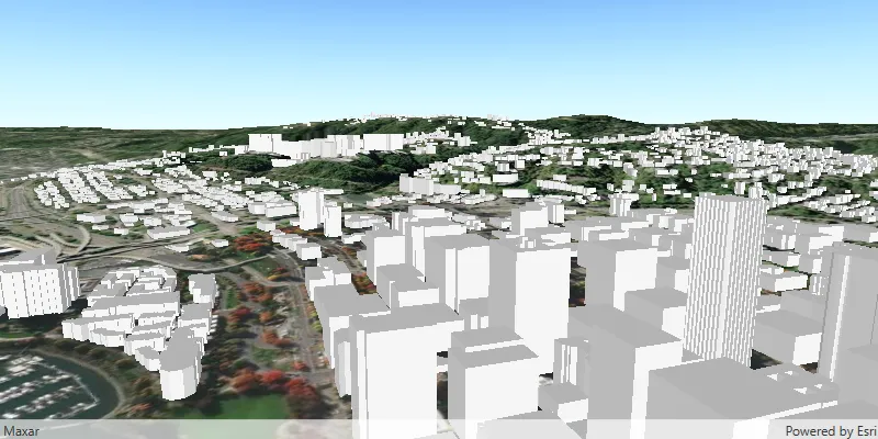
Add scene layer from service

Manage operational layers
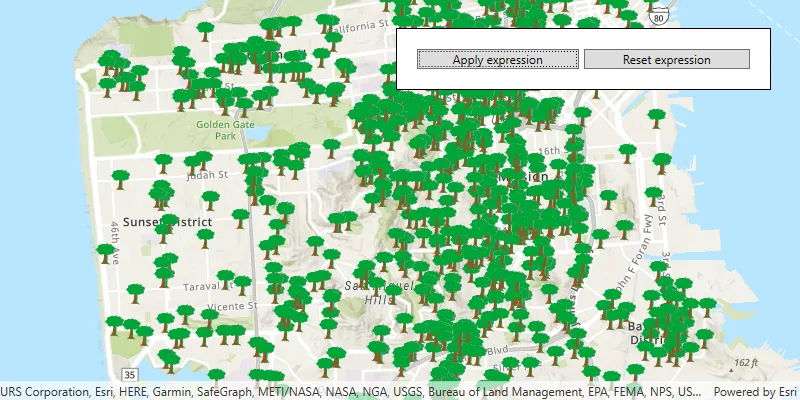
Filter by definition expression or display filter
