Use the portal
Prerequisites
You need an ArcGIS Location Platform or ArcGIS Online account.
Steps
Get the data
For this how-to, use a polygon GeoJSON dataset.
-
In your web browser, go to the USA States Population item by
esri._devlabs -
Click the Download button to download the GeoJSON file locally.
Sign in to the portal
- Sign in to your portal.
- ArcGIS Location Platform: Go to https://location.arcgis.com and sign in. In the dashboard, click My portal to go to your portal.
- ArcGIS Online: Go to https://arcgis.com and sign in.
Import the US population data
The GeoJSON file contains polygon data with attributes. Importing the file will create a new polygon feature layer in a feature service
-
In the top navigation bar, click My dashboard.
-
In the top navigation bar of your dashboard, click Layers and data services.
-
Click Import data.
-
In the New item window, upload the USA_States_Population file by either:
- Dragging and dropping the file.
- Or, clicking Your device and navigate to the file path.
-
Select Add USA_States_Population and create a hosted feature layer to publish the file as a hosted feature layer
A hosted feature layer is a hosted layer (item) in a portal that is used to manage the properties and settings of a spatially-enabled feature layer in a feature service. . -
In Fields, leave all fields at their default settings and click Next.
-
In Location settings, leave the default settings and click Next.
-
Set the following information in the item details pane:
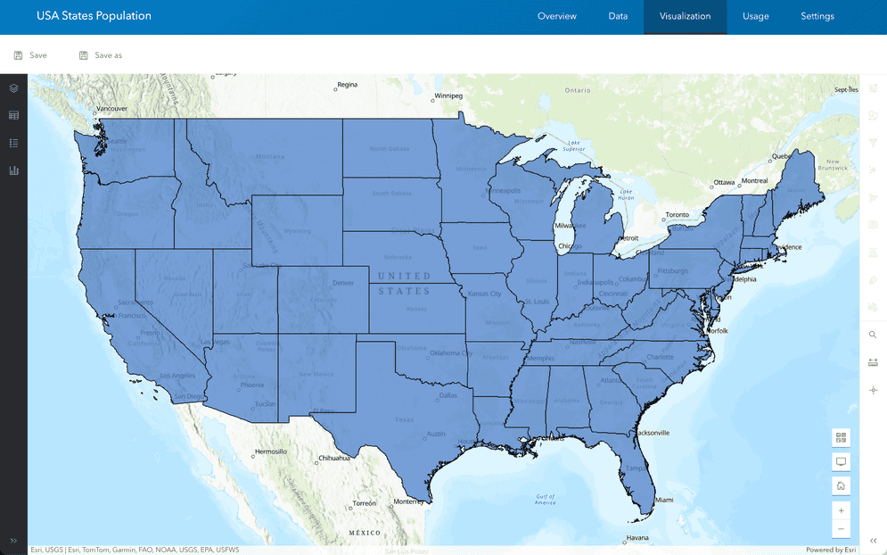
- Title:
USA States Population - Tags:
polygonpopulation. - Summary:
Polygon features of USA states and their population.
- Title:
-
Click Save to create the new USA_States_Population feature layer
A feature layer (client-side) is a data layer that can access and display features from a feature service that has the same type of geometry and attribute fields. and feature serviceA feature service is a data service that provides access to spatial and non-spatial data in feature layers, feature layer views, and tables. .